
| Distance / Altitude | Location | Report Date / Time | Live Weather | Wind | Gusts | Temp. | Visibility | Cloud |
|---|---|---|---|---|---|---|---|---|
| 1 km ENE / 3 m | BUOY-APXA2 (Marine) | 2026-05-22 07:45 local (2026/05/22 15:45 GMT) | calm (4 km/h at 120) | 5°C | - | |||
| 19 km S / 3 m | Lower Cook Inlet (Marine) | 2026-05-22 09:00 local (2026/05/22 17:00 GMT) | - (- km/h at -) | — | - | |||
| 26 km SE / 215 m | Homer Airport (Alaska) | 2026-05-22 07:53 local (2026/05/22 15:53 GMT) | Dry and cloudy | light winds from the NW (6 km/h at 310) | 6°C | 16 | scattered broken overcast | |
| 32 km SE / 3 m | BUOY-HMRA2 (Marine) | 2026-05-22 08:30 local (2026/05/22 16:30 GMT) | light winds from the WNW (9 km/h at 300) | — | - | |||
| 32 km SE / 3 m | BUOY-HMSA2 (Marine) | 2026-05-22 09:01 local (2026/05/22 17:01 GMT) | light winds from the W (13 km/h at 280) | 6°C | - | |||
| 36 km E / 396.2 m | Homer (Alaska) | 2026-05-22 09:04 local (2026/05/22 17:04 GMT) | dry | calm (0 km/h at 256) | 4°C | - | - - 0 | |
| 36 km E / 434 m | Homer (Alaska) | 2026-05-22 09:06 local (2026/05/22 17:06 GMT) | dry | calm (0 km/h at 104) | 3°C | - | - - 0 | |
| 37 km SSE / 211 m | Seldovia Airport (Alaska) | 2026-05-22 07:53 local (2026/05/22 15:53 GMT) | - | wind obs. (6 kph from 150 degs) was rejected (- km/h at -) | 6°C | 0.0 | ||
| 38 km SSE / 3 m | BUOY-OVIA2 (Marine) | 2026-05-22 08:48 local (2026/05/22 16:48 GMT) | - (- km/h at -) | — | - | |||
| 93 km NNE / 216 m | Soldotna Airport (Alaska) | 2026-05-22 07:56 local (2026/05/22 15:56 GMT) | Dry and cloudy | calm (0 km/h at 0) | 5°C | 16 | few scattered overcast |
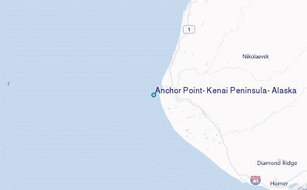
Choose Anchor Point, Kenai Peninsula, Alaska Location Map Zoom:
Other Nearby Locations' tide tables and tide charts to Anchor Point, Kenai Peninsula, Alaska:
click location name for more details
 Surf breaks close to Anchor Point, Kenai Peninsula, Alaska:
|
||
|---|---|---|
| Closest surf break | Bird Point (Tidal Bore) | 68 mi |
| Second closest surf break | Termination Point | 134 mi |
| Third closest surf break | Mill Bay | 135 mi |
| Fourth closest surf break | Monashka Bay | 135 mi |
| Fifth closest surf break | Fossil Beach Kodiak | 163 mi |


 Nearest
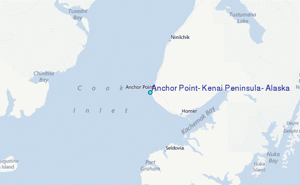