
| Distance / Altitude | Location | Report Date / Time | Live Weather | Wind | Gusts | Temp. | Visibility | Cloud |
|---|---|---|---|---|---|---|---|---|
| 108 km ESE / 3 m | Taro Island (Solomon Islands) | 2026-07-10 06:00 local (2026/07/09 19:00 GMT) | distant precipitation but not falling at station | wind obs. (11 kph from 140 degs) was rejected (- km/h at -) | 26°C | 20 | - | |
| 253 km W / 15 m | SHIP2103 (Marine) | 2026-07-10 05:00 local (2026/07/09 18:00 GMT) | light winds from the E (18.36 km/h at 80) | 30°C | 17.7 km | |||
| 305 km SE / 6 m | Munda-New Georgia (Solomon Islands) | 2026-07-10 06:00 local (2026/07/09 19:00 GMT) | distant precipitation but not falling at station | - (- km/h at -) | 25°C | 4000 | - - - | |
| 420 km SE / 2 m | Penrhyn Island (Samoa) | 2026-07-10 05:00 local (2026/07/09 18:00 GMT) | - | calm (4 km/h at 240) | 27°C | 10.0 | few | |
| 604 km SE / 182 m | Honiara (Solomon Islands) | 2026-07-10 06:00 local (2026/07/09 19:00 GMT) | moderate to heavy rain showers | moderate winds from the S (22 km/h at 180) | 24°C | 10 | - | |
| 524 km SW / 15 m | SHIP5989 (Marine) | 2026-07-10 05:00 local (2026/07/09 18:00 GMT) | fresh winds from the SE (38.88 km/h at 140) | 30°C | 17.7 km | |||
| 524 km SW / 15 m | SHIP2121 (Marine) | 2026-07-10 05:00 local (2026/07/09 18:00 GMT) | fresh winds from the SE (38.88 km/h at 140) | 30°C | 17.7 km | |||
| 524 km SW / 15 m | SHIP1535 (Marine) | 2026-07-10 05:00 local (2026/07/09 18:00 GMT) | fresh winds from the SE (38.88 km/h at 140) | 30°C | 17.7 km | |||
| 603 km SE / 182 m | Honiara (Solomon Islands) | 2026-07-10 06:00 local (2026/07/09 19:00 GMT) | moderate to heavy rain showers | moderate winds from the S (22 km/h at 180) | 24°C | 10 | - | |
| 612 km SE / 9 m | Honiara/Henderson Airport (Solomon Islands) | 2026-07-10 06:00 local (2026/07/09 19:00 GMT) | Dry and partly cloudy | calm (4 km/h at 200) | 23°C | 10.0 | few scattered - |
| Contours: | Roads & Rivers: | Select a
tide station / surf break / city |
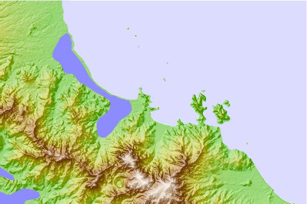
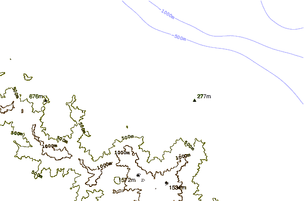
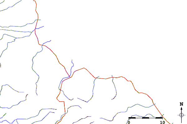
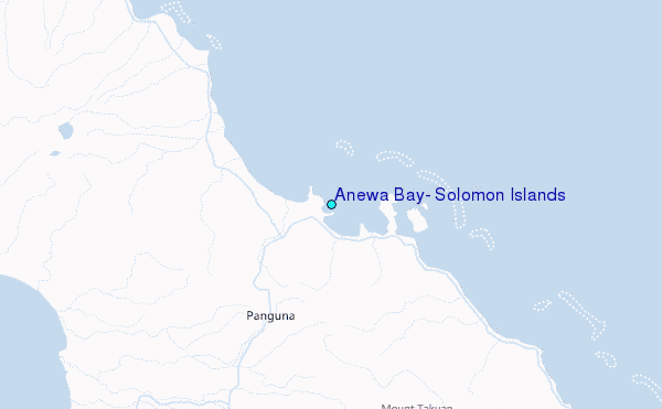
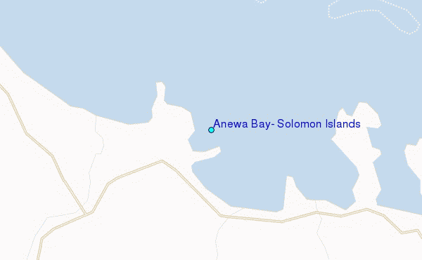
Use this relief map to navigate to tide stations, surf breaks and cities that are in the area of Anewa Bay, Solomon Islands.
Other Nearby Locations' tide tables and tide charts to Anewa Bay, Solomon Islands:
click location name for more details
 Surf breaks close to Anewa Bay, Solomon Islands:
|
||
|---|---|---|
| Closest surf break | Pailongge | 157 mi |
| Second closest surf break | Titiana | 159 mi |
| Third closest surf break | Makuti | 167 mi |
| Fourth closest surf break | Despretes | 182 mi |
| Fifth closest surf break | Skull Island | 185 mi |


 Nearest
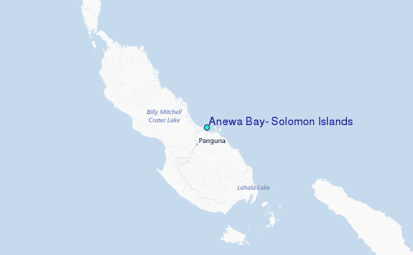