
| Distance / Altitude | Location | Report Date / Time | Live Weather | Wind | Gusts | Temp. | Visibility | Cloud |
|---|---|---|---|---|---|---|---|---|
| 80 km NE / 28 m | Saint-Michael Airport (Alaska) (Alaska) | 2026-06-23 17:56 local (2026/06/24 01:56 GMT) | Clear | light winds from the N (17 km/h at 350) | 17°C | 16 | ||
| 107 km S / 103 m | Mountain Village Airport (Alaska) | 2026-06-23 17:56 local (2026/06/24 01:56 GMT) | Dry and partly cloudy | light winds from the NNW (19 km/h at 340) | 22°C | 16 | broken | |
| 109 km S / 217 m | Saint Marys Airport (Alaska) | 2026-06-23 17:56 local (2026/06/24 01:56 GMT) | Dry and partly cloudy | moderate winds from the NW (20 km/h at 310) | 22°C | 16 | broken broken | |
| 128 km WSW / 15 m | SHIP3408 (Marine) | 2026-06-23 17:00 local (2026/06/24 01:00 GMT) | - (- km/h at -) | — | - km | |||
| 149 km SSE / 31 m | Marshall (Alaska) | 2026-06-23 17:56 local (2026/06/24 01:56 GMT) | Dry and partly cloudy | wind obs. (9 kph from 190 degs) was rejected (- km/h at -) | 19°C | 16 | broken broken | |
| 128 km WSW / 3 m | SHIP8106 (Marine) | 2026-06-23 17:00 local (2026/06/24 01:00 GMT) | - (- km/h at -) | — | - | |||
| 128 km WSW / 15 m | SHIP4729 (Marine) | 2026-06-23 17:00 local (2026/06/24 01:00 GMT) | - (- km/h at -) | — | - km | |||
| 128 km WSW / 15 m | SHIP4319 (Marine) | 2026-06-23 17:00 local (2026/06/24 01:00 GMT) | - (- km/h at -) | — | - km | |||
| 128 km WSW / 15 m | SHIP1751 (Marine) | 2026-06-23 17:00 local (2026/06/24 01:00 GMT) | - (- km/h at -) | — | - km | |||
| 137 km WSW / 3 m | SHIP8584 (Marine) | 2026-06-23 18:00 local (2026/06/24 02:00 GMT) | - (- km/h at -) | — | - |
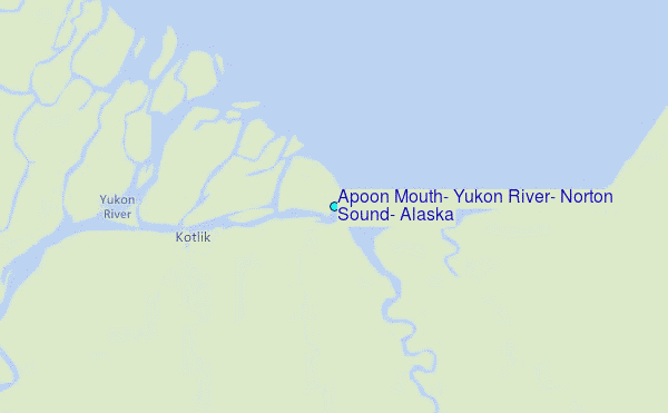
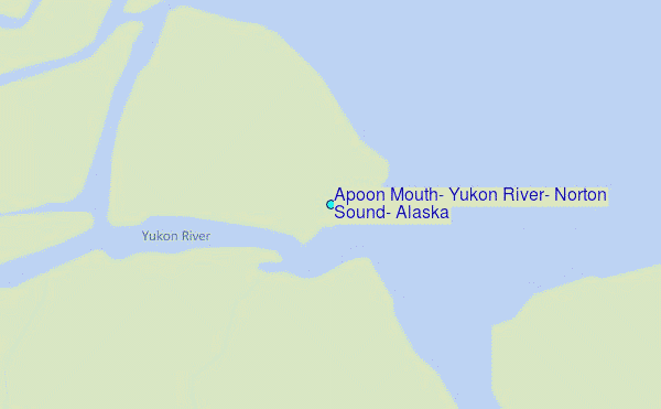
Choose Apoon Mouth, Yukon River, Norton Sound, Alaska Location Map Zoom:
| Contours: | Roads & Rivers: | Select a
tide station / surf break / city |
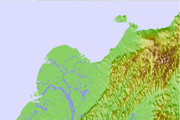
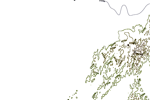
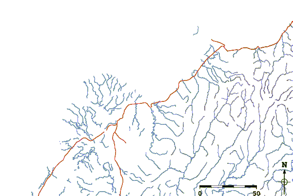
Use this relief map to navigate to tide stations, surf breaks and cities that are in the area of Apoon Mouth, Yukon River, Norton Sound, Alaska.
Other Nearby Locations' tide tables and tide charts to Apoon Mouth, Yukon River, Norton Sound, Alaska:
click location name for more details
 Surf breaks close to Apoon Mouth, Yukon River, Norton Sound, Alaska:
|
||
|---|---|---|
| Closest surf break | Bird Point (Tidal Bore) | 422 mi |
| Second closest surf break | Termination Point | 517 mi |
| Third closest surf break | Monashka Bay | 518 mi |
| Fourth closest surf break | Mill Bay | 520 mi |
| Fifth closest surf break | Fossil Beach Kodiak | 541 mi |


 Nearest
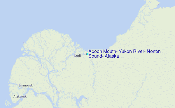