
| Distance / Altitude | Location | Report Date / Time | Live Weather | Wind | Gusts | Temp. | Visibility | Cloud |
|---|---|---|---|---|---|---|---|---|
| 6 km SSE / 410 m | Wide Awake Field Airport (Saint Helena) | 2026-07-09 17:50 local (2026/07/09 17:50 GMT) | - | moderate winds from the ESE (20 km/h at 120) | 26°C | 10.0 | few | |
| 532 km ENE / 3 m | BUOY-15006 (Marine) | 2026-07-09 19:00 local (2026/07/09 19:00 GMT) | moderate winds from the SE (26 km/h at 133) | 26°C | - | |||
| 538 km ESE / 3 m | BUOY-15001 (Marine) | 2026-07-09 19:00 local (2026/07/09 19:00 GMT) | moderate winds from the ESE (23 km/h at 119) | 25°C | - | |||
| 921 km NE / 3 m | SHIP3237 (Marine) | 2026-07-09 17:00 local (2026/07/09 17:00 GMT) | - (- km/h at -) | — | - | |||
| 919 km NE / 3 m | SHIP592 (Marine) | 2026-07-09 17:00 local (2026/07/09 17:00 GMT) | - (- km/h at -) | — | - | |||
| 919 km NE / 3 m | SHIP3 (Marine) | 2026-07-09 17:00 local (2026/07/09 17:00 GMT) | - (- km/h at -) | — | - | |||
| 919 km NE / 3 m | SHIP218 (Marine) | 2026-07-09 17:00 local (2026/07/09 17:00 GMT) | - (- km/h at -) | — | - | |||
| 919 km NE / 15 m | SHIP3685 (Marine) | 2026-07-09 17:00 local (2026/07/09 17:00 GMT) | - (- km/h at -) | — | - km | |||
| 919 km NE / 15 m | SHIP6920 (Marine) | 2026-07-09 17:00 local (2026/07/09 17:00 GMT) | - (- km/h at -) | — | - km | |||
| 919 km NE / 15 m | SHIP3963 (Marine) | 2026-07-09 17:00 local (2026/07/09 17:00 GMT) | - (- km/h at -) | — | - km |
| Contours: | Roads & Rivers: | Select a
tide station / surf break / city |
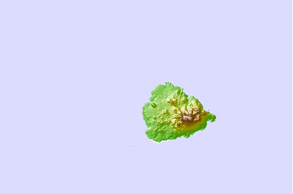
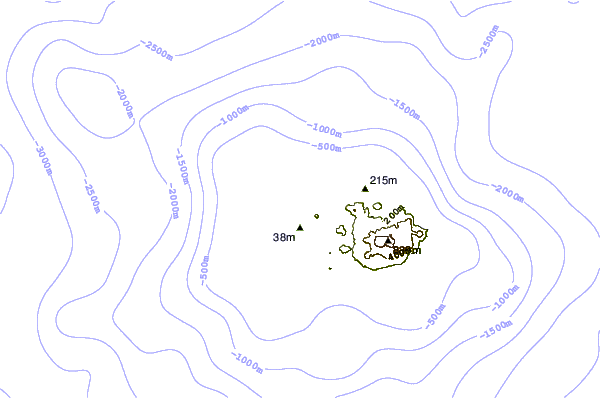
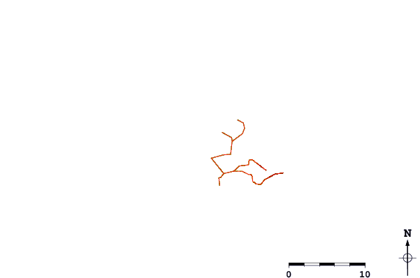
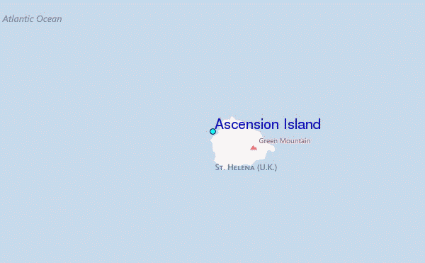
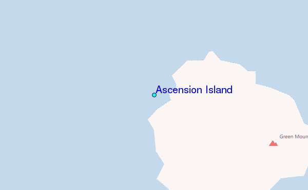
Use this relief map to navigate to tide stations, surf breaks and cities that are in the area of Ascension Island.
Other Nearby Locations' tide tables and tide charts to Ascension Island:
click location name for more details
 Surf breaks close to Ascension Island:
|
||
|---|---|---|
| Closest surf break | Tico's Point | 998 mi |
| Second closest surf break | Baie des Sirènes | 1011 mi |
| Third closest surf break | Kendeja Resort | 1011 mi |
| Fourth closest surf break | Silver Beach | 1011 mi |
| Fifth closest surf break | 6th Street | 1014 mi |


 Nearest