
| Distance / Altitude | Location | Report Date / Time | Live Weather | Wind | Gusts | Temp. | Visibility | Cloud |
|---|---|---|---|---|---|---|---|---|
| 42 km NE / 372 m | Zanzibar/Kisauni Airport (Tanzania) | 2026-07-09 22:00 local (2026/07/09 19:00 GMT) | - | light winds from the SE (9 km/h at 130) | 24°C | 10.0 | few | |
| 58 km SE / 376 m | Dar Es Salaam Airport (Tanzania) | 2026-07-09 22:00 local (2026/07/09 19:00 GMT) | - | light winds from the S.(Wind varies from 130 to 190 degs) (6 km/h at 170) | 23°C | 10.0 | few - - | |
| 134 km E / 15 m | ASCATB40E7S (Marine) | 2026-07-09 21:48 local (2026/07/09 18:48 GMT) | moderate winds from the SE (23 km/h at 131) | — | - km | |||
| 146 km SW / 365 m | Morogoro (Tanzania) | 2026-07-09 22:00 local (2026/07/09 19:00 GMT) | Dry and partly cloudy | calm (0 km/h at 0) | 20°C | 10.0 | few - - | |
| 149 km E / 15 m | ASCATC40E7S (Marine) | 2026-07-09 22:14 local (2026/07/09 19:14 GMT) | moderate winds from the SE (24 km/h at 136) | — | - km | |||
| 185 km E / 15 m | ASCATB41E7S (Marine) | 2026-07-09 21:48 local (2026/07/09 18:48 GMT) | moderate winds from the SE (23 km/h at 139) | — | - km | |||
| 198 km SE / 15 m | ASCATB40E8S (Marine) | 2026-07-09 21:47 local (2026/07/09 18:47 GMT) | moderate winds from the ESE (24 km/h at 117) | — | - km | |||
| 199 km ENE / 15 m | ASCATB40E6S (Marine) | 2026-07-09 21:48 local (2026/07/09 18:48 GMT) | moderate winds from the SSE (27 km/h at 148) | — | - km | |||
| 201 km E / 15 m | ASCATC41E7S (Marine) | 2026-07-09 22:14 local (2026/07/09 19:14 GMT) | moderate winds from the SE (25 km/h at 143) | — | - km | |||
| 202 km ENE / 15 m | ASCATC40E6S (Marine) | 2026-07-09 22:14 local (2026/07/09 19:14 GMT) | moderate winds from the SE (27 km/h at 145) | — | - km |
| Contours: | Roads & Rivers: | Select a
tide station / surf break / city |
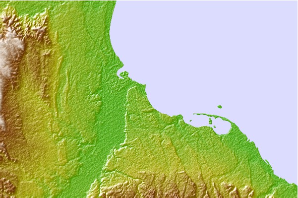
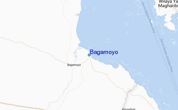
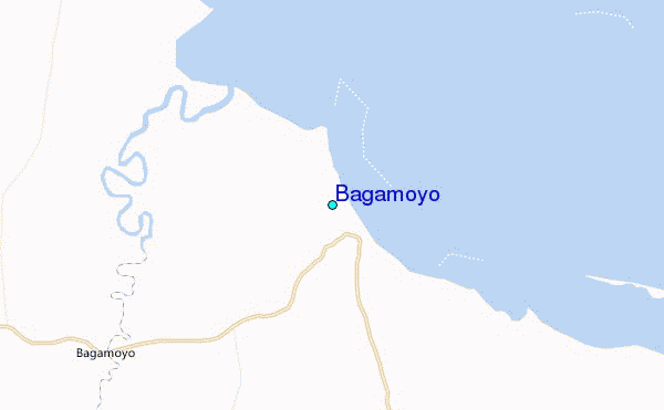
Use this relief map to navigate to tide stations, surf breaks and cities that are in the area of Bagamoyo.
Other Nearby Locations' tide tables and tide charts to Bagamoyo:
click location name for more details
 Surf breaks close to Bagamoyo:
|
||
|---|---|---|
| Closest surf break | Jam's Right | 32 mi |
| Second closest surf break | Sea Cliff | 34 mi |
| Third closest surf break | Oyster Bay Beach - Coco Beach | 35 mi |
| Fourth closest surf break | Nungwi Reefs | 57 mi |
| Fifth closest surf break | Mombasa Channel | 171 mi |


 Nearest
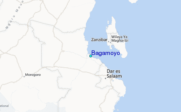