
| Distance / Altitude | Location | Report Date / Time | Live Weather | Wind | Gusts | Temp. | Visibility | Cloud |
|---|---|---|---|---|---|---|---|---|
| 174 km NNE / 135 m | Loreto Airport (Mexico) | 2026-07-09 15:48 local (2026/07/09 22:48 GMT) | - | moderate winds from the SE (28 km/h at 140) | 33°C | 16 | few | |
| 186 km ESE / 25 m | La Paz (Mexico) | 2026-07-09 15:13 local (2026/07/09 22:13 GMT) | dry | - (- km/h at ) | — | - | - - 0 | |
| 191 km ESE / 273 m | La Paz International Airport (Mexico) | 2026-07-09 15:40 local (2026/07/09 22:40 GMT) | - | moderate winds from the SW (20 km/h at 220) | 36°C | 16 | few | |
| 193 km ESE / 15 m | SHIP5941 (Marine) | 2026-07-09 15:00 local (2026/07/09 22:00 GMT) | - (- km/h at -) | — | - km | |||
| 194 km ESE / 18 m | LA Paz- Bcs (Mexico) | 2026-07-09 15:00 local (2026/07/09 22:00 GMT) | no report | wind obs. (18 kph from 170 degs) was rejected (- km/h at -) | 27°C | 2000 | - | |
| 194 km ESE / 15 m | SHIP6320 (Marine) | 2026-07-09 14:00 local (2026/07/09 21:00 GMT) | - (- km/h at -) | — | - km | |||
| 194 km ESE / 15 m | SHIP4007 (Marine) | 2026-07-09 15:00 local (2026/07/09 22:00 GMT) | - (- km/h at -) | — | - km | |||
| 194 km ESE / 15 m | SHIP4420 (Marine) | 2026-07-09 14:00 local (2026/07/09 21:00 GMT) | - (- km/h at -) | — | - km | |||
| 194 km ESE / 18 m | LA Paz- Bcs (Mexico) | 2026-07-09 15:00 local (2026/07/09 22:00 GMT) | no report | wind obs. (18 kph from 170 degs) was rejected (- km/h at -) | 27°C | 2000 | - | |
| 194 km ESE / 3 m | SHIP6652 (Marine) | 2026-07-09 16:00 local (2026/07/09 23:00 GMT) | - (- km/h at -) | 36°C | - |
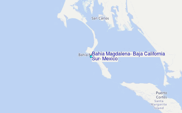
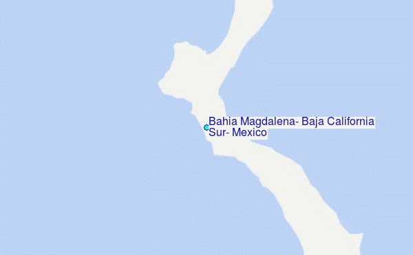
Choose Bahia Magdalena, Baja California Sur, Mexico Location Map Zoom:
| Contours: | Roads & Rivers: | Select a
tide station / surf break / city |
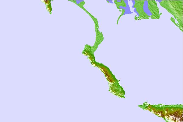
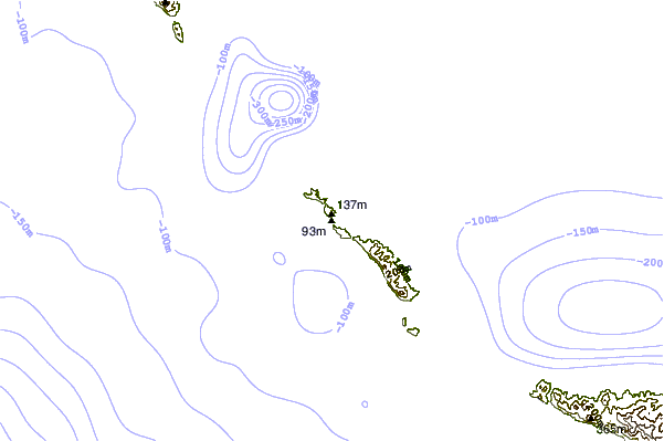
Use this relief map to navigate to tide stations, surf breaks and cities that are in the area of Bahia Magdalena, Baja California Sur, Mexico.
Other Nearby Locations' tide tables and tide charts to Bahia Magdalena, Baja California Sur, Mexico:
click location name for more details
 Surf breaks close to Bahia Magdalena, Baja California Sur, Mexico:
|
||
|---|---|---|
| Closest surf break | Punta Hughes | 12 mi |
| Second closest surf break | San Jorge | 69 mi |
| Third closest surf break | Punta Conejo | 82 mi |
| Fourth closest surf break | Punta Marquez | 92 mi |
| Fifth closest surf break | Las Barrancas | 93 mi |


 Nearest
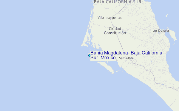