
| Distance / Altitude | Location | Report Date / Time | Live Weather | Wind | Gusts | Temp. | Visibility | Cloud |
|---|---|---|---|---|---|---|---|---|
| 78 km WSW / 208 m | Holguin Airport (Cuba) | 2026-07-09 17:50 local (2026/07/09 21:50 GMT) | - | fresh winds from the ENE.(Wind varies from 040 to 100 degs) (33 km/h at 70) | 32°C | 10.0 | few | |
| 95 km S / 209 m | Santiago De Cuba Airport (Cuba) | 2026-07-09 17:50 local (2026/07/09 21:50 GMT) | - | fresh winds from the ESE (35 km/h at 120) | 30°C | 9.0 | few | |
| 105 km ESE / 500 m | lightning 16km WNW of Baracoa (Cuba) | 2026-07-09 19:49 local (2026/07/09 23:49 GMT) | Thunderstorm | (- km/h at -) | — | |||
| 106 km SSE / 203 m | Guantanamo Bay Airport (Cuba) | 2026-07-09 17:51 local (2026/07/09 21:51 GMT) | - | moderate winds from the E (28 km/h at 80) | 33°C | 16 | few few | |
| 172 km SW / 18 m | lightning 4km W of Manzanillo (Cuba) | 2026-07-09 18:51 local (2026/07/09 22:51 GMT) | Thunderstorm | (- km/h at -) | — | |||
| 203 km WSW / 0 m | lightning 32km NW of Campechuela (Cuba) | 2026-07-09 19:20 local (2026/07/09 23:20 GMT) | Thunderstorm | (- km/h at -) | — | |||
| 212 km WSW / 0 m | lightning 38km SSW of Colombia (Cuba) | 2026-07-09 19:19 local (2026/07/09 23:19 GMT) | Thunderstorm | (- km/h at -) | — | |||
| 222 km WSW / 0 m | lightning 36km NW of Media Luna (Cuba) | 2026-07-09 19:47 local (2026/07/09 23:47 GMT) | Thunderstorm | (- km/h at -) | — | |||
| 245 km WSW / 0 m | lightning 33km SE of Santa Cruz del Sur (Cuba) | 2026-07-09 19:47 local (2026/07/09 23:47 GMT) | Thunderstorm | (- km/h at -) | — | |||
| 247 km W / 212 m | Camaguey/Ignacio Agramonte Internationa Airport (Cuba) | 2026-07-09 17:50 local (2026/07/09 21:50 GMT) | Dry and partly cloudy | moderate winds from the E (24 km/h at 80) | 30°C | 9.0 | few broken |
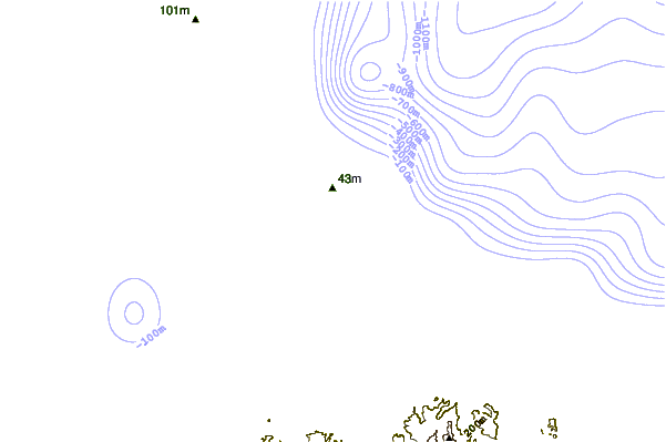
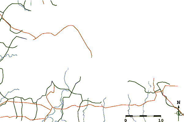
| Contours: | Roads & Rivers: | Select a
tide station / surf break / city |
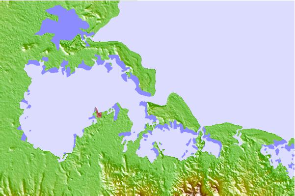
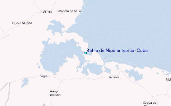
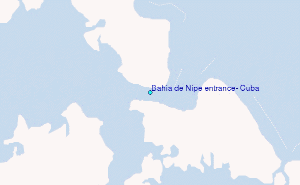
Use this relief map to navigate to tide stations, surf breaks and cities that are in the area of Bahía de Nipe entrance, Cuba.
Other Nearby Locations' tide tables and tide charts to Bahia de Nipe entrance, Cuba:
click location name for more details
 Surf breaks close to Bahia de Nipe entrance, Cuba:
|
||
|---|---|---|
| Closest surf break | Navy Island | 188 mi |
| Second closest surf break | Winnifred Beach | 188 mi |
| Third closest surf break | Boston Bay | 190 mi |
| Fourth closest surf break | Peenie Wally | 190 mi |
| Fifth closest surf break | Long Bay | 192 mi |


 Nearest
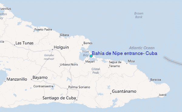