
| Distance / Altitude | Location | Report Date / Time | Live Weather | Wind | Gusts | Temp. | Visibility | Cloud |
|---|---|---|---|---|---|---|---|---|
| 11 km ENE / 50 m | Bella Vista wx (Dominican Republic) | 2026-07-09 15:02 local (2026/07/09 19:02 GMT) | dry | calm (2 km/h at 17) | 29°C | - | - - 0 | |
| 17 km NNE / 30 m | La Isabela International Airport (Dominican republic) | 2026-07-09 14:00 local (2026/07/09 18:00 GMT) | Thunderstorm light rain thunderstorm | calm (0 km/h at 0) | 26°C | 7.0 | few broken broken | |
| 23 km ENE / 41 m | Ensanche Savica de Mendoza wx (Dominican Republic) | 2026-07-09 15:12 local (2026/07/09 19:12 GMT) | dry | calm (0 km/h at 57) | 29°C | - | - - 0 | |
| 34 km WNW / 1208 m | lightning 10km WSW of Villa Altagracia (Dominican Republic) | 2026-07-09 13:00 local (2026/07/09 17:00 GMT) | Thunderstorm | (- km/h at -) | — | |||
| 39 km E / 212 m | Punta Caucedo/Las Americas Airport (Dominican Republic) | 2026-07-09 14:00 local (2026/07/09 18:00 GMT) | Shower - in the vicinity | light winds from the ESE (19 km/h at 110) | 32°C | 8.0 | few scattered broken | |
| 48 km WNW / 995 m | lightning 9km SSW of Juan Adrian (Dominican Republic) | 2026-07-09 13:19 local (2026/07/09 17:19 GMT) | Thunderstorm | (- km/h at -) | — | |||
| 69 km SW / 0 m | lightning 17km SSW of Sabana Buey (Dominican Republic) | 2026-07-09 15:17 local (2026/07/09 19:17 GMT) | Thunderstorm | (- km/h at -) | — | |||
| 73 km WNW / 707 m | lightning 14km WSW of Bonao (Dominican Republic) | 2026-07-09 13:47 local (2026/07/09 17:47 GMT) | Thunderstorm | (- km/h at -) | — | |||
| 75 km WNW / 951 m | lightning 15km E of Tireo Arriba (Dominican Republic) | 2026-07-09 14:48 local (2026/07/09 18:48 GMT) | Thunderstorm | (- km/h at -) | — | |||
| 84 km NE / 266 m | lightning 12km NNE of El Puerto (Dominican Republic) | 2026-07-09 14:16 local (2026/07/09 18:16 GMT) | Thunderstorm | (- km/h at -) | — |
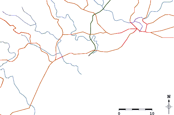
| Contours: | Roads & Rivers: | Select a
tide station / surf break / city |
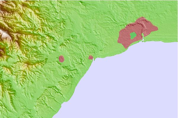
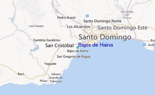
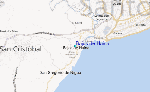
Use this relief map to navigate to tide stations, surf breaks and cities that are in the area of Bajos de Haina.
Other Nearby Locations' tide tables and tide charts to Bajos de Haina:
click location name for more details
 Surf breaks close to Bajos de Haina:
|
||
|---|---|---|
| Closest surf break | El Chinchorro (Red Beach) | 1 mi |
| Second closest surf break | Red Beach | 3 mi |
| Third closest surf break | Guibia | 7 mi |
| Fourth closest surf break | Najayo | 12 mi |
| Fifth closest surf break | Los Patos | 19 mi |


 Nearest