
| Distance / Altitude | Location | Report Date / Time | Live Weather | Wind | Gusts | Temp. | Visibility | Cloud |
|---|---|---|---|---|---|---|---|---|
| 21 km SSW / 162 m | Banjul/Yundum International Airport (Gambia) | 2026-07-09 18:00 local (2026/07/09 18:00 GMT) | Dry and partly cloudy | light winds from the WSW (9 km/h at 250) | 30°C | 10.0 | broken scattered | |
| 97 km NE / 7 m | Kaolack Airport (Senegal) | 2026-07-09 18:00 local (2026/07/09 18:00 GMT) | - | moderate winds from the W (26 km/h at 280) | — | 0.0 | ||
| 112 km SSE / 482 m | Ziguinchor (Senegal) | 2026-07-09 18:00 local (2026/07/09 18:00 GMT) | Dry and partly cloudy | light winds from the NW (15 km/h at 320) | 33°C | 10.0 | broken | |
| 112 km SSE / 482 m | Ziguinchor Airport (Senegal) | 2026-07-09 18:00 local (2026/07/09 18:00 GMT) | Dry and partly cloudy | light winds from the NW (15 km/h at 320) | 33°C | 10.0 | broken | |
| 119 km S / 407 m | Cape Skiring Airport (Senegal) | 2026-07-09 18:00 local (2026/07/09 18:00 GMT) | Dry and partly cloudy | light winds from the NW.(Wind varies from 270 to 360 degs) (15 km/h at 320) | 31°C | 10.0 | broken | |
| 138 km NW / 89 m | Blaise Diagne International Airport (Senegal) | 2026-07-09 18:30 local (2026/07/09 18:30 GMT) | Dry and partly cloudy | light winds from the W.(Wind varies from 240 to 300 degs) (19 km/h at 260) | 29°C | 10.0 | few - - | |
| 139 km NNE / 9 m | Diourbel (Senegal) | 2026-07-09 18:00 local (2026/07/09 18:00 GMT) | - | light winds from the NW (15 km/h at 320) | — | 0.0 | few - - | |
| 163 km NW / 219 m | Dakar/Yoff-Léopold Sédar Senghor International Airport (Senegal) | 2026-07-09 18:00 local (2026/07/09 18:00 GMT) | Dry and partly cloudy | light winds from the WSW.(Wind varies from 210 to 300 degs) (11 km/h at 250) | 28°C | 10.0 | broken | |
| 198 km ESE / 10 m | Kolda Airport (Senegal) | 2026-07-09 18:00 local (2026/07/09 18:00 GMT) | Dry and partly cloudy | light winds from the SW (11 km/h at 220) | 35°C | 10.0 | scattered | |
| 211 km SSE / 397 m | Bissau Airport (Guinea-bissau) | 2026-07-09 18:00 local (2026/07/09 18:00 GMT) | Thunderstorm - | light winds from the W.(Wind varies from 210 to 290 degs) (11 km/h at 260) | 32°C | 9.0 | few few - |
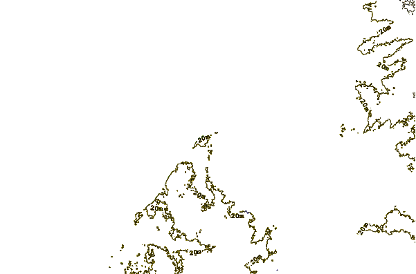
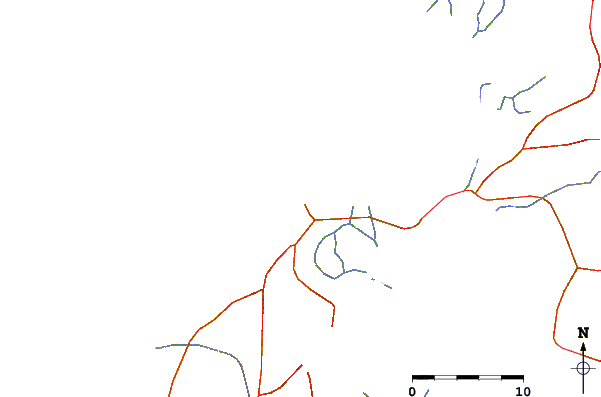
| Contours: | Roads & Rivers: | Select a
tide station / surf break / city |
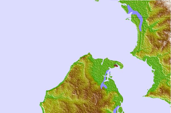
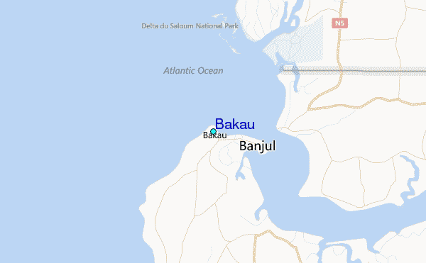
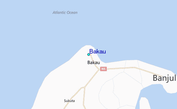
Use this relief map to navigate to tide stations, surf breaks and cities that are in the area of Bakau.
Other Nearby Locations' tide tables and tide charts to Bakau:
click location name for more details
 Surf breaks close to Bakau:
|
||
|---|---|---|
| Closest surf break | Senegambia Beach | 4 mi |
| Second closest surf break | Kololi Kotu Kombo | 6 mi |
| Third closest surf break | Baobab (Somone) | 73 mi |
| Fourth closest surf break | Cap Skirring | 78 mi |
| Fifth closest surf break | Piere de Lisse | 81 mi |


 Nearest
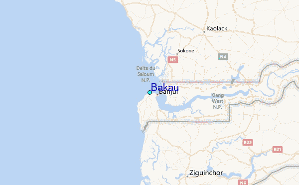