
| Distance / Altitude | Location | Report Date / Time | Live Weather | Wind | Gusts | Temp. | Visibility | Cloud |
|---|---|---|---|---|---|---|---|---|
| 63 km S / 52 m | Machala Larrea Airport (Ecuador) | 2026-07-09 13:00 local (2026/07/09 18:00 GMT) | Dry and partly cloudy | wind obs. (7 kph from 20 degs) was rejected (- km/h at -) | 31°C | 10.0 | few broken - | |
| 84 km N / 211 m | Guayaquil/José Joaquín de Olmedo International Airport (Ecuador) | 2026-07-09 13:00 local (2026/07/09 18:00 GMT) | Dry and partly cloudy | light winds from the SSE (15 km/h at 150) | 30°C | 10.0 | scattered | |
| 94 km E / 2531 m | Cuenca/Mariscal Airport (Ecuador) | 2026-07-09 13:00 local (2026/07/09 18:00 GMT) | - | wind obs. (17 kph from 50 degs) was rejected (- km/h at -) | — | 10.0 | overcast - - | |
| 97 km SSW / 158 m | Tumbes Pedro Canga Rodríguez Airport (Peru) | 2026-07-09 13:00 local (2026/07/09 18:00 GMT) | Dry and partly cloudy | light winds from the NW (11 km/h at 310) | 30°C | 10.0 | broken | |
| 131 km SSE / 1237 m | Ciudad de Catamayo Airport (Ecuador) | 2026-07-09 13:00 local (2026/07/09 18:00 GMT) | - | light winds from the ENE (17 km/h at 70) | 29°C | 10.0 | few - - | |
| 150 km W / 8 m | Salinas/Gen Ulpi Airport (Ecuador) | 2026-07-09 13:00 local (2026/07/09 18:00 GMT) | Dry and partly cloudy | light winds from the SSW (19 km/h at 210) | 28°C | 10.0 | few scattered - | |
| 190 km NE / 2796 m | Riobamba/Chimborazo Airport (Ecuador) | 2026-07-09 13:00 local (2026/07/09 18:00 GMT) | - | wind obs. (19 kph from 50 degs) was rejected (- km/h at -) | — | 10.0 | broken - - | |
| 199 km ENE / 1052 m | Macas/Edmundo Carvajal Airportl (Ecuador) | 2026-07-09 13:00 local (2026/07/09 18:00 GMT) | Dry and partly cloudy | wind obs. (7 kph from 110 degs) was rejected (- km/h at -) | 25°C | 10.0 | scattered broken | |
| 212 km N / 10 m | Gen Rivadeneira Airport (Ecuador) | 2026-07-09 13:00 local (2026/07/09 18:00 GMT) | Dry and partly cloudy | wind obs. (15 kph from 300 degs) was rejected (- km/h at -) | 31°C | 10.0 | scattered | |
| 234 km NE / 2520 m | Ambato Aeropuerto (Ecuador) | 2026-07-09 13:00 local (2026/07/09 18:00 GMT) | Dry and partly cloudy | light winds from the SSE (7 km/h at 160) | 18°C | 10.0 | broken - - |
| Contours: | Roads & Rivers: | Select a
tide station / surf break / city |
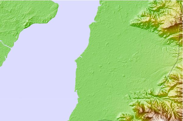
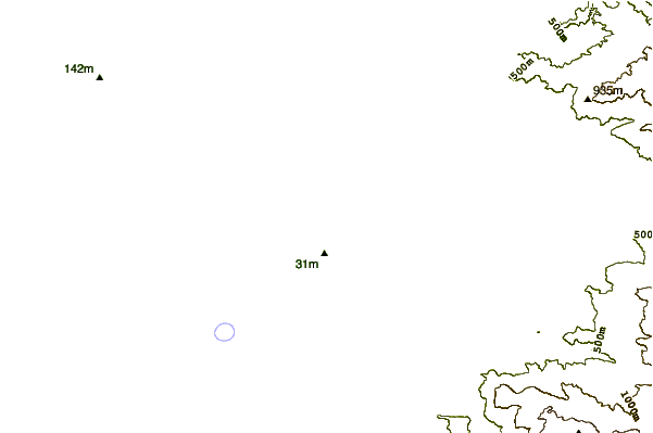
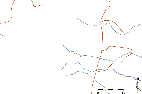
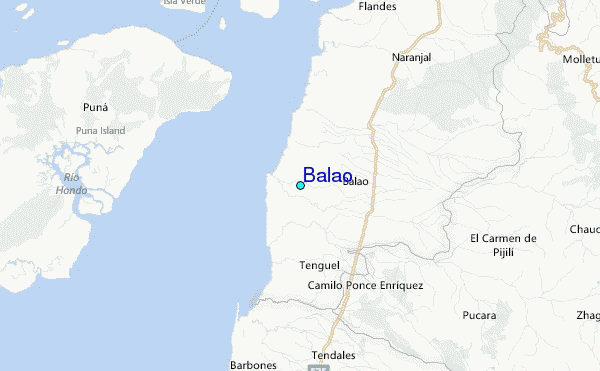
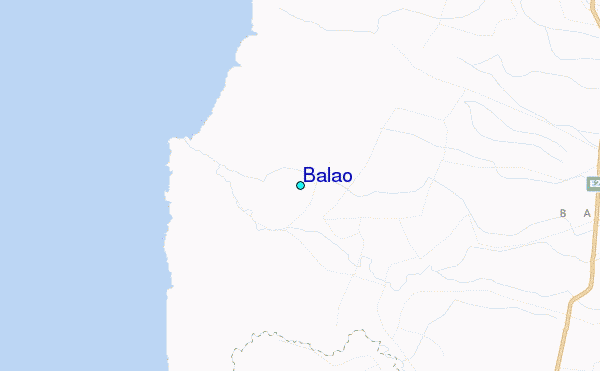
Use this relief map to navigate to tide stations, surf breaks and cities that are in the area of Balao.
Other Nearby Locations' tide tables and tide charts to Balao:
click location name for more details
 Surf breaks close to Balao:
|
||
|---|---|---|
| Closest surf break | La Puntilla | 42 mi |
| Second closest surf break | Chabela (Playas de villamil) | 45 mi |
| Third closest surf break | Sharkbay | 45 mi |
| Fourth closest surf break | Olas Verdes | 45 mi |
| Fifth closest surf break | El Pelado | 50 mi |


 Nearest
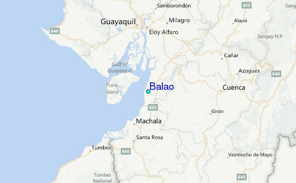