
| Distance / Altitude | Location | Report Date / Time | Live Weather | Wind | Gusts | Temp. | Visibility | Cloud |
|---|---|---|---|---|---|---|---|---|
| 85 km S / 212 m | Maasin (Philippines) | 2026-07-10 08:00 local (2026/07/10 00:00 GMT) | distant precipitation but not falling at station | - (- km/h at -) | 29°C | 22 | - | |
| 101 km N / 96 m | Catbalogan-Samar (Philippines) | 2026-07-10 08:00 local (2026/07/10 00:00 GMT) | state of sky unchanged | calm (4 km/h at 140) | 29°C | 22 | - | |
| 113 km E / 214 m | Guiuan (Samar Island) (Philippines) | 2026-07-10 08:00 local (2026/07/10 00:00 GMT) | distant precipitation but not falling at station | - (- km/h at -) | 28°C | 18 | - | |
| 115 km NE / 95 m | Borongan (Philippines) | 2026-07-10 08:00 local (2026/07/10 00:00 GMT) | haze | calm (4 km/h at 40) | 29°C | 18 | - | |
| 148 km SE / 219 m | Surigao (Philippines) | 2026-07-10 08:00 local (2026/07/10 00:00 GMT) | haze | calm (4 km/h at 270) | 29°C | 25 | - | |
| 160 km W / 0 m | lightning 12km ENE of Granada (Philippines) | 2026-07-10 08:15 local (2026/07/10 00:15 GMT) | Thunderstorm | (- km/h at -) | — | |||
| 200 km SE / 20 m | BRAVO SIARGAO (Philippines) | 2026-07-10 08:00 local (2026/07/10 00:00 GMT) | - | moderate winds from the S (20 km/h at 180) | 30°C | - | - - 0 | |
| 202 km WNW / 35 m | Masbate (Philippines) | 2026-07-10 08:00 local (2026/07/10 00:00 GMT) | state of sky unchanged | wind obs. (7 kph from 110 degs) was rejected (- km/h at -) | 30°C | 20 | - | |
| 202 km WNW / 210 m | Macatan Airport (Philippines) | 2026-07-10 08:00 local (2026/07/10 00:00 GMT) | intermittent light rain | light winds from the WSW (14 km/h at 240) | 28°C | 9 | few scattered broken | |
| 214 km SSE / 36 m | Del Pilar wx (Philippines) | 2026-07-10 08:13 local (2026/07/10 00:13 GMT) | dry | calm (2 km/h at 132) | 29°C | - | - - 0 |
| Contours: | Roads & Rivers: | Select a
tide station / surf break / city |
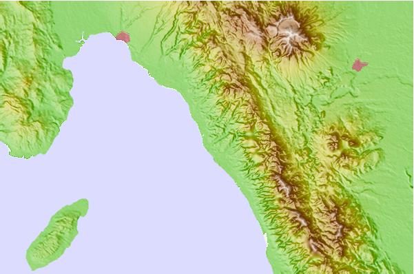
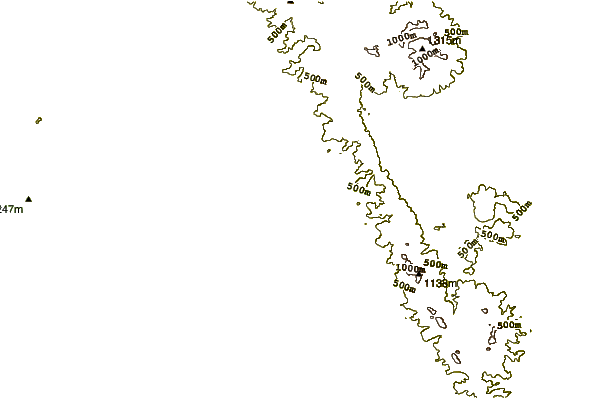
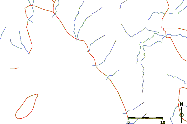
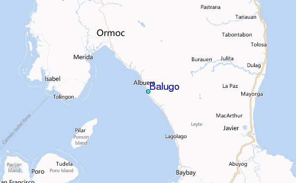
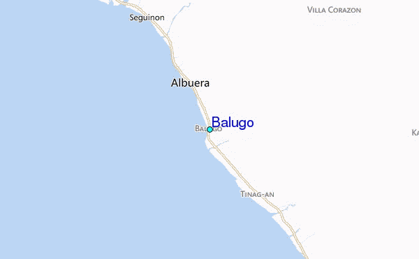
Use this relief map to navigate to tide stations, surf breaks and cities that are in the area of Balugo.
Other Nearby Locations' tide tables and tide charts to Balugo:
click location name for more details
 Surf breaks close to Balugo:
|
||
|---|---|---|
| Closest surf break | Llorente | 67 mi |
| Second closest surf break | Guitagican Beach | 70 mi |
| Third closest surf break | Boulevard | 70 mi |
| Fourth closest surf break | Pirates Cove | 70 mi |
| Fifth closest surf break | Santa Monica | 72 mi |


 Nearest
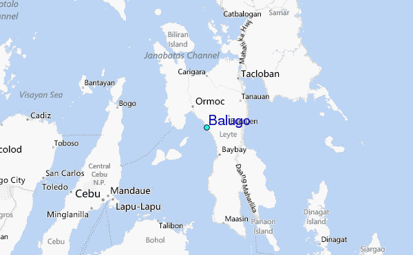