
| Distance / Altitude | Location | Report Date / Time | Live Weather | Wind | Gusts | Temp. | Visibility | Cloud |
|---|---|---|---|---|---|---|---|---|
| 6 km ENE / 2 m | Ban Tha Khreng wx (Thailand) | 2026-07-10 02:00 local (2026/07/09 19:00 GMT) | - | calm (0 km/h at 0) | 31°C | - | - - 0 | |
| 8 km ENE / 3 m | Phuket (Thailand) | 2026-07-10 02:00 local (2026/07/09 19:00 GMT) | no report | light winds from the W (11 km/h at 280) | 29°C | - | - | |
| 30 km N / 207 m | Phuket International Airport (Thailand) | 2026-07-10 01:30 local (2026/07/09 18:30 GMT) | - | light winds from the W (15 km/h at 280) | 28°C | 10.0 | few | |
| 33 km N / 9 m | Phuket Airport (Thailand) | 2026-07-10 02:00 local (2026/07/09 19:00 GMT) | no report | light winds from the WNW (9 km/h at 300) | 29°C | - | - | |
| 76 km ENE / 324 m | Krabi Airport (Thailand) | 2026-07-10 01:01 local (2026/07/09 18:01 GMT) | Dry and partly cloudy | calm (2 km/h at 1) | 25°C | 10.0 | few scattered broken | |
| 86 km ESE / 7 m | KO Lanta (Thailand) | 2026-07-10 02:00 local (2026/07/09 19:00 GMT) | no report | light winds from the WNW (17 km/h at 300) | 29°C | - | - - - | |
| 93 km N / 8 m | Takya Pa (Thailand) | 2026-07-10 02:00 local (2026/07/09 19:00 GMT) | no report | wind obs. (6 kph from 310 degs) was rejected (- km/h at -) | 28°C | - | - - - | |
| 129 km NE / 14 m | Phrasang (Thailand) | 2026-07-10 02:00 local (2026/07/09 19:00 GMT) | no report | calm (4 km/h at 170) | 29°C | - | - | |
| 144 km ENE / 30 m | Chawang (Thailand) | 2026-07-10 02:00 local (2026/07/09 19:00 GMT) | no report | calm (0 km/h at 230) | 27°C | - | - | |
| 145 km ESE / 1 m | Trang Airport (Thailand) | 2026-07-10 02:00 local (2026/07/09 19:00 GMT) | no report | wind obs. (15 kph from 300 degs) was rejected (- km/h at -) | 31°C | - | - - - |
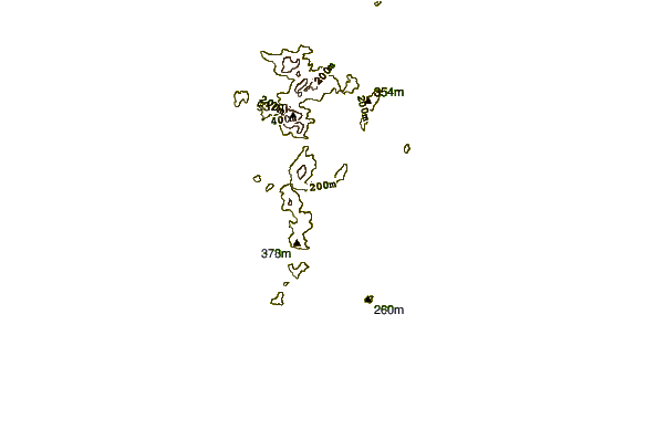
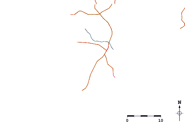
| Contours: | Roads & Rivers: | Select a
tide station / surf break / city |
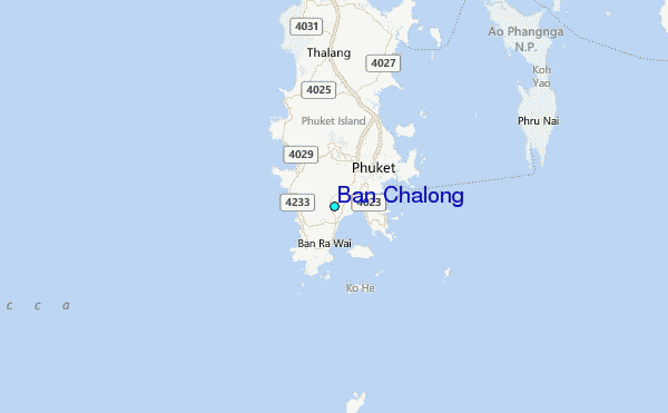
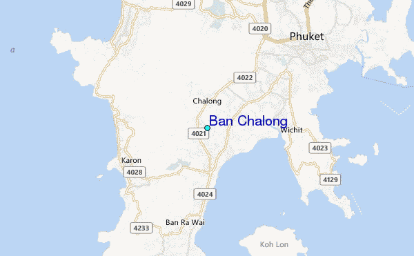
Use this relief map to navigate to tide stations, surf breaks and cities that are in the area of Ban Chalong.
Other Nearby Locations' tide tables and tide charts to Ban Chalong:
click location name for more details
 Surf breaks close to Ban Chalong:
|
||
|---|---|---|
| Closest surf break | Karon Beach | 3 mi |
| Second closest surf break | Kata Beach | 3 mi |
| Third closest surf break | Kata Noi | 4 mi |
| Fourth closest surf break | Relax Beach | 4 mi |
| Fifth closest surf break | Patong Beach | 5 mi |


 Nearest
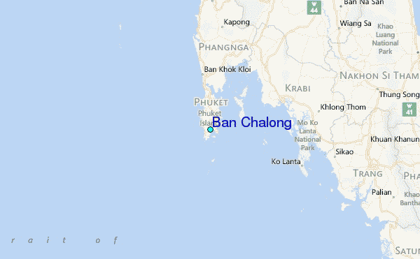