
| Distance / Altitude | Location | Report Date / Time | Live Weather | Wind | Gusts | Temp. | Visibility | Cloud |
|---|---|---|---|---|---|---|---|---|
| 104 km S / 1440 m | Bkerkacha (Lebanon) | 2026-07-09 21:20 local (2026/07/09 18:20 GMT) | dry | calm (3 km/h at 144) | 16°C | - | - - 0 | |
| 135 km NNE / 71 m | Hatay Havalimanı (Turkey) | 2026-07-09 22:00 local (2026/07/09 19:00 GMT) | no report | fresh winds from the SSW (35 km/h at 210) | 34°C | 20 | - | |
| 157 km N / 119 m | Iskenderun (Turkey) | 2026-07-09 21:00 local (2026/07/09 18:00 GMT) | no report | wind obs. (11 kph from 260 degs) was rejected (- km/h at -) | 32°C | 20 | - | |
| 158 km NE / 706 m | Aleppo Airport (Syria) | 2026-07-09 21:00 local (2026/07/09 18:00 GMT) | - | moderate winds from the WNW (26 km/h at 290) | — | 0.0 | ||
| 161 km SW / 15 m | SHIP7606 (Marine) | 2026-07-09 20:00 local (2026/07/09 17:00 GMT) | moderate winds from the SW (25.92 km/h at 220) | 25°C | 17.7 km | |||
| 161 km SW / 3 m | SHIP471 (Marine) | 2026-07-09 20:00 local (2026/07/09 17:00 GMT) | moderate winds from the SW (26 km/h at 220) | 27°C | 20.4 | |||
| 161 km SW / 15 m | SHIP3851 (Marine) | 2026-07-09 20:00 local (2026/07/09 17:00 GMT) | moderate winds from the SW (25.92 km/h at 220) | 25°C | 17.7 km | |||
| 161 km SW / 3 m | SHIP641 (Marine) | 2026-07-09 20:00 local (2026/07/09 17:00 GMT) | moderate winds from the SW (26 km/h at 220) | 27°C | 20.4 | |||
| 161 km SW / 3 m | SHIP50 (Marine) | 2026-07-09 20:00 local (2026/07/09 17:00 GMT) | moderate winds from the SW (26 km/h at 220) | 27°C | 20.4 | |||
| 161 km SW / 15 m | SHIP583 (Marine) | 2026-07-09 20:00 local (2026/07/09 17:00 GMT) | moderate winds from the SW (25.92 km/h at 220) | 25°C | 17.7 km |
| Contours: | Roads & Rivers: | Select a
tide station / surf break / city |
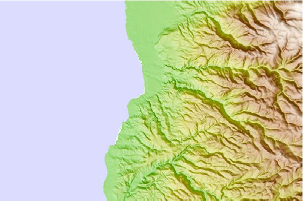
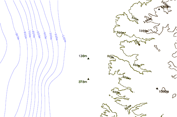
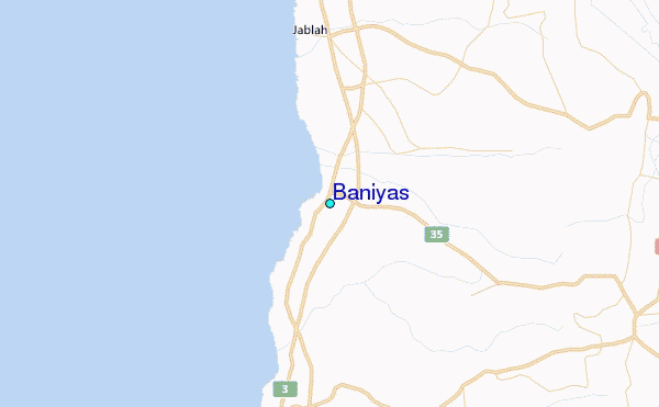
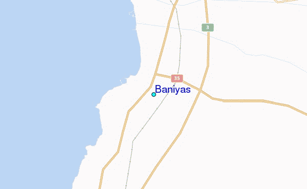
Use this relief map to navigate to tide stations, surf breaks and cities that are in the area of Baniyas.
Other Nearby Locations' tide tables and tide charts to Baniyas:
click location name for more details
 Surf breaks close to Baniyas:
|
||
|---|---|---|
| Closest surf break | Sandy Beach - Chekka | 62 mi |
| Second closest surf break | Batroun or Colonel | 67 mi |
| Third closest surf break | Tam Tam | 76 mi |
| Fourth closest surf break | Nahr Brahim | 80 mi |
| Fifth closest surf break | Phil and Did (Akif's reef) | 109 mi |


 Nearest
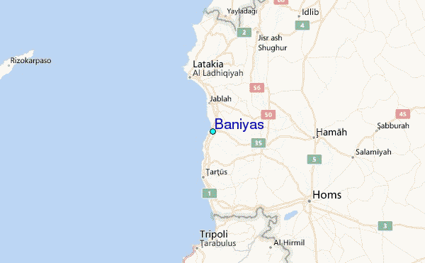