
| Distance / Altitude | Location | Report Date / Time | Live Weather | Wind | Gusts | Temp. | Visibility | Cloud |
|---|---|---|---|---|---|---|---|---|
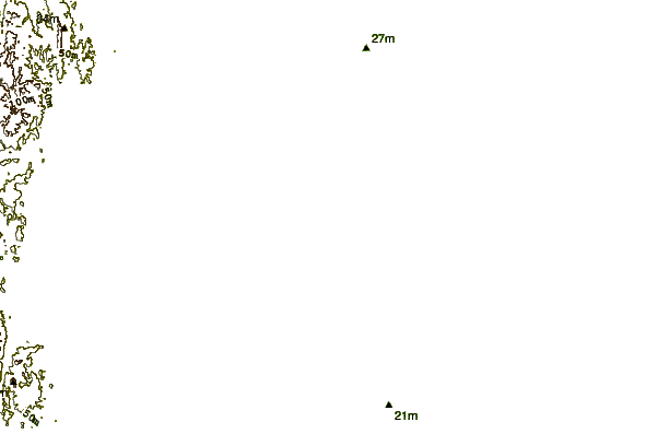
| 3 km SSW / 10 m | Pathein Bassein (Myanmar) | 2026-07-10 01:30 local (2026/07/09 19:00 GMT) | clouds developing | calm (4 km/h at 220) | 30°C | 7 | - - - | |
| 91 km NW / 1 m | Gwa (Myanmar) | 2026-07-10 01:30 local (2026/07/09 19:00 GMT) | intermittent light drizzle | - (- km/h at -) | 27°C | 6 | - | |
| 93 km E / 5 m | Maubin (Myanmar) | 2026-07-10 01:30 local (2026/07/09 19:00 GMT) | rain | calm (4 km/h at 230) | 28°C | 5 | - | |
| 110 km ESE / 2 m | Phyapon (Myanmar) | 2026-07-10 01:30 local (2026/07/09 19:00 GMT) | continuous light rain | calm (4 km/h at 270) | 28°C | 7 | - | |
| 119 km NE / 26 m | Hinthada (Myanmar) | 2026-07-10 01:30 local (2026/07/09 19:00 GMT) | rain | calm (4 km/h at 230) | 27°C | 8 | - | |
| 143 km E / 345 m | Yangon International Airport- Myanmar (Viet Nam) | 2026-07-10 01:00 local (2026/07/09 18:30 GMT) | Dry and cloudy | calm (4 km/h at 250) | 26°C | 6.0 | broken few overcast | |
| 146 km E / 20 m | Yangon (Myanmar) | 2026-07-10 01:30 local (2026/07/09 19:00 GMT) | light to moderate thunderstorm | calm (2 km/h at 220) | 27°C | 6 | - | |
| 150 km E / 29 m | Mingaladon (Myanmar) | 2026-07-10 01:30 local (2026/07/09 19:00 GMT) | light to moderate thunderstorm | calm (4 km/h at 180) | 26°C | 5 | - | |
| 192 km NW / 11 m | Thandwe (Myanmar) | 2026-07-10 01:30 local (2026/07/09 19:00 GMT) | intermittent light drizzle | calm (4 km/h at 130) | 27°C | 8 | - | |
| 193 km ENE / 15 m | Bago (Myanmar) | 2026-07-10 01:30 local (2026/07/09 19:00 GMT) | continuous moderate drizzle | light winds from the SW (6 km/h at 230) | 27°C | 8 | - |
| Contours: | Roads & Rivers: | Select a
tide station / surf break / city |
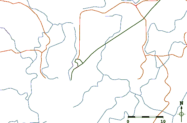
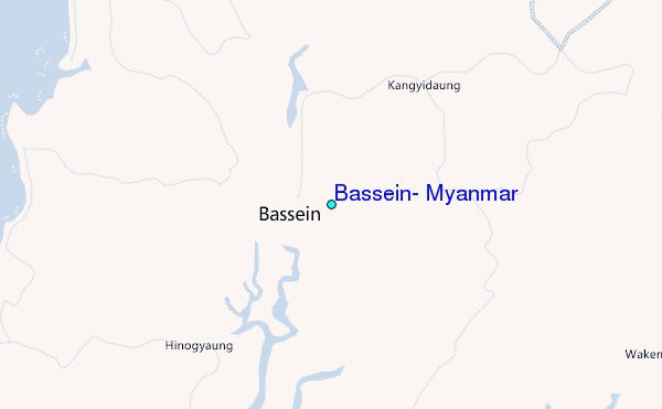
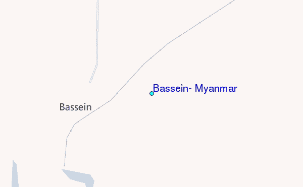
Use this relief map to navigate to tide stations, surf breaks and cities that are in the area of Bassein, Myanmar.
Other Nearby Locations' tide tables and tide charts to Bassein, Myanmar:
click location name for more details
 Surf breaks close to Bassein, Myanmar:
|
||
|---|---|---|
| Closest surf break | Cox's Bazar | 369 mi |
| Second closest surf break | Butlers Bay (South Andaman) | 377 mi |
| Third closest surf break | Corbyns Cove (South Andaman) | 381 mi |
| Fourth closest surf break | Sentinel (South Andaman) | 398 mi |
| Fifth closest surf break | Jarawa Point (Totems Reef) | 401 mi |


 Nearest
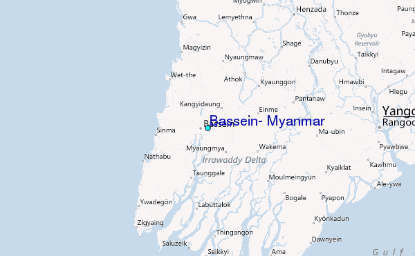