
| Distance / Altitude | Location | Report Date / Time | Live Weather | Wind | Gusts | Temp. | Visibility | Cloud |
|---|---|---|---|---|---|---|---|---|
| 10 km N / 1 m | lightning 10km N of Weeki Wachee Gardens (United States) | 2026-07-12 21:46 local (2026/07/13 01:46 GMT) | Thunderstorm | (- km/h at -) | — | |||
| 19 km S / 0 m | lightning 5km WNW of Hudson (United States) | 2026-07-12 21:30 local (2026/07/13 01:30 GMT) | Thunderstorm | (- km/h at -) | — | |||
| 21 km ESE / 219 m | Brooksville Airport (Florida) | 2026-07-12 21:33 local (2026/07/13 01:33 GMT) | Light rain | moderate winds from the SW (26 km/h at 230) | 26°C | 16 | few few broken | |
| 24 km S / 7 m | lightning 5km ENE of Bayonet Point (United States) | 2026-07-12 21:03 local (2026/07/13 01:03 GMT) | Thunderstorm | (- km/h at -) | — | |||
| 25 km SE / 21 m | lightning 8km ESE of Shady Hills (United States) | 2026-07-12 21:33 local (2026/07/13 01:33 GMT) | Thunderstorm | (- km/h at -) | — | |||
| 28 km S / 2 m | thunderstorm affecting Jasmine Estates (United States) | 2026-07-12 21:33 local (2026/07/13 01:33 GMT) | Thunderstorm | (- km/h at -) | — | |||
| 30 km S / 3 m | thunderstorm affecting Port Richey (United States) | 2026-07-12 21:33 local (2026/07/13 01:33 GMT) | Thunderstorm | (- km/h at -) | — | |||
| 35 km S / 0 m | lightning 6km NW of Beacon Square (United States) | 2026-07-12 20:45 local (2026/07/13 00:45 GMT) | Thunderstorm | (- km/h at -) | — | |||
| 35 km S / 2 m | thunderstorm affecting Elfers (United States) | 2026-07-12 21:33 local (2026/07/13 01:33 GMT) | Thunderstorm | (- km/h at -) | — | |||
| 38 km NNE / 3 m | Crystal River Airport (Florida) (Florida) | 2026-07-12 21:35 local (2026/07/13 01:35 GMT) | Clear | light winds from the WSW (9 km/h at 240) | 27°C | 16 |
| Contours: | Roads & Rivers: | Select a
tide station / surf break / city |
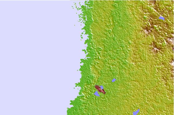
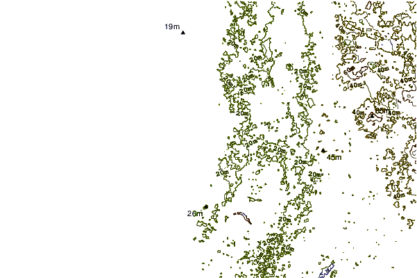
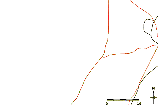
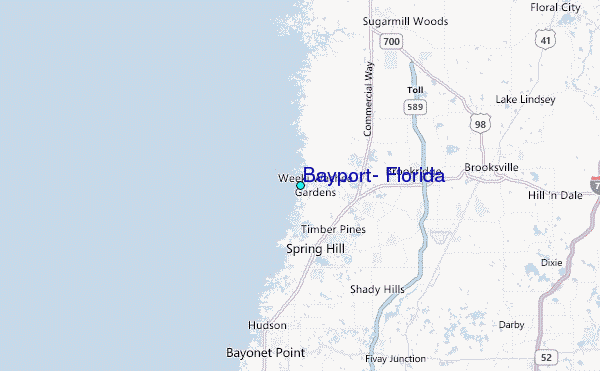
Use this relief map to navigate to tide stations, surf breaks and cities that are in the area of Bayport, Florida.
Other Nearby Locations' tide tables and tide charts to Bayport, Florida:
click location name for more details
 Surf breaks close to Bayport, Florida:
|
||
|---|---|---|
| Closest surf break | Anclote Island | 27 mi |
| Second closest surf break | Honeymoon Island | 31 mi |
| Third closest surf break | Clearwater Pass | 40 mi |
| Fourth closest surf break | Sand Key Park | 42 mi |
| Fifth closest surf break | Clearwater Beach | 42 mi |


 Nearest
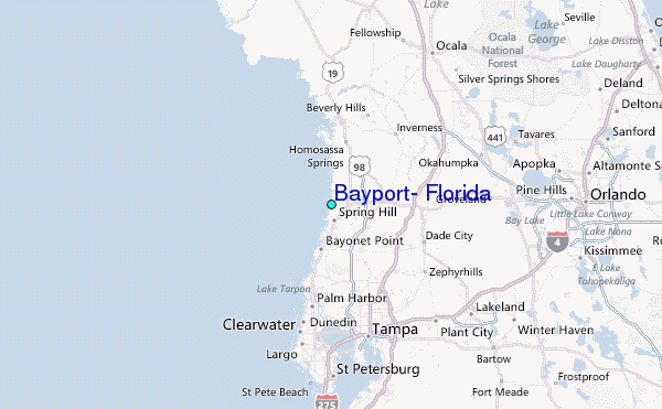