
| Distance / Altitude | Location | Report Date / Time | Live Weather | Wind | Gusts | Temp. | Visibility | Cloud |
|---|---|---|---|---|---|---|---|---|
| 21 km SW / 3 m | BUOY-KPTN6 (Marine) | 2026-07-26 11:18 local (2026/07/26 15:18 GMT) | light winds from the N (9 km/h at 10) | — | - | |||
| 22 km WNW / 218 m | White Plains Airport (New York) | 2026-07-26 09:56 local (2026/07/26 13:56 GMT) | Clear | light winds from the ESE (6 km/h at 120) | 23°C | 16 | ||
| 22 km SSE / 218 m | Farmingdale Airport (New York) | 2026-07-26 09:53 local (2026/07/26 13:53 GMT) | Clear | light winds from the N (7 km/h at 1) | 23°C | 16 | ||
| 23 km ESE / 41 m | Dix Hills (New York) | 2026-07-26 11:24 local (2026/07/26 15:24 GMT) | dry | calm (3 km/h at 69) | 27°C | - | - - 0 | |
| 24 km ESE / 283 m | Brookhaven Lab Airport (New York) | 2026-07-26 10:35 local (2026/07/26 14:35 GMT) | Clear | wind obs. (11 kph from 290 degs) was rejected (- km/h at -) | 28°C | 14 | ||
| 31 km SW / 218 m | New York City La Guardia Airport (New York) | 2026-07-26 09:51 local (2026/07/26 13:51 GMT) | - | light winds from the ENE (6 km/h at 60) | 23°C | 16 | few few few | |
| 35 km S / 218 m | New York City/JFK Airport (New York) | 2026-07-26 09:51 local (2026/07/26 13:51 GMT) | - | light winds from the N (6 km/h at 1) | 24°C | 16 | few | |
| 38 km SW / 219 m | New Your City/Central Park Airport (New York) | 2026-07-26 09:51 local (2026/07/26 13:51 GMT) | Clear | wind obs. (6 kph from 40 degs) was rejected (- km/h at -) | 23°C | 16 | ||
| 40 km ESE / 218 m | Islip Airport (New York) | 2026-07-26 09:56 local (2026/07/26 13:56 GMT) | Clear | light winds from the NE (11 km/h at 40) | 23°C | 16 | ||
| 42 km WSW / 215 m | Teterboro Airport (New Jersey) | 2026-07-26 09:51 local (2026/07/26 13:51 GMT) | Clear | calm (0 km/h at 0) | 23°C | 16 |
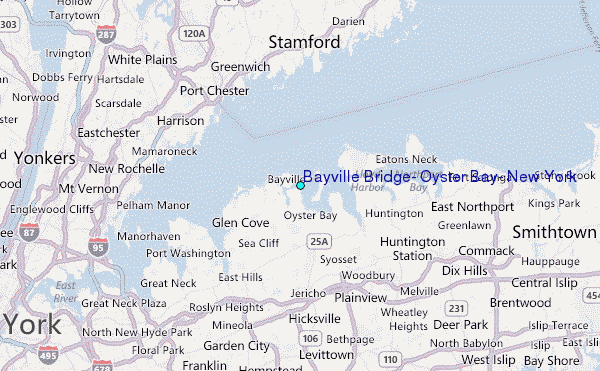
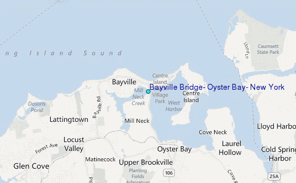
Choose Bayville Bridge, Oyster Bay, New York Location Map Zoom:
| Contours: | Roads & Rivers: | Select a
tide station / surf break / city |
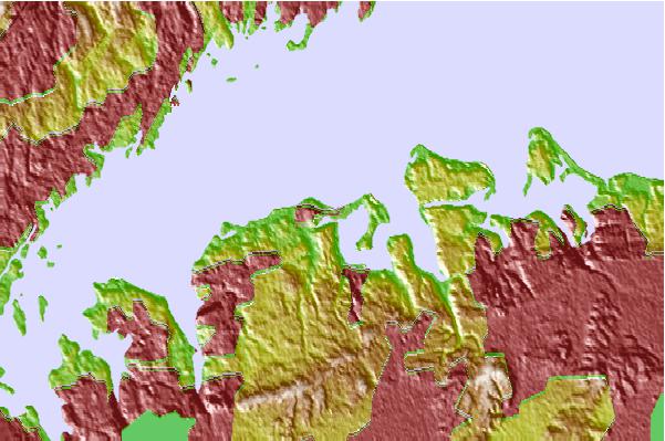
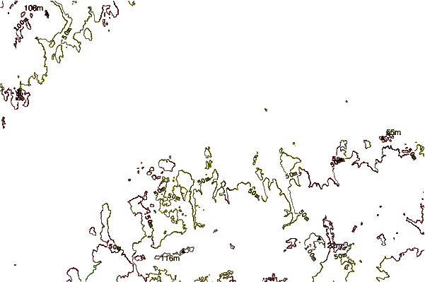
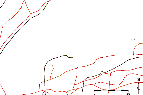
Use this relief map to navigate to tide stations, surf breaks and cities that are in the area of Bayville Bridge, Oyster Bay, New York.
Other Nearby Locations' tide tables and tide charts to Bayville Bridge, Oyster Bay, New York:
click location name for more details
 Surf breaks close to Bayville Bridge, Oyster Bay, New York:
|
||
|---|---|---|
| Closest surf break | Gilgo | 21 mi |
| Second closest surf break | Tobay beach | 21 mi |
| Third closest surf break | Coastguards | 22 mi |
| Fourth closest surf break | Jones Beach State Park | 22 mi |
| Fifth closest surf break | Lido Beach | 22 mi |


 Nearest
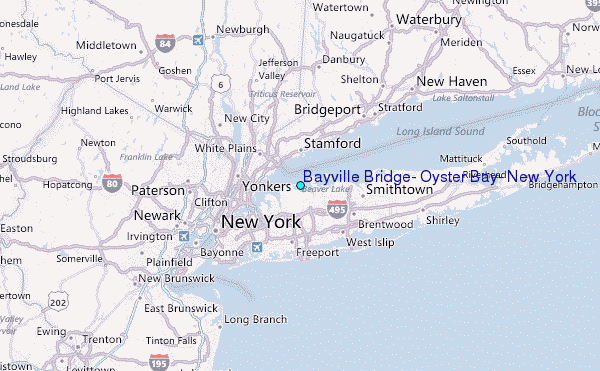