
| Distance / Altitude | Location | Report Date / Time | Live Weather | Wind | Gusts | Temp. | Visibility | Cloud |
|---|---|---|---|---|---|---|---|---|
| 470 km NNE / 15 m | SHIP1766 (Marine) | 2026-07-09 20:00 local (2026/07/09 18:00 GMT) | - (- km/h at -) | — | - km | |||
| 481 km E / 6 m | Sallum Plateau (Egypt) | 2026-07-09 21:00 local (2026/07/09 19:00 GMT) | no report | light winds from the N (7 km/h at 10) | 31°C | 10 | - - - | |
| 522 km NNE / 0 m | Kythira (Greece) | 2026-07-09 20:00 local (2026/07/09 18:00 GMT) | no report | wind obs. (50 kph from 20 degs) was rejected (- km/h at -) | 34°C | - | - | |
| 527 km NE / 216 m | Souda/Khania Airport (Greece) | 2026-07-09 20:20 local (2026/07/09 18:20 GMT) | - | light winds from the NW (11 km/h at 310) | 25°C | 10.0 | few | |
| 534 km NE / 149 m | Souda (Airport) (Greece) | 2026-07-09 20:00 local (2026/07/09 18:00 GMT) | no report | light winds from the NW (19 km/h at 310) | 30°C | 10 | - | |
| 469 km NNE / 3 m | SHIP5131 (Marine) | 2026-07-09 20:00 local (2026/07/09 18:00 GMT) | - (- km/h at -) | 27°C | - | |||
| 469 km NNE / 15 m | SHIP3337 (Marine) | 2026-07-09 20:00 local (2026/07/09 18:00 GMT) | - (- km/h at -) | — | - km | |||
| 482 km E / 6 m | Sallum Plateau (Egypt) | 2026-07-09 21:00 local (2026/07/09 19:00 GMT) | no report | light winds from the N (7 km/h at 10) | 31°C | 10 | - - - | |
| 521 km NW / 15 m | SHIP2359 (Marine) | 2026-07-09 20:00 local (2026/07/09 18:00 GMT) | light winds from the NW (18.0 km/h at 320) | — | - km | |||
| 521 km NW / 3 m | SHIP793 (Marine) | 2026-07-09 20:00 local (2026/07/09 18:00 GMT) | light winds from the NW (18 km/h at 320) | 27°C | - |
| Contours: | Roads & Rivers: | Select a
tide station / surf break / city |
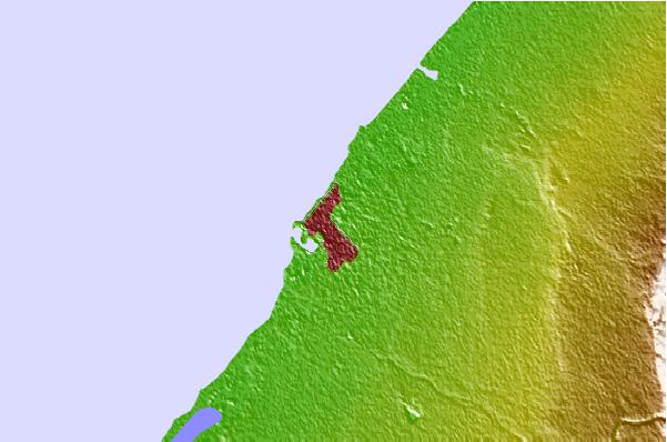
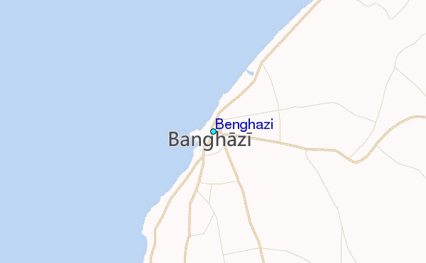
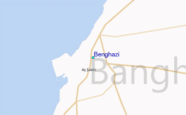
Use this relief map to navigate to tide stations, surf breaks and cities that are in the area of Benghazi.
Other Nearby Locations' tide tables and tide charts to Benghazi:
click location name for more details
 Surf breaks close to Benghazi:
|
||
|---|---|---|
| Closest surf break | Unnamed5 | 179 mi |
| Second closest surf break | Unnamed6 | 179 mi |
| Third closest surf break | Unnamed | 181 mi |
| Fourth closest surf break | Stomio (Crete) | 298 mi |
| Fifth closest surf break | Falasarna | 306 mi |


 Nearest
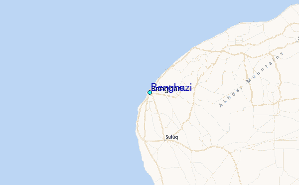