
| Distance / Altitude | Location | Report Date / Time | Live Weather | Wind | Gusts | Temp. | Visibility | Cloud |
|---|---|---|---|---|---|---|---|---|
| 397 km SE / 215 m | Kwajalein/buchol Airport (Marshall Islands) | 2026-07-10 06:40 local (2026/07/09 18:40 GMT) | Clear | light winds from the S (9 km/h at 190) | 28°C | 16 | scattered scattered broken | |
| 397 km SE / 3 m | BUOY-KWJP8 (Marine) | 2026-07-10 07:00 local (2026/07/09 19:00 GMT) | - (- km/h at -) | — | - | |||
| 797 km SE / 208 m | Majuro Atoll Airport (Marshall Islands) | 2026-07-10 05:50 local (2026/07/09 17:50 GMT) | Dry and partly cloudy | light winds from the W (9 km/h at 270) | 28°C | 24 | few scattered broken | |
| 812 km SE / 3 m | Kalo- Majuro- Marshall Islands (Marine) | 2026-07-10 06:30 local (2026/07/09 18:30 GMT) | - (- km/h at -) | 26°C | - | |||
| 819 km SE / 3 m | BUOY-52216 (Marine) | 2026-07-10 07:00 local (2026/07/09 19:00 GMT) | - (- km/h at -) | 27°C | - | |||
| 858 km N / 194 m | Wake Island Airfield Airport (Wake Island) | 2026-07-10 06:30 local (2026/07/09 18:30 GMT) | Haze - | light winds from the ESE (19 km/h at 110) | 29°C | 6 | scattered scattered | |
| 859 km N / 3 m | BUOY-WAKP8 (Marine) | 2026-07-10 07:00 local (2026/07/09 19:00 GMT) | light winds from the ESE (13 km/h at 110) | 28°C | - | |||
| 955 km SW / 192 m | Pohnpei Airport (Micronesia) | 2026-07-10 05:57 local (2026/07/09 17:57 GMT) | Dry and cloudy | calm (0 km/h at 0) | 26°C | 24 | broken overcast overcast | |
| 1390 km SSW / 7 m | Cassidy International Airport (Kiribati) | 2026-07-10 06:00 local (2026/07/09 18:00 GMT) | Dry and partly cloudy | calm (4 km/h at 1) | 29°C | 10.0 | scattered | |
| 1391 km WSW / 0 m | lightning (Micronesia) | 2026-07-10 05:03 local (2026/07/09 17:03 GMT) | Thunderstorm | (- km/h at -) | — |
| Contours: | Roads & Rivers: | Select a
tide station / surf break / city |
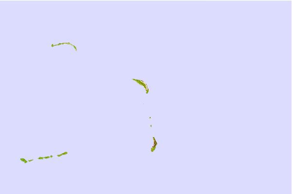
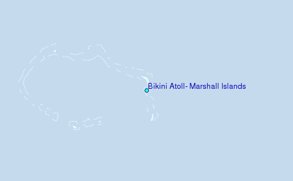
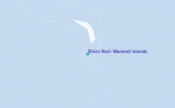
Use this relief map to navigate to tide stations, surf breaks and cities that are in the area of Bikini Atoll, Marshall Islands.
Other Nearby Locations' tide tables and tide charts to Bikini Atoll, Marshall Islands:
click location name for more details
 Surf breaks close to Bikini Atoll, Marshall Islands:
|
||
|---|---|---|
| Closest surf break | Sidedish | 469 mi |
| Second closest surf break | Walung | 470 mi |
| Third closest surf break | Naa | 856 mi |
| Fourth closest surf break | Bird Island | 1349 mi |
| Fifth closest surf break | Tank Beach | 1352 mi |


 Nearest