
| Distance / Altitude | Location | Report Date / Time | Live Weather | Wind | Gusts | Temp. | Visibility | Cloud |
|---|---|---|---|---|---|---|---|---|
| 194 km ESE / 611 m | Malabo/Fernando Poo Airport (Equatorial Guinea) | 2026-07-09 20:00 local (2026/07/09 19:00 GMT) | - | light winds from the SW (11 km/h at 220) | — | 10 | scattered - - | |
| 287 km E / 209 m | Douala Airport (Cameroon) | 2026-07-09 19:00 local (2026/07/09 18:00 GMT) | Drizzle | calm (2 km/h at 1) | 25°C | 1.6 | scattered broken few | |
| 287 km E / 209 m | Douala Airport (Cameroon) | 2026-07-09 19:00 local (2026/07/09 18:00 GMT) | Drizzle | calm (2 km/h at 1) | 25°C | 1.6 | scattered broken few | |
| 308 km WSW / 0 m | lightning 164km SW of Burutu (Nigeria) | 2026-07-09 19:04 local (2026/07/09 18:04 GMT) | Thunderstorm | (- km/h at -) | — | |||
| 342 km W / 3 m | SHIP1256 (Marine) | 2026-07-09 20:00 local (2026/07/09 19:00 GMT) | - (- km/h at -) | 25°C | - | |||
| 342 km W / 15 m | SHIP1985 (Marine) | 2026-07-09 20:00 local (2026/07/09 19:00 GMT) | - (- km/h at -) | — | - km | |||
| 370 km W / 3 m | SHIP767 (Marine) | 2026-07-09 19:00 local (2026/07/09 18:00 GMT) | - (- km/h at -) | 25°C | - | |||
| 370 km W / 3 m | SHIP2824 (Marine) | 2026-07-09 19:00 local (2026/07/09 18:00 GMT) | - (- km/h at -) | 25°C | - | |||
| 370 km W / 15 m | SHIP3518 (Marine) | 2026-07-09 19:00 local (2026/07/09 18:00 GMT) | - (- km/h at -) | — | - km | |||
| 370 km W / 15 m | SHIP6440 (Marine) | 2026-07-09 19:00 local (2026/07/09 18:00 GMT) | - (- km/h at -) | — | - km |
| Contours: | Roads & Rivers: | Select a
tide station / surf break / city |
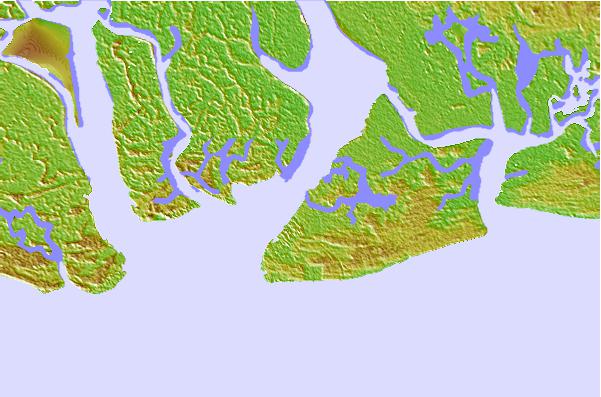
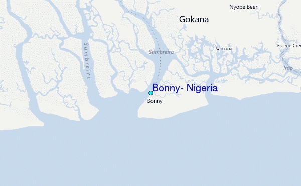
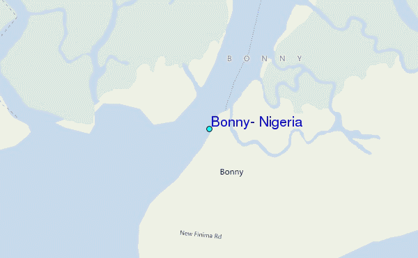
Use this relief map to navigate to tide stations, surf breaks and cities that are in the area of Bonny, Nigeria.
Other Nearby Locations' tide tables and tide charts to Bonny, Nigeria:
click location name for more details
 Surf breaks close to Bonny, Nigeria:
|
||
|---|---|---|
| Closest surf break | Seme Beach Limbe | 139 mi |
| Second closest surf break | Kribi | 216 mi |
| Third closest surf break | Lighthouse Beach | 292 mi |
| Fourth closest surf break | Tarqua Bay | 293 mi |
| Fifth closest surf break | Shipwreck | 308 mi |


 Nearest
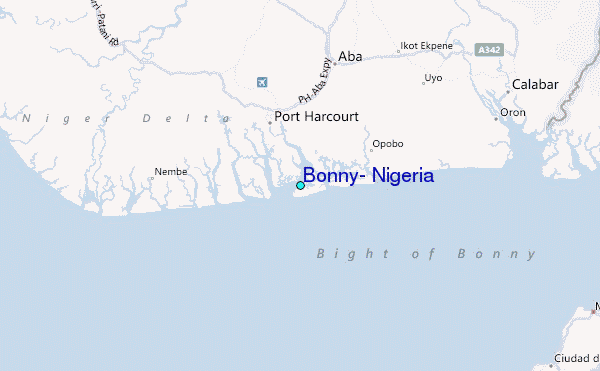