
| Distance / Altitude | Location | Report Date / Time | Live Weather | Wind | Gusts | Temp. | Visibility | Cloud |
|---|---|---|---|---|---|---|---|---|
| 2 km SW / 2 m | Bradenton wx (United States) | 2026-06-25 18:38 local (2026/06/25 22:38 GMT) | dry | calm (0 km/h at 1) | 27°C | - | - - 0 | |
| 11 km NNE / 6 m | lightning 7km N of Ellenton (United States) | 2026-06-25 19:31 local (2026/06/25 23:31 GMT) | Thunderstorm | (- km/h at -) | — | |||
| 11 km S / 219 m | Sarasota/Bradenton Airport (Florida) | 2026-06-25 17:53 local (2026/06/25 21:53 GMT) | Clear | light winds from the W (11 km/h at 270) | 31°C | 16 | ||
| 16 km N / 3 m | BUOY-PMAF1 (Marine) | 2026-06-25 18:48 local (2026/06/25 22:48 GMT) | - (- km/h at -) | — | - | |||
| 18 km N / 3 m | BUOY-MTBF1 (Marine) | 2026-06-25 18:48 local (2026/06/25 22:48 GMT) | light winds from the WSW (11 km/h at 240) | — | 10.9 | |||
| 24 km NNE / 3 m | lightning 6km WSW of Ruskin (United States) | 2026-06-25 19:31 local (2026/06/25 23:31 GMT) | Thunderstorm | (- km/h at -) | — | |||
| 29 km N / 3 m | BUOY-SAPF1 (Marine) | 2026-06-25 18:48 local (2026/06/25 22:48 GMT) | light winds from the SW (18 km/h at 230) | — | - | |||
| 30 km N / 218 m | St Peters/Albert Whitted Airport (Florida) | 2026-06-25 17:53 local (2026/06/25 21:53 GMT) | Clear | calm (0 km/h at 270) | 32°C | 16 | ||
| 37 km W / 3 m | Egmont Channel Entrance- FL (Marine) | 2026-06-25 18:00 local (2026/06/25 22:00 GMT) | - (- km/h at -) | 31°C | - | |||
| 39 km N / 212 m | MacDill Air Force Base/Tampa Airport (Florida) | 2026-06-25 18:38 local (2026/06/25 22:38 GMT) | Dry and partly cloudy | wind obs. (17 kph from 100 degs) was rejected (- km/h at -) | — | 16 | scattered broken broken |
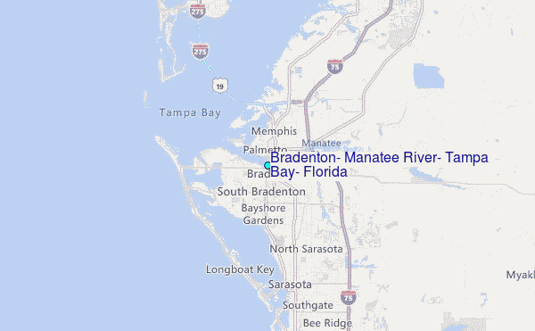
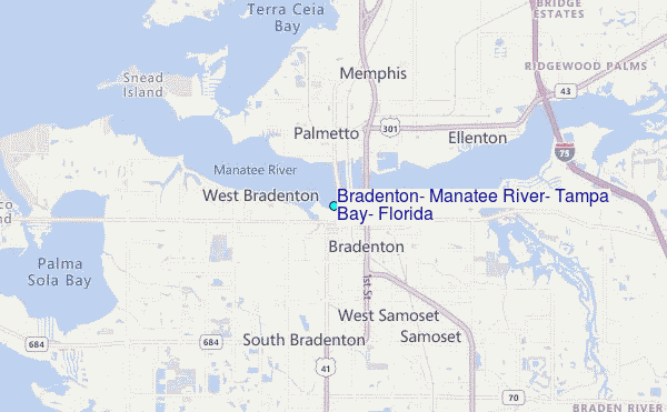
Choose Bradenton, Manatee River, Tampa Bay, Florida Location Map Zoom:
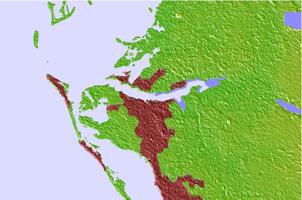
| Contours: | Roads & Rivers: | Select a
tide station / surf break / city |
Use this relief map to navigate to tide stations, surf breaks and cities that are in the area of Bradenton, Manatee River, Tampa Bay, Florida.
Other Nearby Locations' tide tables and tide charts to Bradenton, Manatee River, Tampa Bay, Florida:
click location name for more details
 Surf breaks close to Bradenton, Manatee River, Tampa Bay, Florida:
|
||
|---|---|---|
| Closest surf break | Bradenton Beach | 9 mi |
| Second closest surf break | Holmes Beach Pier | 9 mi |
| Third closest surf break | Siesta | 9 mi |
| Fourth closest surf break | Anna Maria Island | 11 mi |
| Fifth closest surf break | Anna Maria Key | 11 mi |


 Nearest
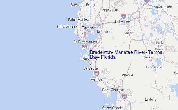