
| Distance / Altitude | Location | Report Date / Time | Live Weather | Wind | Gusts | Temp. | Visibility | Cloud |
|---|---|---|---|---|---|---|---|---|
| 260 km S / 3 m | SHIP8446 (Marine) | 2026-06-22 12:00 local (2026/06/22 04:00 GMT) | - (- km/h at -) | 28°C | - | |||
| 389 km S / 212 m | Curtin/Derby Airport (Australia) | 2026-06-22 12:30 local (2026/06/22 04:30 GMT) | Dry and partly cloudy | light winds from the E.(Wind varies from 050 to 130 degs) (9 km/h at 100) | 28°C | 10.0 | no cloud | |
| 259 km S / 15 m | SHIP7798 (Marine) | 2026-06-22 12:00 local (2026/06/22 04:00 GMT) | - (- km/h at -) | 26°C | - km | |||
| 259 km S / 15 m | SHIP5939 (Marine) | 2026-06-22 11:00 local (2026/06/22 03:00 GMT) | - (- km/h at -) | 26°C | - km | |||
| 259 km S / 15 m | SHIP1424 (Marine) | 2026-06-22 12:00 local (2026/06/22 04:00 GMT) | - (- km/h at -) | 26°C | - km | |||
| 259 km S / 15 m | SHIP2128 (Marine) | 2026-06-22 11:00 local (2026/06/22 03:00 GMT) | - (- km/h at -) | 26°C | - km | |||
| 259 km S / 3 m | SHIP7589 (Marine) | 2026-06-22 12:00 local (2026/06/22 04:00 GMT) | - (- km/h at -) | 28°C | - | |||
| 259 km S / 15 m | SHIP2860 (Marine) | 2026-06-22 11:00 local (2026/06/22 03:00 GMT) | - (- km/h at -) | 26°C | - km | |||
| 259 km S / 15 m | SHIP5565 (Marine) | 2026-06-22 12:00 local (2026/06/22 04:00 GMT) | - (- km/h at -) | 26°C | - km | |||
| 259 km S / 3 m | SHIP2581 (Marine) | 2026-06-22 11:00 local (2026/06/22 03:00 GMT) | - (- km/h at -) | 25°C | - |
| Contours: | Roads & Rivers: | Select a
tide station / surf break / city |
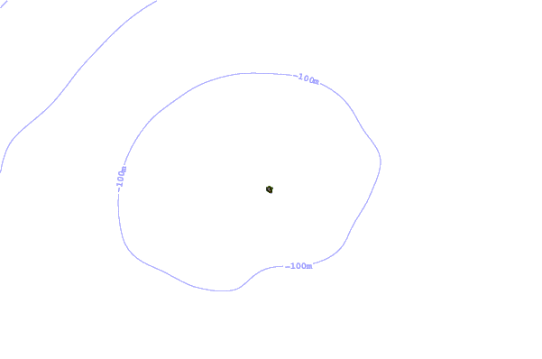
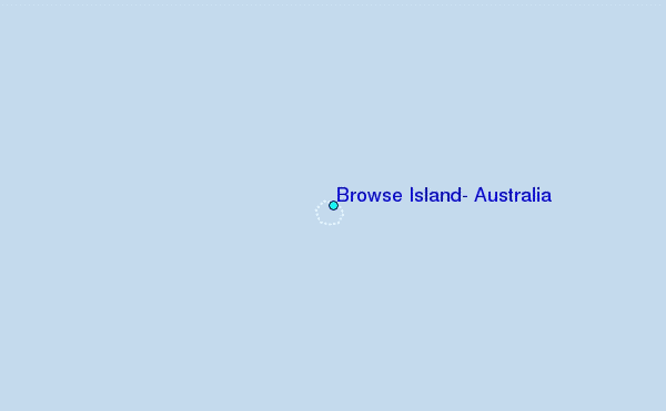
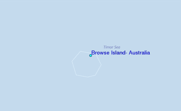
Use this relief map to navigate to tide stations, surf breaks and cities that are in the area of Browse Island, Australia.
Other Nearby Locations' tide tables and tide charts to Browse Island, Australia:
click location name for more details
 Surf breaks close to Browse Island, Australia:
|
||
|---|---|---|
| Closest surf break | Ndana | 222 mi |
| Second closest surf break | Boa | 224 mi |
| Third closest surf break | Peanuts | 225 mi |
| Fourth closest surf break | T-Land | 227 mi |
| Fifth closest surf break | Do'o | 233 mi |


 Nearest