
| Distance / Altitude | Location | Report Date / Time | Live Weather | Wind | Gusts | Temp. | Visibility | Cloud |
|---|---|---|---|---|---|---|---|---|
| 15 km S / 218 m | Olympia Airport (Washington) | 2026-06-23 18:54 local (2026/06/24 01:54 GMT) | Clear | light winds from the N (6 km/h at 10) | 33°C | 16 | ||
| 23 km WNW / 219 m | Shelton Airport (Washington) | 2026-06-23 18:53 local (2026/06/24 01:53 GMT) | Clear | light winds from the W (13 km/h at 260) | 32°C | 16 | ||
| 25 km E / 218 m | Fort Lewis/Gray Army Airfield Airport (Washington) | 2026-06-23 18:55 local (2026/06/24 01:55 GMT) | Clear | wind obs. (9 kph from 330 degs) was rejected (- km/h at -) | 33°C | 16 | ||
| 29 km NE / 72 m | Gig Harbor (Washington) | 2026-06-23 19:20 local (2026/06/24 02:20 GMT) | dry | calm (2 km/h at 32) | 28°C | - | - - 0 | |
| 30 km NE / 219 m | Tacoma Airport (Washington) | 2026-06-23 18:53 local (2026/06/24 01:53 GMT) | Clear | light winds from the NE (9 km/h at 50) | 30°C | 16 | ||
| 33 km NW / 3 m | BUOY-46123 (Marine) | 2026-06-23 18:30 local (2026/06/24 01:30 GMT) | - (- km/h at -) | 27°C | - | |||
| 33 km E / 217 m | Tacoma/McChord Air Force Base Airport (Washington) | 2026-06-23 18:55 local (2026/06/24 01:55 GMT) | Clear | light winds from the NNE (9 km/h at 20) | 32°C | 16 | ||
| 39 km ENE / 15 m | SHIP2820 (Marine) | 2026-06-23 18:00 local (2026/06/24 01:00 GMT) | - (- km/h at -) | — | - km | |||
| 39 km ENE / 15 m | SHIP4209 (Marine) | 2026-06-23 18:00 local (2026/06/24 01:00 GMT) | - (- km/h at -) | — | - km | |||
| 39 km ENE / 15 m | SHIP1530 (Marine) | 2026-06-23 18:00 local (2026/06/24 01:00 GMT) | - (- km/h at -) | — | - km |
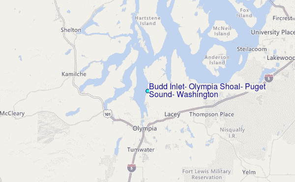
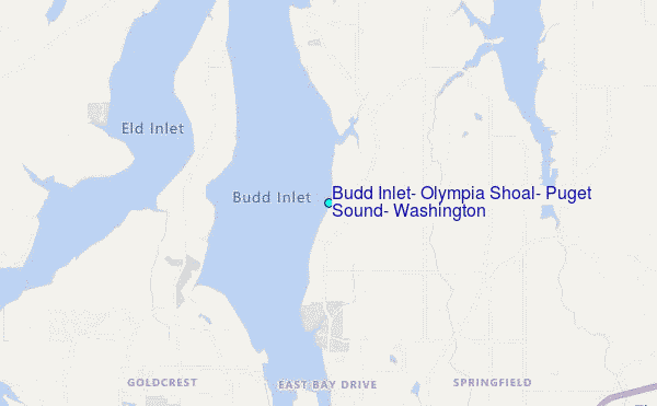
Choose Budd Inlet, Olympia Shoal, Puget Sound, Washington Location Map Zoom:
| Contours: | Roads & Rivers: | Select a
tide station / surf break / city |
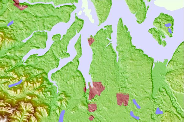
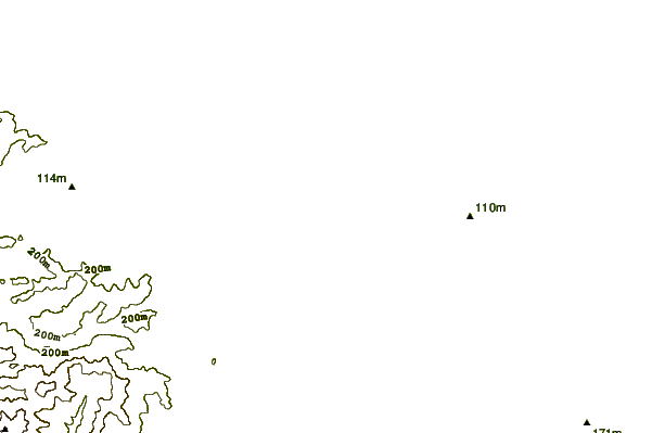
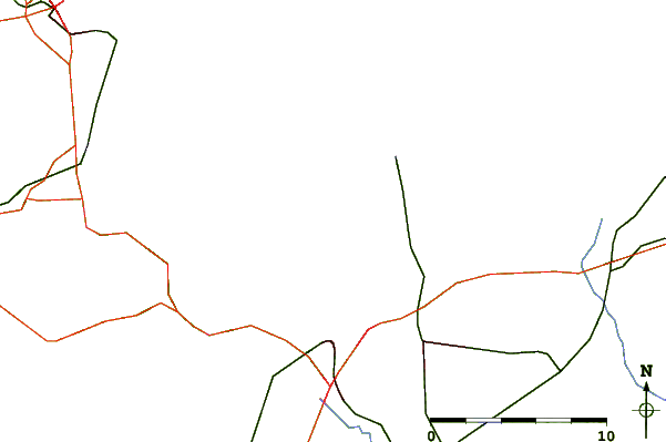
Use this relief map to navigate to tide stations, surf breaks and cities that are in the area of Budd Inlet, Olympia Shoal, Puget Sound, Washington.
Other Nearby Locations' tide tables and tide charts to Budd Inlet, Olympia Shoal, Puget Sound, Washington:
click location name for more details
 Surf breaks close to Budd Inlet, Olympia Shoal, Puget Sound, Washington:
|
||
|---|---|---|
| Closest surf break | Westport-The Groins | 58 mi |
| Second closest surf break | Damon Point | 60 mi |
| Third closest surf break | Half Moon Bay | 60 mi |
| Fourth closest surf break | Westport-The Cove | 60 mi |
| Fifth closest surf break | Westport-The Corner | 60 mi |


 Nearest
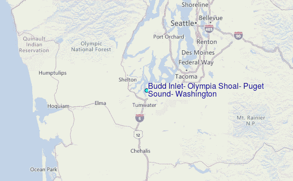