
| Distance / Altitude | Location | Report Date / Time | Live Weather | Wind | Gusts | Temp. | Visibility | Cloud |
|---|---|---|---|---|---|---|---|---|
| 3 km WSW / 0 m | Burnie Ntc Aws (Australia) | 2026-06-14 12:00 local (2026/06/14 02:00 GMT) | No report | light winds from the NW (15 km/h at 310) | 12°C | - | - no observation - | |
| 19 km W / 12 m | Burnie Airport (Wynyard) (Australia) | 2026-06-14 12:00 local (2026/06/14 02:00 GMT) | no report | light winds from the W (11 km/h at 260) | 4°C | - | - scattered - | |
| 42 km ESE / 10 m | DevonportAirport (Australia) | 2026-06-14 12:00 local (2026/06/14 02:00 GMT) | no report | light winds from the S (9 km/h at 170) | 6°C | - | - no observation - | |
| 49 km SE / 294 m | SheffieldSchoolFarm (Australia) | 2026-06-14 12:00 local (2026/06/14 02:00 GMT) | No report | light winds from the WSW (13 km/h at 240) | 11°C | - | - no observation - | |
| 68 km WSW / 344 m | Luncheon Hill (Forestry) (Australia) | 2026-06-14 12:00 local (2026/06/14 02:00 GMT) | Rain | light winds from the W (17 km/h at 260) | 9°C | - | - no observation - | |
| 70 km E / 4 m | LowHead (Australia) | 2026-06-14 12:00 local (2026/06/14 02:00 GMT) | No report | fresh winds from the W (31 km/h at 270) | 13°C | - | - no observation - | |
| 77 km W / 9 m | Smithton Aerodrome (Australia) | 2026-06-14 12:00 local (2026/06/14 02:00 GMT) | No report | moderate winds from the WSW (20 km/h at 250) | 13°C | - | - no observation - | |
| 95 km S / 1120 m | MountRead (Australia) | 2026-06-14 12:00 local (2026/06/14 02:00 GMT) | no report | light winds from the S (6 km/h at 190) | 3°C | - | - no observation - | |
| 106 km ESE / 5 m | Launceston (TI Tree Bend) (Australia) | 2026-06-14 12:00 local (2026/06/14 02:00 GMT) | No report | light winds from the N (9 km/h at 350) | 13°C | - | - no observation - | |
| 111 km SSE / 1042 m | Liawenee (Australia) | 2026-06-14 12:00 local (2026/06/14 02:00 GMT) | no report | light winds from the SSW (7 km/h at 200) | 2°C | - | - - - |
| Contours: | Roads & Rivers: | Select a
tide station / surf break / city |
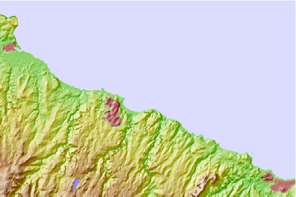
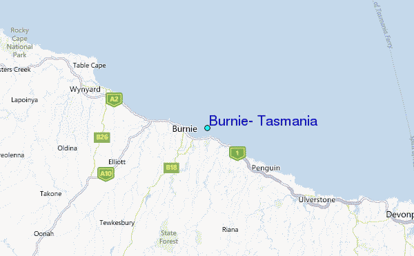
Use this relief map to navigate to tide stations, surf breaks and cities that are in the area of Burnie, Tasmania.
Other Nearby Locations' tide tables and tide charts to Burnie, Tasmania:
click location name for more details
 Surf breaks close to Burnie, Tasmania:
|
||
|---|---|---|
| Closest surf break | Devonport Rivermouth | 23 mi |
| Second closest surf break | Mini Bluff | 30 mi |
| Third closest surf break | East Beach | 45 mi |
| Fourth closest surf break | Tam O'Shanter | 52 mi |
| Fifth closest surf break | Mount Cameron | 67 mi |


 Nearest
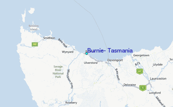