
| Distance / Altitude | Location | Report Date / Time | Live Weather | Wind | Gusts | Temp. | Visibility | Cloud |
|---|---|---|---|---|---|---|---|---|
| 9 km W / 216 m | Pembrey Sands (United Kingdom) | 2026-06-26 21:20 local (2026/06/26 20:20 GMT) | Dry and partly cloudy | light winds from the SSW (9 km/h at 200) | 18°C | 10.0 | no cloud | |
| 9 km W / 216 m | Pembrey Sands Airport (United Kingdom) | 2026-06-26 21:20 local (2026/06/26 20:20 GMT) | Dry and partly cloudy | light winds from the SSW (9 km/h at 200) | 18°C | 10.0 | no cloud | |
| 13 km SE / 66 m | Llethryd Barns (United Kingdom) | 2026-06-26 22:00 local (2026/06/26 21:00 GMT) | - | calm (0 km/h at 205) | 12°C | - | - - 0 | |
| 13 km S / 72 m | Rhossili wx (United Kingdom) | 2026-06-26 22:02 local (2026/06/26 21:02 GMT) | dry | calm (0 km/h at 0) | 15°C | - | - - 0 | |
| 36 km SE / 3 m | Scarweather WaveNet Site (Marine) | 2026-06-26 22:00 local (2026/06/26 21:00 GMT) | - (- km/h at -) | — | - | |||
| 45 km S / 89 m | Mortehoe wx (United Kingdom) | 2026-06-26 22:27 local (2026/06/26 21:27 GMT) | - | wind obs. (29 kph from 269 degs) was rejected (- km/h at -) | — | - | - - 0 | |
| 47 km N / 126 m | Lampeter (United Kingdom) | 2026-06-26 22:26 local (2026/06/26 21:26 GMT) | dry | calm (0 km/h at 0) | 15°C | - | - - 0 | |
| 51 km W / 46 m | Crundale wx (United Kingdom) | 2026-06-26 22:27 local (2026/06/26 21:27 GMT) | dry | calm (2 km/h at 187) | 17°C | - | - - 0 | |
| 59 km S / 112 m | Woolacombe NDHPC (United Kingdom) | 2026-06-26 22:00 local (2026/06/26 21:00 GMT) | - | moderate winds from the SE (24 km/h at 133) | 16°C | - | - - 0 | |
| 60 km WSW / 30 m | Broad Haven - Pembs (United Kingdom) | 2026-06-26 22:00 local (2026/06/26 21:00 GMT) | - | calm (4 km/h at 163) | 17°C | - | - - 0 |
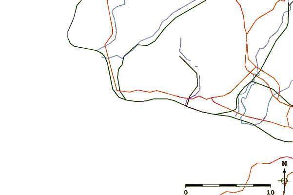
| Contours: | Roads & Rivers: | Select a
tide station / surf break / city |
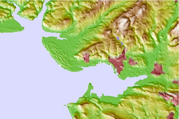
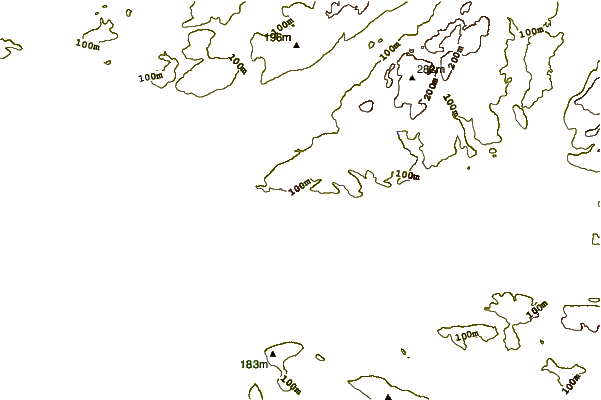
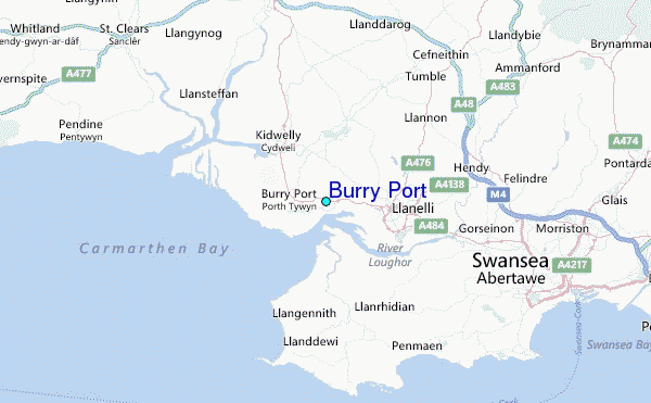
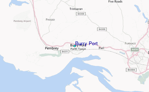
Use this relief map to navigate to tide stations, surf breaks and cities that are in the area of Burry Port.
Other Nearby Locations' tide tables and tide charts to Burry Port:
click location name for more details
 Surf breaks close to Burry Port:
|
||
|---|---|---|
| Closest surf break | Pembrey | 4 mi |
| Second closest surf break | Blue Pool | 6 mi |
| Third closest surf break | Broughton | 6 mi |
| Fourth closest surf break | Sheeps Jaw | 6 mi |
| Fifth closest surf break | Three Peaks | 6 mi |


 Nearest
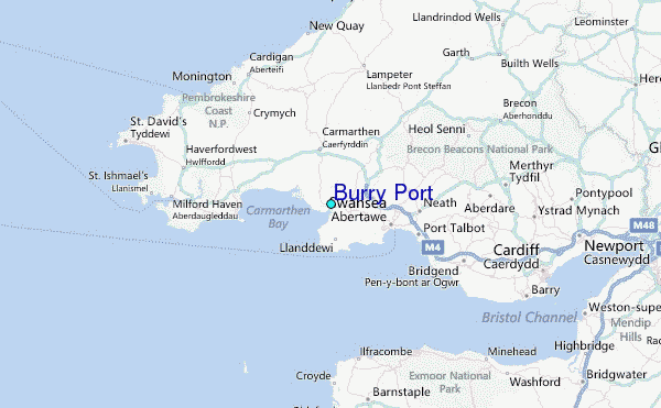