
| Distance / Altitude | Location | Report Date / Time | Live Weather | Wind | Gusts | Temp. | Visibility | Cloud |
|---|---|---|---|---|---|---|---|---|
| 8 km NE / 218 m | Fort Eustis/Felker Airport (Virginia) | 2026-06-19 21:55 local (2026/06/20 01:55 GMT) | Dry and partly cloudy | calm (0 km/h at 0) | 24°C | 16 | few broken | |
| 17 km ENE / 217 m | Newport News/Williamsburg International Airport (Virginia) | 2026-06-19 21:54 local (2026/06/20 01:54 GMT) | Dry and partly cloudy | calm (0 km/h at 0) | 23°C | 14 | few scattered | |
| 20 km NW / 217 m | Williamsburg Airport (Virginia) | 2026-06-19 22:35 local (2026/06/20 02:35 GMT) | Clear | calm (0 km/h at 0) | 21°C | 11 | ||
| 25 km ESE / 3 m | BUOY-DOMV2 (Marine) | 2026-06-19 22:48 local (2026/06/20 02:48 GMT) | calm (4 km/h at 120) | — | - | |||
| 25 km NE / 3 m | BUOY-YKTV2 (Marine) | 2026-06-19 22:48 local (2026/06/20 02:48 GMT) | light winds from the N (9 km/h at 350) | — | - | |||
| 27 km E / 217 m | Langley Air Force Base Airport (Virginia) | 2026-06-19 21:55 local (2026/06/20 01:55 GMT) | - | light winds from the W (7 km/h at 280) | 22°C | 16 | few | |
| 31 km SW / 218 m | Norfolk/Wakefield Airport (Virginia) | 2026-06-19 21:54 local (2026/06/20 01:54 GMT) | Dry and cloudy | calm (0 km/h at 0) | 23°C | 16 | few broken overcast | |
| 32 km ESE / 3 m | BUOY-WDSV2 (Marine) | 2026-06-19 22:48 local (2026/06/20 02:48 GMT) | - (0 km/h at -) | — | - | |||
| 33 km ESE / 3 m | BUOY-SWPV2 (Marine) | 2026-06-19 22:48 local (2026/06/20 02:48 GMT) | - (- km/h at -) | — | - | |||
| 35 km ESE / 3 m | BUOY-CRYV2 (Marine) | 2026-06-19 22:48 local (2026/06/20 02:48 GMT) | calm (2 km/h at 140) | — | - |
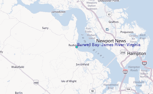
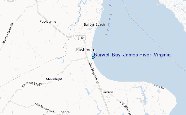
Choose Burwell Bay, James River, Virginia Location Map Zoom:
| Contours: | Roads & Rivers: | Select a
tide station / surf break / city |
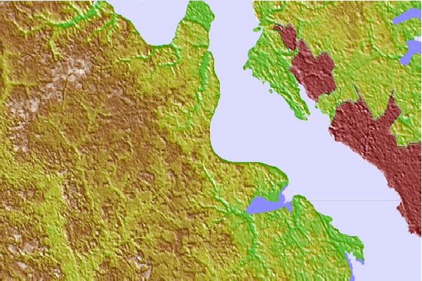
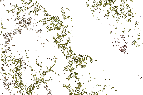
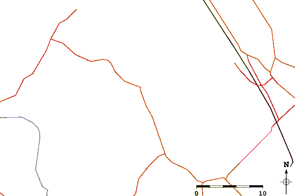
Use this relief map to navigate to tide stations, surf breaks and cities that are in the area of Burwell Bay, James River, Virginia.
Other Nearby Locations' tide tables and tide charts to Burwell Bay, James River, Virginia:
click location name for more details
 Surf breaks close to Burwell Bay, James River, Virginia:
|
||
|---|---|---|
| Closest surf break | Grandview | 22 mi |
| Second closest surf break | North End | 38 mi |
| Third closest surf break | 81st Street | 39 mi |
| Fourth closest surf break | Fishermans Island | 40 mi |
| Fifth closest surf break | 42nd St VA Beach | 40 mi |


 Nearest
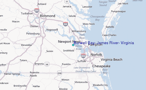