
| Distance / Altitude | Location | Report Date / Time | Live Weather | Wind | Gusts | Temp. | Visibility | Cloud |
|---|---|---|---|---|---|---|---|---|
| 144 km SSE / 611 m | Malabo/Fernando Poo Airport (Equatorial Guinea) | 2026-07-09 20:00 local (2026/07/09 19:00 GMT) | - | light winds from the SW (11 km/h at 220) | — | 10 | scattered - - | |
| 189 km SE / 209 m | Douala Airport (Cameroon) | 2026-07-09 19:00 local (2026/07/09 18:00 GMT) | Drizzle | calm (2 km/h at 1) | 25°C | 1.6 | scattered broken few | |
| 189 km SE / 209 m | Douala Airport (Cameroon) | 2026-07-09 19:00 local (2026/07/09 18:00 GMT) | Drizzle | calm (2 km/h at 1) | 25°C | 1.6 | scattered broken few | |
| 377 km ESE / 412 m | Yaounde Airport (Cameroon) | 2026-07-09 19:00 local (2026/07/09 18:00 GMT) | Dry and partly cloudy | light winds from the WNW.(Wind varies from 260 to 320 degs) (9 km/h at 290) | 23°C | 8.0 | scattered | |
| 379 km SSE / 560 m | Bata (Rio Muni) (Equatorial Guinea) | 2026-07-09 20:00 local (2026/07/09 19:00 GMT) | no report | light winds from the S (15 km/h at 180) | 29°C | 8 | - | |
| 379 km SSE / 554 m | Bata Airport (Equatorial Guinea) | 2026-07-09 19:00 local (2026/07/09 18:00 GMT) | Dry and partly cloudy | light winds from the SW (13 km/h at 230) | 27°C | 10.0 | scattered | |
| 440 km WSW / 0 m | lightning 164km SW of Burutu (Nigeria) | 2026-07-09 19:04 local (2026/07/09 18:04 GMT) | Thunderstorm | (- km/h at -) | — | |||
| 458 km WSW / 3 m | SHIP1256 (Marine) | 2026-07-09 20:00 local (2026/07/09 19:00 GMT) | - (- km/h at -) | 25°C | - | |||
| 458 km WSW / 15 m | SHIP1985 (Marine) | 2026-07-09 20:00 local (2026/07/09 19:00 GMT) | - (- km/h at -) | — | - km | |||
| 482 km WSW / 3 m | SHIP767 (Marine) | 2026-07-09 19:00 local (2026/07/09 18:00 GMT) | - (- km/h at -) | 25°C | - |
| Contours: | Roads & Rivers: | Select a
tide station / surf break / city |
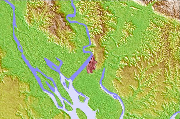
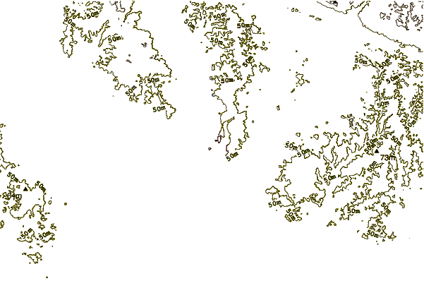
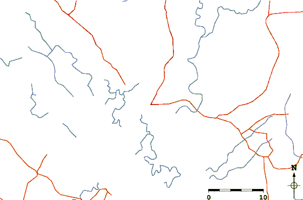
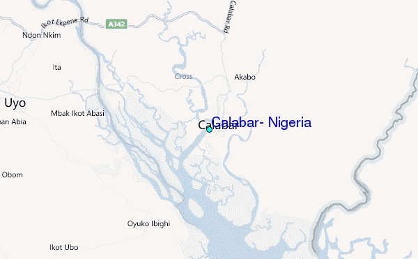
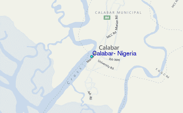
Use this relief map to navigate to tide stations, surf breaks and cities that are in the area of Calabar, Nigeria.
Other Nearby Locations' tide tables and tide charts to Calabar, Nigeria:
click location name for more details
 Surf breaks close to Calabar, Nigeria:
|
||
|---|---|---|
| Closest surf break | Seme Beach Limbe | 87 mi |
| Second closest surf break | Kribi | 178 mi |
| Third closest surf break | Ferme aux Crocos | 314 mi |
| Fourth closest surf break | Gueque | 323 mi |
| Fifth closest surf break | Ngombe | 329 mi |


 Nearest
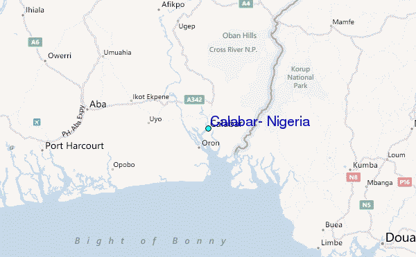