
| Distance / Altitude | Location | Report Date / Time | Live Weather | Wind | Gusts | Temp. | Visibility | Cloud |
|---|---|---|---|---|---|---|---|---|
| 7 km S / 294 m | Chetumal Airport (Mexico) | 2026-07-09 17:40 local (2026/07/09 22:40 GMT) | Dry and partly cloudy | moderate winds from the E (20 km/h at 100) | 32°C | 11 | few scattered | |
| 114 km S / 464 m | Belize International Airport (Belize) | 2026-07-09 17:00 local (2026/07/09 22:00 GMT) | Dry and partly cloudy | light winds from the E (17 km/h at 80) | 31°C | 10.0 | broken | |
| 169 km WNW / 94 m | lightning 53km E of Hopelchen (Mexico) | 2026-07-09 16:49 local (2026/07/09 21:49 GMT) | Thunderstorm | (- km/h at -) | — | |||
| 170 km WNW / 97 m | lightning 53km SW of Tzucacab (Mexico) | 2026-07-09 16:49 local (2026/07/09 21:49 GMT) | Thunderstorm | (- km/h at -) | — | |||
| 190 km S / 105 m | Melchor de Mencos Airport (Guatemala) | 2026-07-09 17:00 local (2026/07/09 22:00 GMT) | Dry and partly cloudy | wind obs. (7 kph from 180 degs) was rejected (- km/h at -) | 28°C | 10.0 | broken | |
| 218 km NW / 32 m | lightning 8km N of Tekax de Alvaro Obregon (Mexico) | 2026-07-09 16:20 local (2026/07/09 21:20 GMT) | Thunderstorm | (- km/h at -) | — | |||
| 229 km NW / 23 m | lightning 8km ENE of Teabo (Mexico) | 2026-07-09 15:45 local (2026/07/09 20:45 GMT) | Thunderstorm | (- km/h at -) | — | |||
| 232 km N / 155 m | Chichen Itza Yucatán Airport (Mexico) | 2026-07-09 16:45 local (2026/07/09 21:45 GMT) | Dry and cloudy | moderate winds from the N (28 km/h at 10) | 31°C | 8 | broken broken overcast | |
| 235 km NW / 31 m | thunderstorm affecting Mani (Mexico) | 2026-07-09 16:19 local (2026/07/09 21:19 GMT) | Thunderstorm | (- km/h at -) | — | |||
| 236 km NW / 26 m | thunderstorm affecting Chumayel (Mexico) | 2026-07-09 16:20 local (2026/07/09 21:20 GMT) | Thunderstorm | (- km/h at -) | — |
| Contours: | Roads & Rivers: | Select a
tide station / surf break / city |
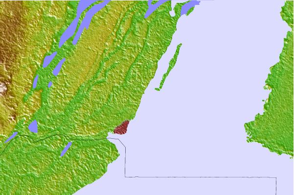
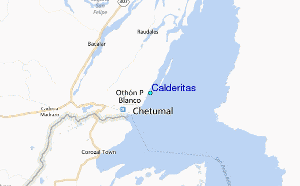
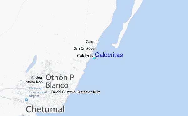
Use this relief map to navigate to tide stations, surf breaks and cities that are in the area of Calderitas.
Other Nearby Locations' tide tables and tide charts to Calderitas:
click location name for more details
 Surf breaks close to Calderitas:
|
||
|---|---|---|
| Closest surf break | Rocky Point | 41 mi |
| Second closest surf break | San Pedro North Reef Pass | 47 mi |
| Third closest surf break | San Pedro South Reef Pass | 49 mi |
| Fourth closest surf break | East Point Long Cay | 67 mi |
| Fifth closest surf break | Palma Real | 221 mi |


 Nearest
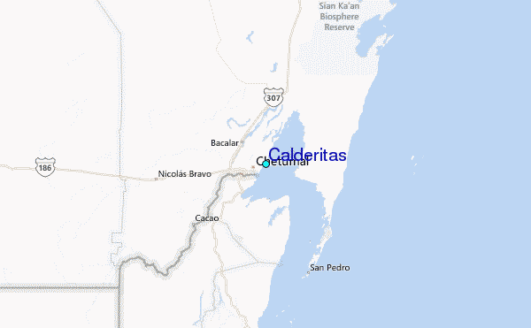