
| Distance / Altitude | Location | Report Date / Time | Live Weather | Wind | Gusts | Temp. | Visibility | Cloud |
|---|---|---|---|---|---|---|---|---|
| 13 km N / 12 m | Cam Ranh Bay Airport (Viet nam) | 2026-07-10 01:30 local (2026/07/09 18:30 GMT) | - | calm (4 km/h at 190) | — | 0.0 | ||
| 111 km S / 0 m | lightning 74km S of Phan Rang-Thap Cham (Vietnam) | 2026-07-10 00:33 local (2026/07/09 17:33 GMT) | Thunderstorm | (- km/h at -) | — | |||
| 151 km S / 0 m | lightning 99km E of Phan Thiet (Vietnam) | 2026-07-10 03:02 local (2026/07/09 20:02 GMT) | Thunderstorm | (- km/h at -) | — | |||
| 163 km E / 15 m | SHIP1514 (Marine) | 2026-07-10 01:00 local (2026/07/09 18:00 GMT) | - (- km/h at -) | — | - km | |||
| 240 km WSW / 205 m | Ấp Phước Quả B wx (Vietnam) | 2026-07-10 02:24 local (2026/07/09 19:24 GMT) | dry | calm (2 km/h at 154) | 25°C | - | - - 0 | |
| 163 km E / 3 m | SHIP6064 (Marine) | 2026-07-10 01:00 local (2026/07/09 18:00 GMT) | - (- km/h at -) | 28°C | - | |||
| 163 km E / 15 m | SHIP2096 (Marine) | 2026-07-10 01:00 local (2026/07/09 18:00 GMT) | - (- km/h at -) | — | - km | |||
| 240 km WSW / 205 m | Ấp Phước Quả B wx (Vietnam) | 2026-07-10 02:24 local (2026/07/09 19:24 GMT) | dry | calm (2 km/h at 154) | 25°C | - | - - 0 | |
| 285 km SW / 15 m | SHIP6916 (Marine) | 2026-07-10 00:00 local (2026/07/09 17:00 GMT) | - (- km/h at -) | — | - km | |||
| 285 km SW / 15 m | SHIP3959 (Marine) | 2026-07-10 00:00 local (2026/07/09 17:00 GMT) | - (- km/h at -) | — | - km |
| Contours: | Roads & Rivers: | Select a
tide station / surf break / city |
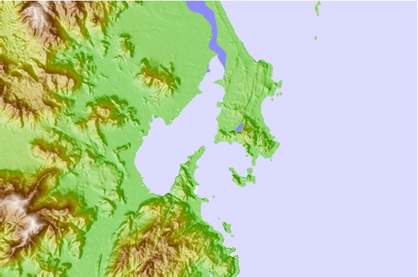
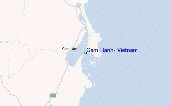
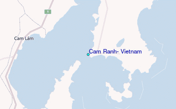
Use this relief map to navigate to tide stations, surf breaks and cities that are in the area of Cam Ranh, Vietnam.
Other Nearby Locations' tide tables and tide charts to Cam Ranh, Vietnam:
click location name for more details
 Surf breaks close to Cam Ranh, Vietnam:
|
||
|---|---|---|
| Closest surf break | Bai Dai Nha Trang | 16 mi |
| Second closest surf break | Dark Reef | 19 mi |
| Third closest surf break | Hon Chong Beach Break | 27 mi |
| Fourth closest surf break | Mui Ne | 90 mi |
| Fifth closest surf break | Vung Tau (Back Beach) | 178 mi |


 Nearest
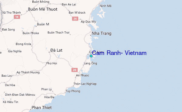