
| Distance / Altitude | Location | Report Date / Time | Live Weather | Wind | Gusts | Temp. | Visibility | Cloud |
|---|---|---|---|---|---|---|---|---|
| 8 km WSW / 61 m | OLF COUPEVILLE (WA) (United States) | 2026-06-21 16:46 local (2026/06/21 23:46 GMT) | Clear | light winds from the NW (11 km/h at 310) | 22°C | 16 | ||
| 19 km SW / 3 m | BUOY-PTWW1 (Marine) | 2026-06-21 18:00 local (2026/06/22 01:00 GMT) | light winds from the WSW (15 km/h at 250) | 18°C | - | |||
| 22 km NW / 218 m | Whidbey Island Airport (Washington) | 2026-06-21 16:53 local (2026/06/21 23:53 GMT) | - | light winds from the W (9 km/h at 260) | 16°C | 16 | few few | |
| 26 km SW / 37 m | Port Townsend Airport (Washington) (Washington) | 2026-06-21 17:35 local (2026/06/22 00:35 GMT) | Clear | light winds from the N (13 km/h at 350) | 23°C | 16 | ||
| 27 km E / 197 m | Arlington Municipal Airport (Washington) | 2026-06-21 16:56 local (2026/06/21 23:56 GMT) | Clear | light winds from the WNW (19 km/h at 290) | 23°C | 16 | ||
| 27 km E / 22 m | Arlington Junction wx (United States) | 2026-06-21 18:08 local (2026/06/22 01:08 GMT) | dry | calm (3 km/h at 264) | 25°C | - | - - 0 | |
| 28 km WNW / 3 m | BUOY-SISW1 (Marine) | 2026-06-21 18:20 local (2026/06/22 01:20 GMT) | light winds from the WNW (13 km/h at 290) | 13°C | - | |||
| 30 km S / 3 m | BUOY-46125 (Marine) | 2026-06-21 16:50 local (2026/06/21 23:50 GMT) | moderate winds from the N (22 km/h at 350) | 16°C | - | |||
| 31 km E / 43 m | Portage Green Mobile Home Court wx (United States) | 2026-06-21 18:00 local (2026/06/22 01:00 GMT) | dry | calm (3 km/h at 308) | 24°C | - | - - 0 | |
| 32 km N / 3 m | BUOY-PBFW1 (Marine) | 2026-06-21 17:30 local (2026/06/22 00:30 GMT) | light winds from the NW (8 km/h at 320) | 22°C | - |
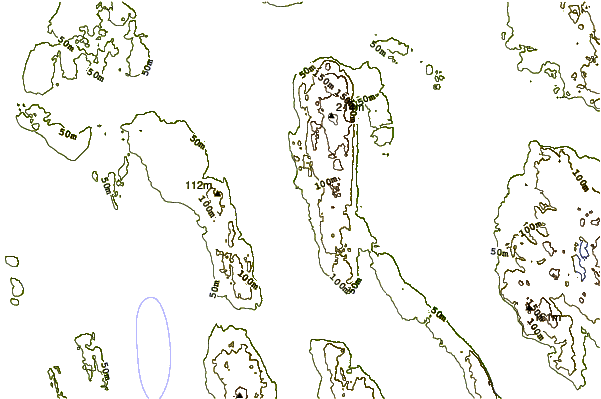
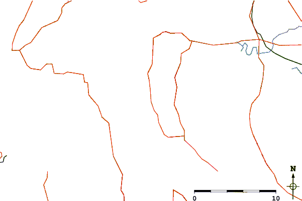
| Contours: | Roads & Rivers: | Select a
tide station / surf break / city |
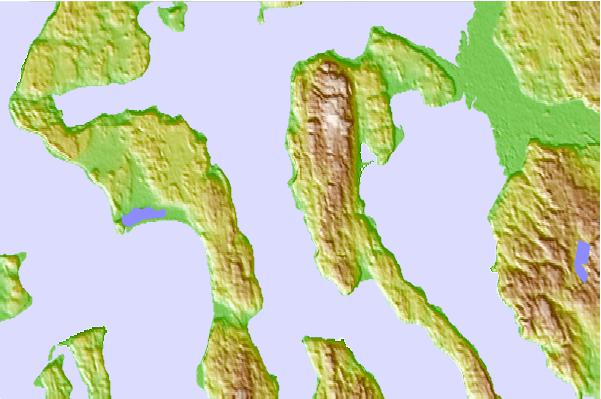
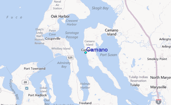
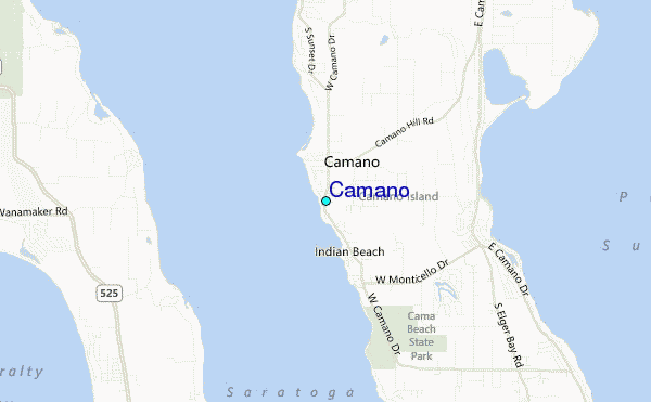
Use this relief map to navigate to tide stations, surf breaks and cities that are in the area of Camano.
Other Nearby Locations' tide tables and tide charts to Camano:
click location name for more details
 Surf breaks close to Camano:
|
||
|---|---|---|
| Closest surf break | Fort. Ebey | 12 mi |
| Second closest surf break | Super green | 35 mi |
| Third closest surf break | Elwha | 48 mi |
| Fourth closest surf break | Crescent | 55 mi |
| Fifth closest surf break | Whiskey Creek | 58 mi |


 Nearest
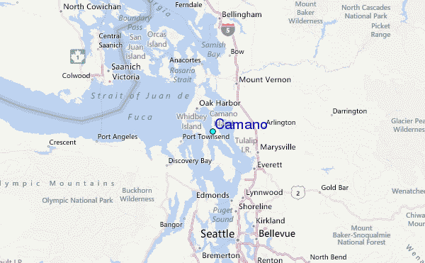