
| Distance / Altitude | Location | Report Date / Time | Live Weather | Wind | Gusts | Temp. | Visibility | Cloud |
|---|---|---|---|---|---|---|---|---|
| 9 km ENE / 337 m | Conakry/Gbessia-Internationa Airport (Guinea-bissau) | 2026-07-09 18:00 local (2026/07/09 18:00 GMT) | Thunderstorm - | moderate winds from the WNW (22 km/h at 290) | 29°C | 10.0 | broken few broken | |
| 16 km SSW / 0 m | lightning 16km SW of Camayenne (Guinea) | 2026-07-09 19:47 local (2026/07/09 19:47 GMT) | Thunderstorm | (- km/h at -) | — | |||
| 55 km N / 72 m | Kénendé wx (Guinea) | 2026-07-09 19:28 local (2026/07/09 19:28 GMT) | dry | wind obs. (8 kph from 88 degs) was rejected (- km/h at -) | — | - | - - 0 | |
| 116 km SSE / 273 m | Freetown/Lungi International Airport (Sierra Leone) | 2026-07-09 18:00 local (2026/07/09 18:00 GMT) | Dry and partly cloudy | moderate winds from the W (22 km/h at 270) | 27°C | 10.0 | broken few | |
| 336 km WNW / 397 m | Bissau Airport (Guinea-bissau) | 2026-07-09 18:00 local (2026/07/09 18:00 GMT) | Thunderstorm - | light winds from the W.(Wind varies from 210 to 290 degs) (11 km/h at 260) | 32°C | 9.0 | few few - | |
| 372 km NNE / 167 m | Kedougou Airport (Senegal) | 2026-07-09 18:00 local (2026/07/09 18:00 GMT) | - | wind obs. (11 kph from 170 degs) was rejected (- km/h at -) | 31°C | 10.0 | few | |
| 394 km NW / 10 m | Kolda Airport (Senegal) | 2026-07-09 18:00 local (2026/07/09 18:00 GMT) | Dry and partly cloudy | light winds from the SW (11 km/h at 220) | 35°C | 10.0 | scattered | |
| 437 km WNW / 482 m | Ziguinchor (Senegal) | 2026-07-09 18:00 local (2026/07/09 18:00 GMT) | Dry and partly cloudy | light winds from the NW (15 km/h at 320) | 33°C | 10.0 | broken | |
| 437 km WNW / 482 m | Ziguinchor Airport (Senegal) | 2026-07-09 18:00 local (2026/07/09 18:00 GMT) | Dry and partly cloudy | light winds from the NW (15 km/h at 320) | 33°C | 10.0 | broken | |
| 446 km W / 3 m | SHIP5039 (Marine) | 2026-07-09 18:00 local (2026/07/09 18:00 GMT) | - (- km/h at -) | — | - |
| Contours: | Roads & Rivers: | Select a
tide station / surf break / city |
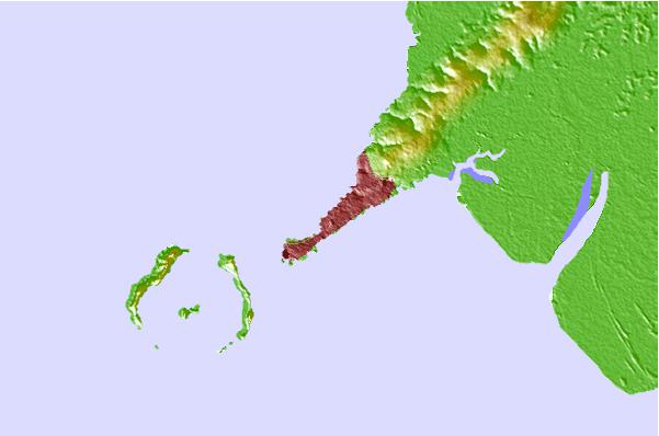
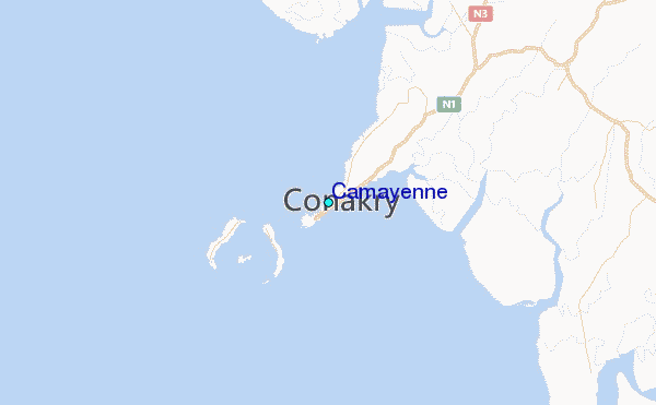
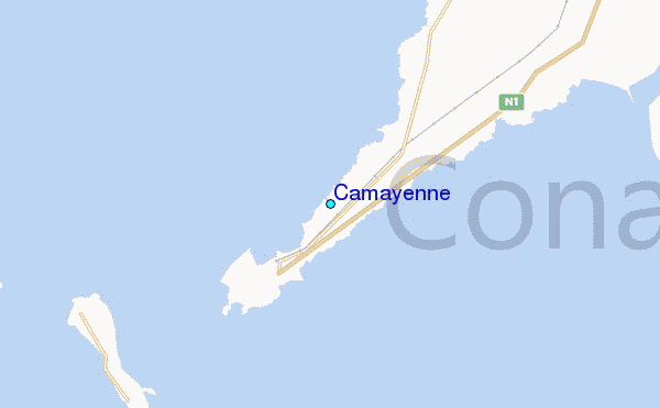
Use this relief map to navigate to tide stations, surf breaks and cities that are in the area of Camayenne.
Other Nearby Locations' tide tables and tide charts to Camayenne:
click location name for more details
 Surf breaks close to Camayenne:
|
||
|---|---|---|
| Closest surf break | Aberdeen Area Beach | 77 mi |
| Second closest surf break | River No. 2 | 89 mi |
| Third closest surf break | Burreh Beach | 99 mi |
| Fourth closest surf break | Baki (Turtle Islands) | 140 mi |
| Fifth closest surf break | Baki (Turtle Islands) | 142 mi |


 Nearest
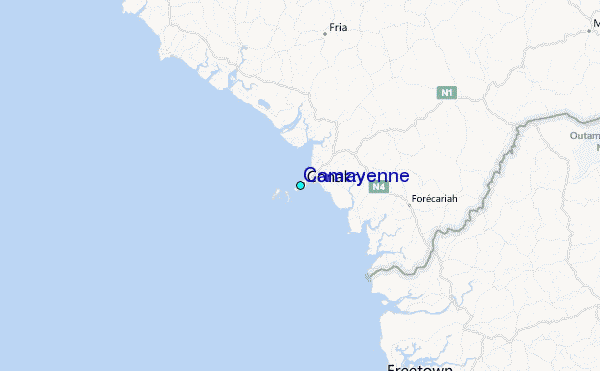