
| Distance / Altitude | Location | Report Date / Time | Live Weather | Wind | Gusts | Temp. | Visibility | Cloud |
|---|---|---|---|---|---|---|---|---|
| 102 km S / 66 m | Castanhal (Brazil) | 2026-07-09 19:00 local (2026/07/09 22:00 GMT) | no report | calm (0 km/h at 100) | 25°C | - | - | |
| 125 km S / 215 m | Belém/Val de Cães International Airport (Brazil) | 2026-07-09 18:00 local (2026/07/09 21:00 GMT) | Shower - in the vicinity | light winds from the E (11 km/h at 90) | 26°C | 10.0 | broken few few | |
| 128 km S / 16 m | Belem (Aero) (Brazil) | 2026-07-09 19:00 local (2026/07/09 22:00 GMT) | mist | light winds from the E (13 km/h at 90) | 25°C | 9 | - - - | |
| 146 km ESE / 34 m | Braganca (81685 -0) (Brazil) | 2026-07-09 19:00 local (2026/07/09 22:00 GMT) | no report | calm (4 km/h at 120) | 25°C | - | - | |
| 317 km ESE / 42 m | Turiacu (81687 -0) (Brazil) | 2026-07-09 19:00 local (2026/07/09 22:00 GMT) | no report | calm (0 km/h at 120) | 27°C | - | - | |
| 350 km WSW / 215 m | Macapa International Airport (Brazil) | 2026-07-09 18:00 local (2026/07/09 21:00 GMT) | - | light winds from the ENE (17 km/h at 70) | 30°C | 10.0 | few | |
| 354 km WSW / 17 m | Macapa (Aero) (Brazil) | 2026-07-09 19:00 local (2026/07/09 22:00 GMT) | no report | wind obs. (6 kph from 310 degs) was rejected (- km/h at -) | 25°C | 20 | - - - | |
| 394 km NNE / 3 m | SHIP795 (Marine) | 2026-07-09 18:00 local (2026/07/09 21:00 GMT) | moderate winds from the SE (28 km/h at 140) | 29°C | 20.4 | |||
| 394 km NNE / 15 m | SHIP2817 (Marine) | 2026-07-09 18:00 local (2026/07/09 21:00 GMT) | moderate winds from the SE (27.720000000000002 km/h at 140) | 28°C | 17.7 km | |||
| 394 km NNE / 3 m | SHIP359 (Marine) | 2026-07-09 18:00 local (2026/07/09 21:00 GMT) | moderate winds from the SE (28 km/h at 140) | 29°C | 20.4 |
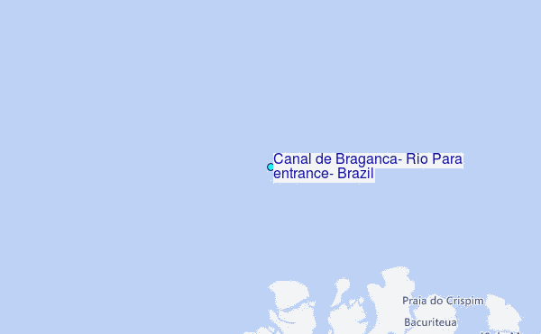
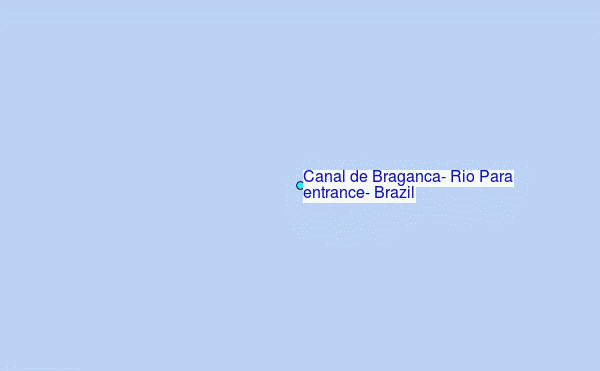
Choose Canal de Braganca, Rio Para entrance, Brazil Location Map Zoom:
| Contours: | Roads & Rivers: | Select a
tide station / surf break / city |


Use this relief map to navigate to tide stations, surf breaks and cities that are in the area of Canal de Braganca, Rio Pará entrance, Brazil.
Other Nearby Locations' tide tables and tide charts to Canal de Braganca, Rio Para entrance, Brazil:
click location name for more details
 Surf breaks close to Canal de Braganca, Rio Para entrance, Brazil:
|
||
|---|---|---|
| Closest surf break | Araruna | 45 mi |
| Second closest surf break | Ponta d'Areia | 287 mi |
| Third closest surf break | Ponta do Farol | 288 mi |
| Fourth closest surf break | Praia de Sao Marcos | 288 mi |
| Fifth closest surf break | Praia do Calhau | 290 mi |


 Nearest
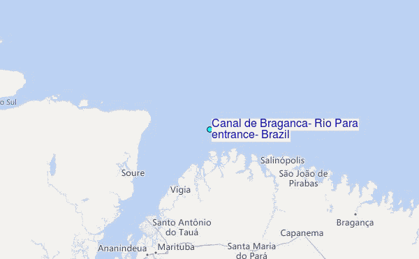