
| Distance / Altitude | Location | Report Date / Time | Live Weather | Wind | Gusts | Temp. | Visibility | Cloud |
|---|---|---|---|---|---|---|---|---|
| 173 km NE / 206 m | Laayoune/Hassan Island Airport (Morocco) | 2026-07-09 22:00 local (2026/07/09 21:00 GMT) | Dry and partly cloudy | moderate winds from the NNE (28 km/h at 30) | 23°C | 7.0 | no significant cloud - - | |
| 212 km NW / 70 m | Maspalomas (Spain) | 2026-07-09 23:34 local (2026/07/09 22:34 GMT) | dry | calm (0 km/h at 293) | 22°C | - | - - 0 | |
| 217 km NW / 216 m | Las Palmas/Gran Canaria Airport (Spain) | 2026-07-09 22:30 local (2026/07/09 21:30 GMT) | - | strong winds from the N (44 km/h at 10) | 23°C | 10.0 | few | |
| 219 km NW / 47 m | Las Palmas DE Gran Canaria/Gando (Spain) | 2026-07-09 22:00 local (2026/07/09 21:00 GMT) | no report | wind obs. (52 kph from 20 degs) was rejected (- km/h at -) | 24°C | - | - | |
| 264 km NNE / 533 m | Fuerteventura AR Airport (Spain) | 2026-07-09 22:00 local (2026/07/09 21:00 GMT) | no report | fresh winds from the N (33 km/h at 350) | 23°C | 10.0 | few - - | |
| 266 km NNE / 30 m | Fuerteventura Airport (Spain) | 2026-07-09 22:00 local (2026/07/09 21:00 GMT) | no report | wind obs. (33 kph from 40 degs) was rejected (- km/h at -) | 23°C | 19 | - | |
| 289 km ENE / 110 m | Smara (Morocco) | 2026-07-09 23:00 local (2026/07/09 22:00 GMT) | - | fresh winds from the N (30 km/h at 10) | — | 10 | - - - | |
| 294 km S / 0 m | La Tour d'Eole (Western Sahara) | 2026-07-09 23:00 local (2026/07/09 22:00 GMT) | - | wind obs. (54 kph from 120 degs) was rejected (- km/h at -) | 21°C | - | - - 0 | |
| 296 km WNW / 217 m | Tenerife Sur/Reina Sofia Airport (Spain) | 2026-07-09 22:30 local (2026/07/09 21:30 GMT) | no report | strong winds from the ENE (43 km/h at 70) | 25°C | 10.0 | few - - | |
| 297 km WNW / 160 m | ElVallito- Tenerife (Spain) | 2026-07-09 23:00 local (2026/07/09 22:00 GMT) | - | light winds from the W (7 km/h at 274) | 21°C | - | - - 0 |
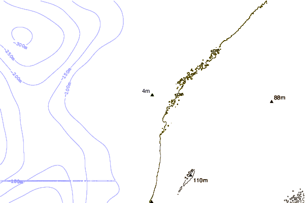
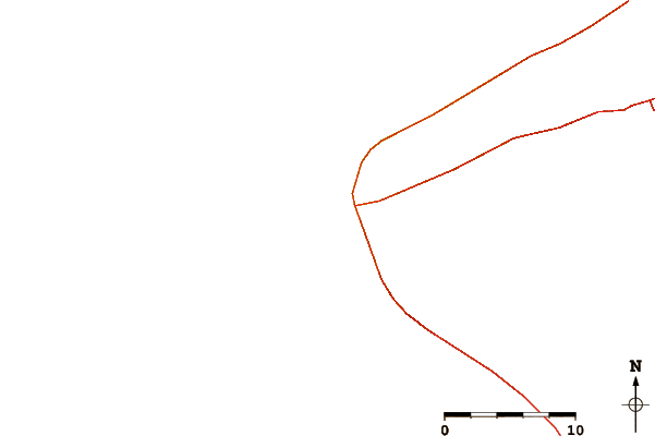
| Contours: | Roads & Rivers: | Select a
tide station / surf break / city |
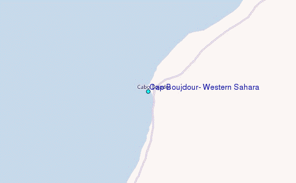
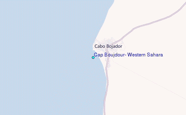
Use this relief map to navigate to tide stations, surf breaks and cities that are in the area of Cap Boujdour, Western Sahara.
Other Nearby Locations' tide tables and tide charts to Cap Boujdour, Western Sahara:
click location name for more details
 Surf breaks close to Cap Boujdour, Western Sahara:
|
||
|---|---|---|
| Closest surf break | Cape Boujdour | 1 mi |
| Second closest surf break | Maspalomas | 131 mi |
| Third closest surf break | Playa del Ingles | 131 mi |
| Fourth closest surf break | Pozo Izquierdo | 131 mi |
| Fifth closest surf break | Mosca Point | 131 mi |


 Nearest
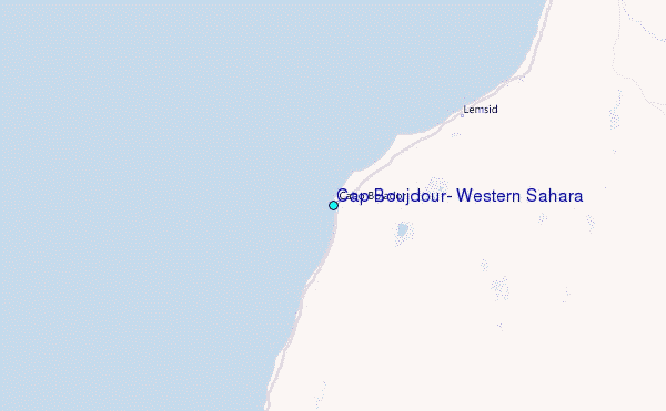