
| Distance / Altitude | Location | Report Date / Time | Live Weather | Wind | Gusts | Temp. | Visibility | Cloud |
|---|---|---|---|---|---|---|---|---|
| 24 km NNE / 3 m | BUOY-NEAW1 (Marine) | 2026-07-27 22:48 local (2026/07/28 05:48 GMT) | - (- km/h at -) | — | - | |||
| 27 km SSW / 3 m | BUOY-46119 (Marine) | 2026-07-27 21:55 local (2026/07/28 04:55 GMT) | - (- km/h at -) | 15°C | - | |||
| 29 km SSE / 3 m | BUOY-LAPW1 (Marine) | 2026-07-27 22:36 local (2026/07/28 05:36 GMT) | light winds from the SE (15 km/h at 140) | 15°C | - | |||
| 29 km SSE / 218 m | Quillayute Airport (Washington) | 2026-07-27 22:13 local (2026/07/28 05:13 GMT) | Light rain | wind obs. (9 kph from 210 degs) was rejected (- km/h at -) | 15°C | 8 | few broken | |
| 31 km SE / 91 m | Forks (Washington) | 2026-07-27 22:26 local (2026/07/28 05:26 GMT) | dry | calm (0 km/h at 171) | 16°C | - | - - 0 | |
| 36 km NE / 3 m | SHIP9402 (Marine) | 2026-07-27 23:00 local (2026/07/28 06:00 GMT) | light winds from the WSW (18 km/h at 250) | 16°C | 20.4 | |||
| 36 km N / 3 m | Neah Bay Buoy (Marine) | 2026-07-27 22:50 local (2026/07/28 05:50 GMT) | light winds from the E (11 km/h at 100) | 14°C | - | |||
| 56 km ENE / 15 m | SHIP1900 (Marine) | 2026-07-27 22:00 local (2026/07/28 05:00 GMT) | fresh winds from the NNW (29.52 km/h at 330) | 16°C | 17.7 km | |||
| 57 km SSE / 3 m | BUOY-DESW1 (Marine) | 2026-07-27 23:00 local (2026/07/28 06:00 GMT) | - (30 km/h at -) | — | - | |||
| 64 km ENE / 15 m | SHIP5362 (Marine) | 2026-07-27 22:00 local (2026/07/28 05:00 GMT) | moderate winds from the NNW (27.720000000000002 km/h at 340) | 9°C | - km |
| Contours: | Roads & Rivers: | Select a
tide station / surf break / city |
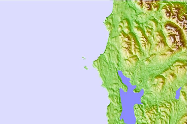
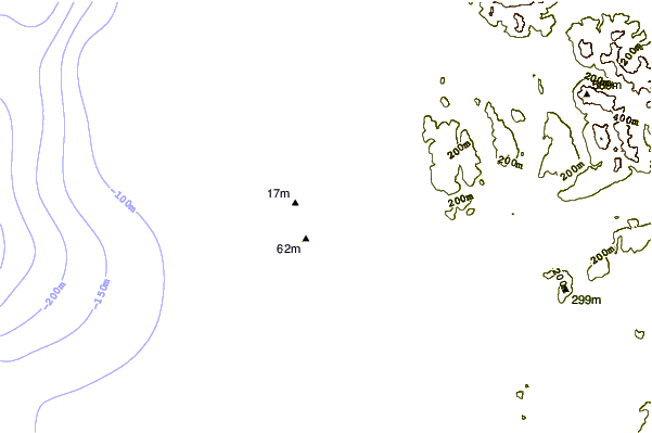
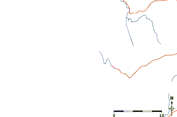
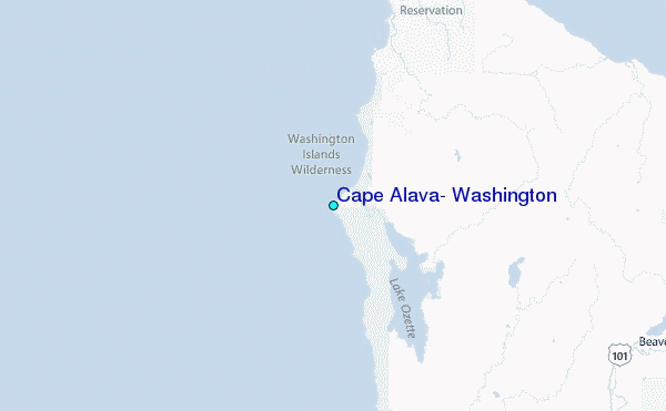
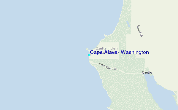
Use this relief map to navigate to tide stations, surf breaks and cities that are in the area of Cape Alava, Washington.
Other Nearby Locations' tide tables and tide charts to Cape Alava, Washington:
click location name for more details
 Surf breaks close to Cape Alava, Washington:
|
||
|---|---|---|
| Closest surf break | Hobuck/North Coast | 11 mi |
| Second closest surf break | Neah Bay | 15 mi |
| Third closest surf break | The Dump | 16 mi |
| Fourth closest surf break | The Strait | 16 mi |
| Fifth closest surf break | La Push | 19 mi |


 Nearest
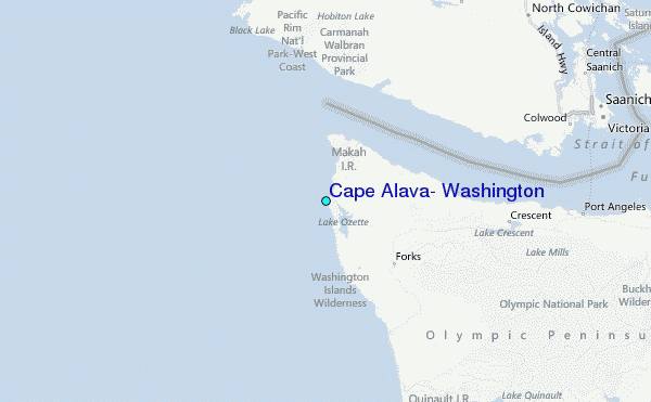