
| Distance / Altitude | Location | Report Date / Time | Live Weather | Wind | Gusts | Temp. | Visibility | Cloud |
|---|---|---|---|---|---|---|---|---|
| 39 km ENE / 506 m | Adak Naval Air Station Airport (Alaska) | 2026-06-23 17:10 local (2026/06/24 02:10 GMT) | Dry and cloudy | calm (0 km/h at 0) | 8°C | 16 | broken overcast | |
| 39 km ENE / 3 m | BUOY-ADKA2 (Marine) | 2026-06-23 17:48 local (2026/06/24 02:48 GMT) | light winds from the SE (17 km/h at 140) | — | - | |||
| 210 km ENE / 211 m | Atka Airport (Alaska) | 2026-06-23 16:56 local (2026/06/24 01:56 GMT) | Light rain | light winds from the ESE (17 km/h at 120) | 8°C | 16 | overcast | |
| 212 km ENE / 3 m | BUOY-ATKA2 (Marine) | 2026-06-23 17:48 local (2026/06/24 02:48 GMT) | light winds from the SSE (15 km/h at 150) | — | - | |||
| 227 km SW / 3 m | Western Aleutians Buoy (Marine) | 2026-06-23 17:50 local (2026/06/24 02:50 GMT) | light winds from the E (18 km/h at 90) | 6°C | - | |||
| 346 km E / 3 m | Central Aleutians Buoy (Marine) | 2026-06-23 17:50 local (2026/06/24 02:50 GMT) | fresh winds from the E (29 km/h at 100) | 7°C | - | |||
| 506 km NE / 3 m | Southeast Bering Sea Buoy (Marine) | 2026-06-23 17:50 local (2026/06/24 02:50 GMT) | light winds from the ESE (18 km/h at 110) | 7°C | - | |||
| 528 km SE / 15 m | SHIP7020 (Marine) | 2026-06-23 16:00 local (2026/06/24 01:00 GMT) | - (- km/h at -) | — | - km | |||
| 528 km SE / 15 m | SHIP1621 (Marine) | 2026-06-23 16:00 local (2026/06/24 01:00 GMT) | - (- km/h at -) | — | - km | |||
| 528 km SE / 3 m | SHIP8030 (Marine) | 2026-06-23 16:00 local (2026/06/24 01:00 GMT) | - (- km/h at -) | 8°C | - |
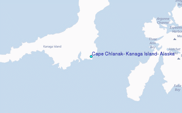
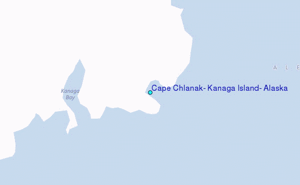
Choose Cape Chlanak, Kanaga Island, Alaska Location Map Zoom:
| Contours: | Roads & Rivers: | Select a
tide station / surf break / city |
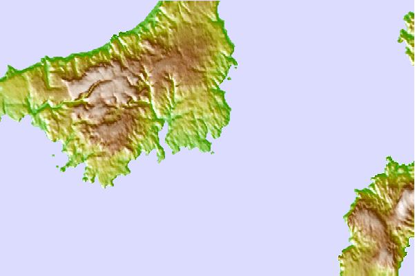
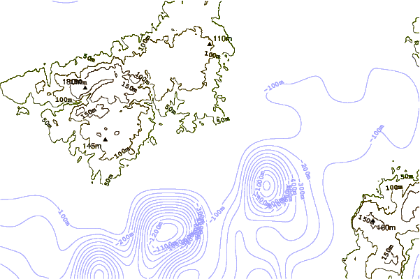

Use this relief map to navigate to tide stations, surf breaks and cities that are in the area of Cape Chlanak, Kanaga Island, Alaska.
Other Nearby Locations' tide tables and tide charts to Cape Chlanak, Kanaga Island, Alaska:
click location name for more details
 Surf breaks close to Cape Chlanak, Kanaga Island, Alaska:
|
||
|---|---|---|
| Closest surf break | Khalaktyrsky Beach | 1012 mi |
| Second closest surf break | Fossil Beach Kodiak | 1062 mi |
| Third closest surf break | Monashka Bay | 1065 mi |
| Fourth closest surf break | Termination Point | 1066 mi |
| Fifth closest surf break | Mill Bay | 1068 mi |


 Nearest
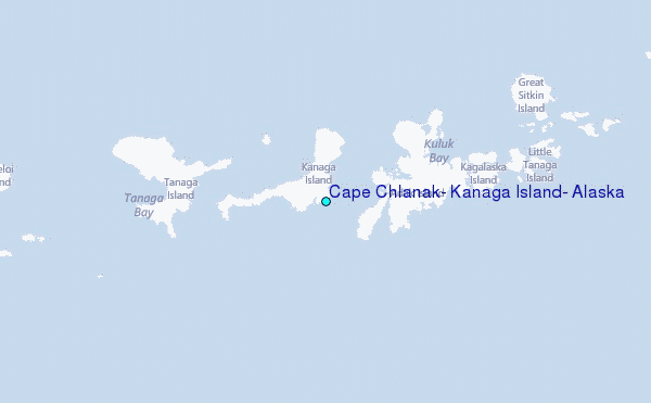