
| Distance / Altitude | Location | Report Date / Time | Live Weather | Wind | Gusts | Temp. | Visibility | Cloud |
|---|---|---|---|---|---|---|---|---|
| 15 km S / 219 m | Falmouth/Otis Air Base Airport (Massachusetts) | 2026-07-07 08:56 local (2026/07/07 12:56 GMT) | Light rain | moderate winds from the E (28 km/h at 100) | 23°C | 6 | overcast | |
| 17 km ENE / 3 m | Cape Cod Bay- MA (Marine) | 2026-07-07 09:30 local (2026/07/07 13:30 GMT) | - (- km/h at -) | — | - | |||
| 21 km S / 3 m | BUOY-WAXM3 (Marine) | 2026-07-07 08:00 local (2026/07/07 12:00 GMT) | light winds from the E (11 km/h at 90) | 20°C | - | |||
| 23 km ESE / 217 m | Hyannis Airport (Massachusetts) | 2026-07-07 09:31 local (2026/07/07 13:31 GMT) | Light rain | light winds from the E (13 km/h at 80) | 19°C | 6 | overcast | |
| 25 km WNW / 209 m | Plymouth Airport (Massachusetts) | 2026-07-07 09:38 local (2026/07/07 13:38 GMT) | Dry and cloudy | light winds from the NE (11 km/h at 50) | 19°C | 16 | overcast | |
| 31 km S / 3 m | BUOY-BZBM3 (Marine) | 2026-07-07 09:30 local (2026/07/07 13:30 GMT) | - (- km/h at -) | 20°C | - | |||
| 34 km NW / 20 m | Duxbury (Massachusetts) | 2026-07-07 09:35 local (2026/07/07 13:35 GMT) | dry | calm (2 km/h at 41) | 18°C | - | - - 0 | |
| 36 km SSE / 3 m | Nantucket Sound Buoy (Marine) | 2026-07-07 10:00 local (2026/07/07 14:00 GMT) | strong winds from the E (40 km/h at 80) | 19°C | - | |||
| 37 km SW / 29 m | Mount Pleasant wx (United States) | 2026-07-07 10:18 local (2026/07/07 14:18 GMT) | dry | calm (3 km/h at 24) | 18°C | - | - - 0 | |
| 38 km SW / 3 m | BUOY-NBGM3 (Marine) | 2026-07-07 09:30 local (2026/07/07 13:30 GMT) | moderate winds from the NE (21 km/h at 50) | 19°C | - |
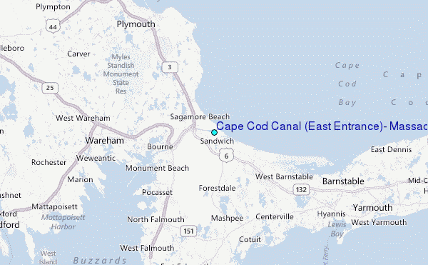
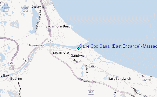
Choose Cape Cod Canal (East Entrance), Massachusetts Location Map Zoom:
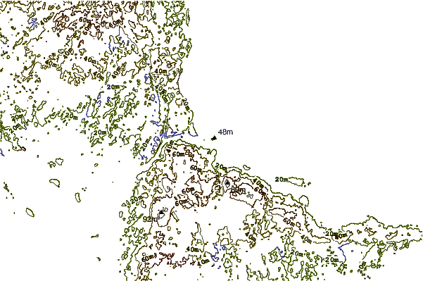
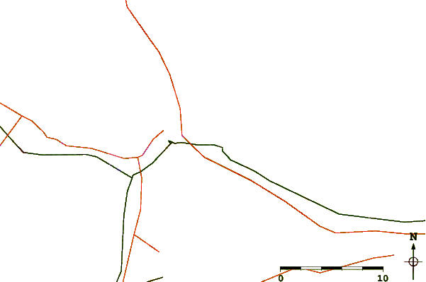
| Contours: | Roads & Rivers: | Select a
tide station / surf break / city |
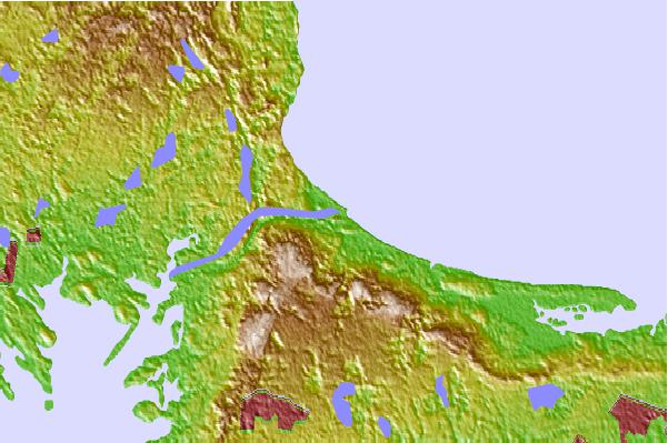
Use this relief map to navigate to tide stations, surf breaks and cities that are in the area of Cape Cod Canal (East Entrance), Massachusetts.
Other Nearby Locations' tide tables and tide charts to Cape Cod Canal (East Entrance), Massachusetts:
click location name for more details
 Surf breaks close to Cape Cod Canal (East Entrance), Massachusetts:
|
||
|---|---|---|
| Closest surf break | Green Harbor | 22 mi |
| Second closest surf break | Marshfield Jetty | 22 mi |
| Third closest surf break | Brant Rock | 24 mi |
| Fourth closest surf break | Fieldstone | 26 mi |
| Fifth closest surf break | Rexham | 28 mi |


 Nearest
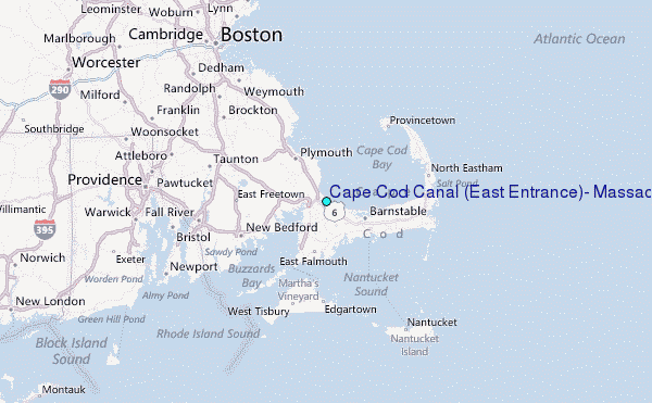