
| Distance / Altitude | Location | Report Date / Time | Live Weather | Wind | Gusts | Temp. | Visibility | Cloud |
|---|---|---|---|---|---|---|---|---|
| 76 km SSW / 3 m | BUOY-AKXA2 (Marine) | 2026-06-20 17:32 local (2026/06/21 01:32 GMT) | light winds from the NW (11 km/h at 320) | 10°C | - | |||
| 101 km ENE / 6 m | False Pass Airport (Alaska) | 2026-06-20 15:56 local (2026/06/20 23:56 GMT) | Dry and partly cloudy | moderate winds from the N (24 km/h at 360) | 11°C | 16 | scattered | |
| 130 km SSW / 209 m | Dutch Harbor Airport (Alaska) | 2026-06-20 15:56 local (2026/06/20 23:56 GMT) | Dry and partly cloudy | moderate winds from the N (20 km/h at 360) | 9°C | 16 | few scattered broken | |
| 131 km SSW / 3 m | BUOY-DPLA2 (Marine) | 2026-06-20 17:32 local (2026/06/21 01:32 GMT) | light winds from the N (15 km/h at 360) | 9°C | - | |||
| 131 km SSW / 3 m | BUOY-DPXA2 (Marine) | 2026-06-20 17:32 local (2026/06/21 01:32 GMT) | light winds from the NNW (17 km/h at 330) | 10°C | - | |||
| 132 km SSW / 3 m | BUOY-UNLA2 (Marine) | 2026-06-20 17:00 local (2026/06/21 01:00 GMT) | light winds from the N (17 km/h at 350) | — | - | |||
| 137 km SSW / 3 m | BUOY-CPXA2 (Marine) | 2026-06-20 17:32 local (2026/06/21 01:32 GMT) | moderate winds from the N (26 km/h at 10) | 9°C | - | |||
| 157 km ENE / 161 m | Cold Bay Airport (Alaska) | 2026-06-20 16:18 local (2026/06/21 00:18 GMT) | Dry and cloudy | moderate winds from the NNW (20 km/h at 330) | 7°C | 16 | overcast | |
| 175 km ENE / 3 m | SHIP6153 (Marine) | 2026-06-20 15:00 local (2026/06/20 23:00 GMT) | - (- km/h at -) | — | - | |||
| 175 km ENE / 15 m | SHIP2430 (Marine) | 2026-06-20 17:00 local (2026/06/21 01:00 GMT) | - (- km/h at -) | — | - km |
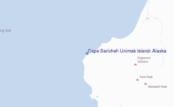
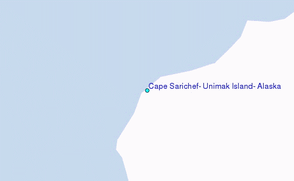
Choose Cape Sarichef, Unimak Island, Alaska Location Map Zoom:
| Contours: | Roads & Rivers: | Select a
tide station / surf break / city |
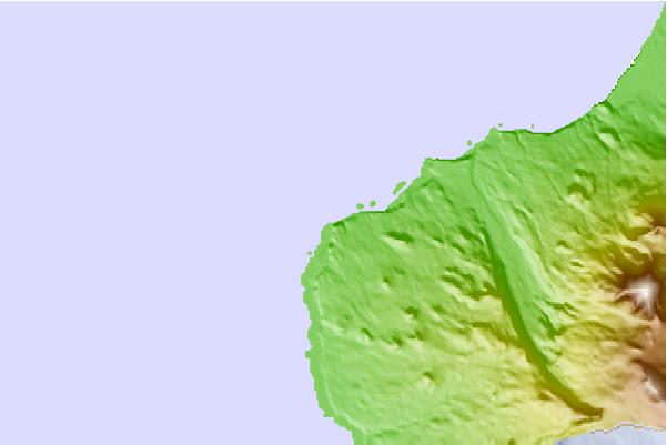
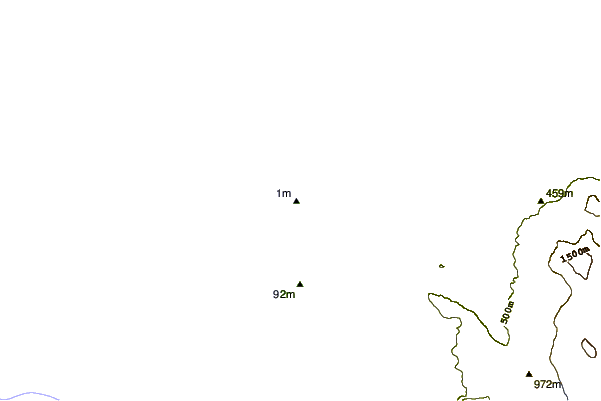
Use this relief map to navigate to tide stations, surf breaks and cities that are in the area of Cape Sarichef, Unimak Island, Alaska.
Other Nearby Locations' tide tables and tide charts to Cape Sarichef, Unimak Island, Alaska:
click location name for more details
 Surf breaks close to Cape Sarichef, Unimak Island, Alaska:
|
||
|---|---|---|
| Closest surf break | Fossil Beach Kodiak | 523 mi |
| Second closest surf break | Monashka Bay | 529 mi |
| Third closest surf break | Termination Point | 530 mi |
| Fourth closest surf break | Mill Bay | 531 mi |
| Fifth closest surf break | Bird Point (Tidal Bore) | 653 mi |


 Nearest
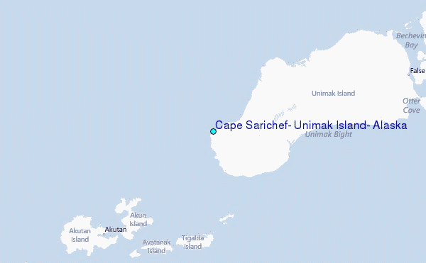