
| Distance / Altitude | Location | Report Date / Time | Live Weather | Wind | Gusts | Temp. | Visibility | Cloud |
|---|---|---|---|---|---|---|---|---|
| 11 km N / 211 m | Atka Airport (Alaska) | 2026-06-23 16:56 local (2026/06/24 01:56 GMT) | Light rain | light winds from the ESE (17 km/h at 120) | 8°C | 16 | overcast | |
| 13 km N / 3 m | BUOY-ATKA2 (Marine) | 2026-06-23 17:48 local (2026/06/24 02:48 GMT) | light winds from the SSE (15 km/h at 150) | — | - | |||
| 150 km ESE / 3 m | Central Aleutians Buoy (Marine) | 2026-06-23 17:50 local (2026/06/24 02:50 GMT) | fresh winds from the E (29 km/h at 100) | 7°C | - | |||
| 170 km WSW / 506 m | Adak Naval Air Station Airport (Alaska) | 2026-06-23 17:10 local (2026/06/24 02:10 GMT) | Dry and cloudy | calm (0 km/h at 0) | 8°C | 16 | broken overcast | |
| 170 km WSW / 3 m | BUOY-ADKA2 (Marine) | 2026-06-23 17:48 local (2026/06/24 02:48 GMT) | light winds from the SE (17 km/h at 140) | — | - | |||
| 355 km NNE / 3 m | Southeast Bering Sea Buoy (Marine) | 2026-06-23 17:50 local (2026/06/24 02:50 GMT) | light winds from the ESE (18 km/h at 110) | 7°C | - | |||
| 374 km ENE / 3 m | BUOY-NKLA2 (Marine) | 2026-06-23 18:02 local (2026/06/24 03:02 GMT) | gales from the E (71 km/h at 80) | — | - | |||
| 435 km SW / 3 m | Western Aleutians Buoy (Marine) | 2026-06-23 17:50 local (2026/06/24 02:50 GMT) | light winds from the E (18 km/h at 90) | 6°C | - | |||
| 488 km S / 15 m | SHIP7020 (Marine) | 2026-06-23 16:00 local (2026/06/24 01:00 GMT) | - (- km/h at -) | — | - km | |||
| 488 km S / 15 m | SHIP1621 (Marine) | 2026-06-23 16:00 local (2026/06/24 01:00 GMT) | - (- km/h at -) | — | - km |
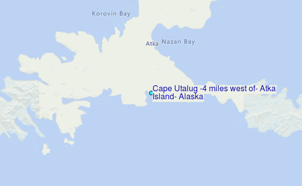
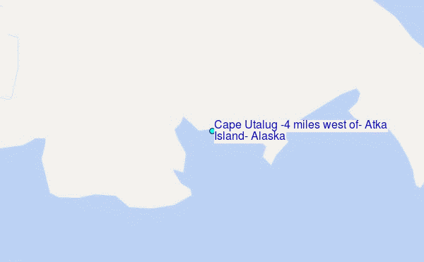
Choose Cape Utalug (4 miles west of), Atka Island, Alaska Location Map Zoom:
| Contours: | Roads & Rivers: | Select a
tide station / surf break / city |
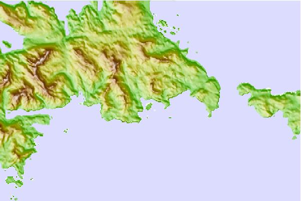
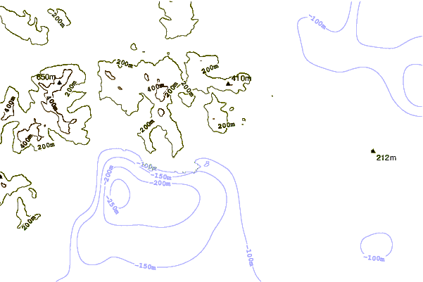
Use this relief map to navigate to tide stations, surf breaks and cities that are in the area of Cape Utalug (4 miles west of), Atka Island, Alaska.
Other Nearby Locations' tide tables and tide charts to Cape Utalug (4 miles west of), Atka Island, Alaska:
click location name for more details
 Surf breaks close to Cape Utalug (4 miles west of), Atka Island, Alaska:
|
||
|---|---|---|
| Closest surf break | Fossil Beach Kodiak | 940 mi |
| Second closest surf break | Monashka Bay | 944 mi |
| Third closest surf break | Termination Point | 946 mi |
| Fourth closest surf break | Mill Bay | 947 mi |
| Fifth closest surf break | Bird Point (Tidal Bore) | 1047 mi |


 Nearest
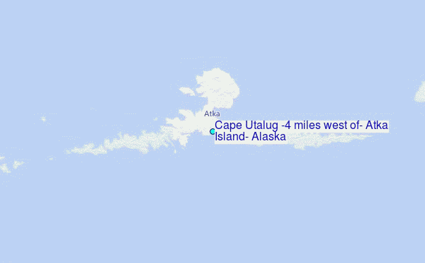