
| Distance / Altitude | Location | Report Date / Time | Live Weather | Wind | Gusts | Temp. | Visibility | Cloud |
|---|---|---|---|---|---|---|---|---|
| 59 km SE / 0 m | lightning 94km SE of Nueva Gerona (Cuba) | 2026-07-09 16:02 local (2026/07/09 20:02 GMT) | Thunderstorm | (- km/h at -) | — | |||
| 93 km W / 0 m | lightning 57km S of San Luis (Cuba) | 2026-07-09 15:50 local (2026/07/09 19:50 GMT) | Thunderstorm | (- km/h at -) | — | |||
| 147 km ENE / 0 m | lightning 93km SSW of Jaguey Grande (Cuba) | 2026-07-09 14:15 local (2026/07/09 18:15 GMT) | Thunderstorm | (- km/h at -) | — | |||
| 153 km E / 0 m | lightning 108km SW of Aguada de Pasajeros (Cuba) | 2026-07-09 14:16 local (2026/07/09 18:16 GMT) | Thunderstorm | (- km/h at -) | — | |||
| 160 km NNE / 38 m | lightning 6km SSW of La Salud (Cuba) | 2026-07-09 15:30 local (2026/07/09 19:30 GMT) | Thunderstorm | (- km/h at -) | — | |||
| 163 km NNE / 52 m | lightning 4km SE of San Antonio de los Banos (Cuba) | 2026-07-09 15:33 local (2026/07/09 19:33 GMT) | Thunderstorm | (- km/h at -) | — | |||
| 166 km N / 18 m | lightning 13km NE of Bahia Honda (Cuba) | 2026-07-09 16:01 local (2026/07/09 20:01 GMT) | Thunderstorm | (- km/h at -) | — | |||
| 171 km NNE / 80 m | lightning 4km WSW of Bauta (Cuba) | 2026-07-09 15:32 local (2026/07/09 19:32 GMT) | Thunderstorm | (- km/h at -) | — | |||
| 174 km NNE / 110 m | thunderstorm affecting Bejucal (Cuba) | 2026-07-09 15:17 local (2026/07/09 19:17 GMT) | Thunderstorm | (- km/h at -) | — | |||
| 176 km N / 0 m | lightning 13km WNW of Cabanas (Cuba) | 2026-07-09 15:33 local (2026/07/09 19:33 GMT) | Thunderstorm | (- km/h at -) | — |
| Contours: | Roads & Rivers: | Select a
tide station / surf break / city |
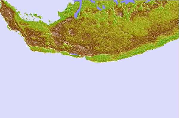
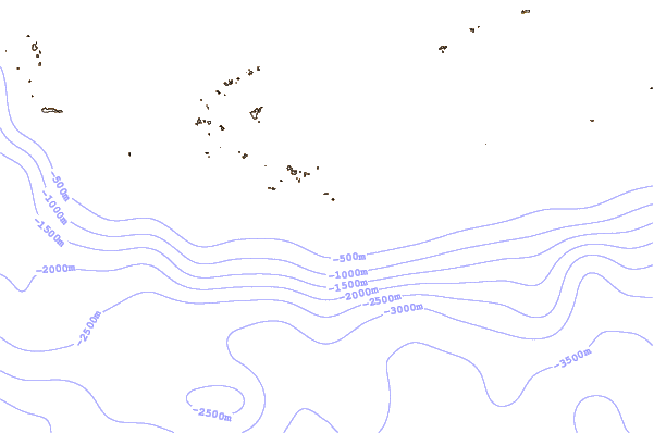
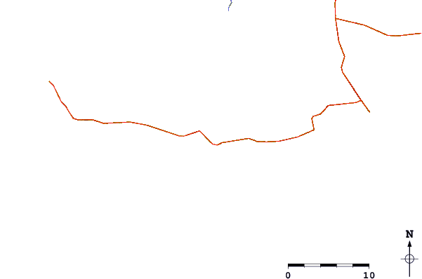
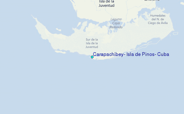
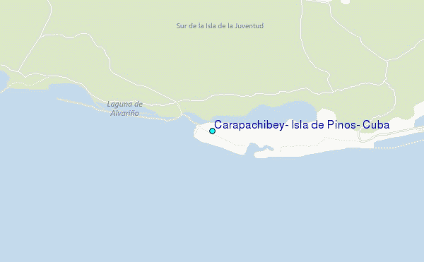
Use this relief map to navigate to tide stations, surf breaks and cities that are in the area of Carapachibey, Isla de Pinos, Cuba.
Other Nearby Locations' tide tables and tide charts to Carapachibey, Isla de Pinos, Cuba:
click location name for more details
 Surf breaks close to Carapachibey, Isla de Pinos, Cuba:
|
||
|---|---|---|
| Closest surf break | 7 Mile Beach | 177 mi |
| Second closest surf break | South Sound | 181 mi |
| Third closest surf break | East End | 190 mi |
| Fourth closest surf break | Naples Pier | 328 mi |
| Fifth closest surf break | Wiggins Pass | 341 mi |


 Nearest
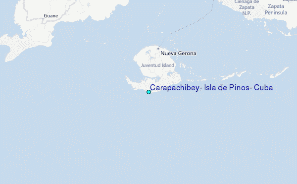