
| Distance / Altitude | Location | Report Date / Time | Live Weather | Wind | Gusts | Temp. | Visibility | Cloud |
|---|---|---|---|---|---|---|---|---|
| 9 km SSW / 3 m | BUOY-MDKF1 (Marine) | 2026-07-28 07:00 local (2026/07/28 11:00 GMT) | - (- km/h at -) | — | - | |||
| 14 km NW / 216 m | Homestead Air Force Base Airport (Florida) | 2026-07-28 06:55 local (2026/07/28 10:55 GMT) | Dry and partly cloudy | light winds from the SSE (7 km/h at 160) | 26°C | 13 | scattered | |
| 15 km SSW / 3 m | BUOY-HCEF1 (Marine) | 2026-07-28 07:00 local (2026/07/28 11:00 GMT) | - (- km/h at -) | — | - | |||
| 15 km SSW / 3 m | BUOY-MNBF1 (Marine) | 2026-07-28 07:00 local (2026/07/28 11:00 GMT) | - (- km/h at -) | — | - | |||
| 17 km SSW / 3 m | BUOY-LSNF1 (Marine) | 2026-07-28 07:00 local (2026/07/28 11:00 GMT) | - (- km/h at -) | — | - | |||
| 17 km S / 3 m | BUOY-THRF1 (Marine) | 2026-07-28 07:00 local (2026/07/28 11:00 GMT) | - (- km/h at -) | — | - | |||
| 18 km S / 3 m | BUOY-LBSF1 (Marine) | 2026-07-28 07:00 local (2026/07/28 11:00 GMT) | - (- km/h at -) | — | - | |||
| 21 km S / 3 m | BUOY-BWSF1 (Marine) | 2026-07-28 07:00 local (2026/07/28 11:00 GMT) | - (- km/h at -) | — | - | |||
| 23 km NE / 1 m | lightning 16km E of Lakes by the Bay (United States) | 2026-07-28 05:46 local (2026/07/28 09:46 GMT) | Thunderstorm | (- km/h at -) | — | |||
| 24 km SSW / 3 m | BUOY-DKKF1 (Marine) | 2026-07-28 07:00 local (2026/07/28 11:00 GMT) | - (- km/h at -) | — | - |
| Contours: | Roads & Rivers: | Select a
tide station / surf break / city |
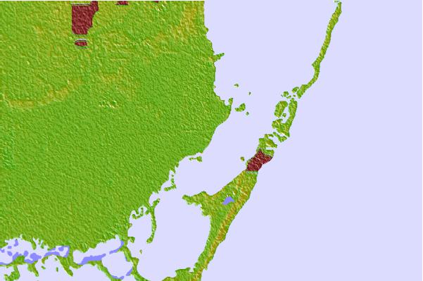
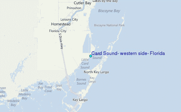
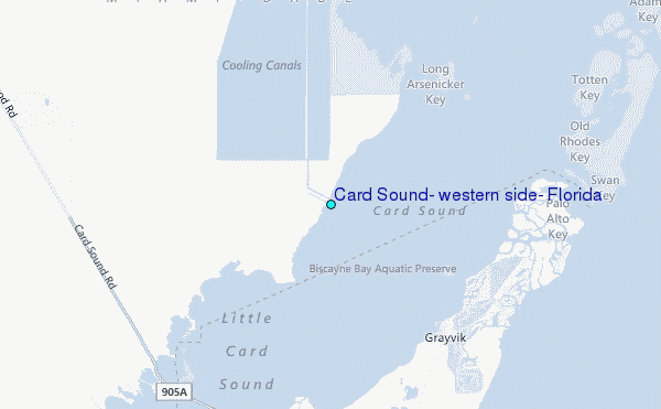
Use this relief map to navigate to tide stations, surf breaks and cities that are in the area of Card Sound, western side, Florida.
Other Nearby Locations' tide tables and tide charts to Card Sound, western side, Florida:
click location name for more details
 Surf breaks close to Card Sound, western side, Florida:
|
||
|---|---|---|
| Closest surf break | South Beach (Miami) | 32 mi |
| Second closest surf break | Fifth Street (Miami) | 32 mi |
| Third closest surf break | 21st Street (Miami) | 34 mi |
| Fourth closest surf break | Dunes Hotel (Miami) | 35 mi |
| Fifth closest surf break | Harbor House | 40 mi |


 Nearest
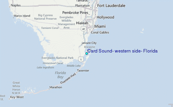