
| Distance / Altitude | Location | Report Date / Time | Live Weather | Wind | Gusts | Temp. | Visibility | Cloud |
|---|---|---|---|---|---|---|---|---|
| 34 km ENE / 49 m | Elim Aprt (Alaska) | 2026-06-23 17:56 local (2026/06/24 01:56 GMT) | Clear | light winds from the SSW (17 km/h at 210) | 19°C | 16 | ||
| 37 km WNW / 82 m | White Mountain Airport (Alaska) | 2026-06-23 17:56 local (2026/06/24 01:56 GMT) | Dry and partly cloudy | moderate winds from the SSW (22 km/h at 210) | 22°C | 14 | few broken | |
| 80 km E / 7 m | Shaktoolik Airport (Alaska) | 2026-06-23 17:56 local (2026/06/24 01:56 GMT) | Clear | light winds from the W (17 km/h at 260) | 17°C | 16 | ||
| 113 km ENE / 217 m | Koyuk Airport (Alaska) | 2026-06-23 17:56 local (2026/06/24 01:56 GMT) | Clear | light winds from the SSW (7 km/h at 200) | 21°C | 16 | ||
| 114 km SSE / 28 m | Saint-Michael Airport (Alaska) (Alaska) | 2026-06-23 17:56 local (2026/06/24 01:56 GMT) | Clear | light winds from the N (17 km/h at 350) | 17°C | 16 | ||
| 116 km WSW / 16 m | Nome (Alaska) | 2026-06-23 16:44 local (2026/06/24 00:44 GMT) | dry | light winds from the WSW (18 km/h at 251) | 22°C | - | - - 0 | |
| 116 km WSW / 11 m | Nome (Alaska) | 2026-06-23 18:04 local (2026/06/24 02:04 GMT) | dry | moderate winds from the WSW (21 km/h at 242) | 22°C | - | - - 0 | |
| 119 km ESE / 201 m | Unalakleet Airport (Alaska) | 2026-06-23 17:56 local (2026/06/24 01:56 GMT) | Dry and partly cloudy | light winds from the W (9 km/h at 260) | 17°C | 16 | broken | |
| 120 km ESE / 3 m | BUOY-ULRA2 (Marine) | 2026-06-23 18:30 local (2026/06/24 02:30 GMT) | - (- km/h at -) | — | - | |||
| 122 km WSW / 3 m | SHIP8121 (Marine) | 2026-06-23 17:00 local (2026/06/24 01:00 GMT) | - (- km/h at -) | — | - |
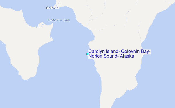
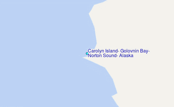
Choose Carolyn Island, Golovnin Bay, Norton Sound, Alaska Location Map Zoom:
| Contours: | Roads & Rivers: | Select a
tide station / surf break / city |
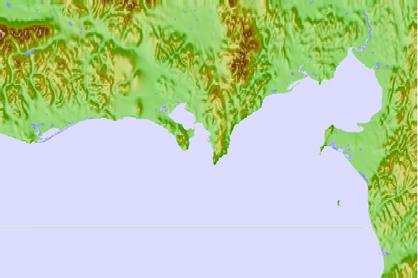
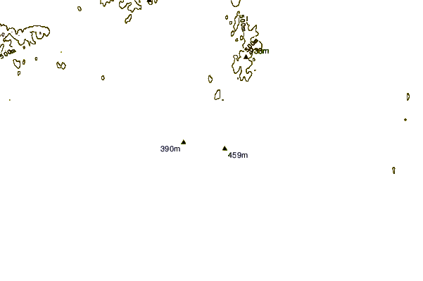
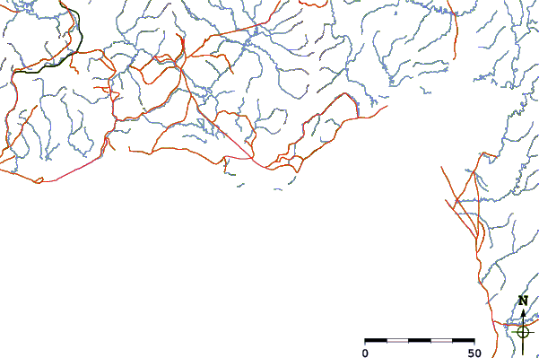
Use this relief map to navigate to tide stations, surf breaks and cities that are in the area of Carolyn Island, Golovnin Bay, Norton Sound, Alaska.
Other Nearby Locations' tide tables and tide charts to Carolyn Island, Golovnin Bay, Norton Sound, Alaska:
click location name for more details
 Surf breaks close to Carolyn Island, Golovnin Bay, Norton Sound, Alaska:
|
||
|---|---|---|
| Closest surf break | Bird Point (Tidal Bore) | 446 mi |
| Second closest surf break | Termination Point | 572 mi |
| Third closest surf break | Monashka Bay | 574 mi |
| Fourth closest surf break | Mill Bay | 576 mi |
| Fifth closest surf break | Fossil Beach Kodiak | 599 mi |


 Nearest
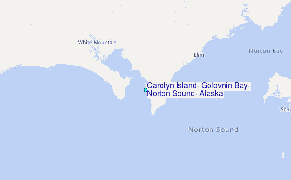