
| Distance / Altitude | Location | Report Date / Time | Live Weather | Wind | Gusts | Temp. | Visibility | Cloud |
|---|---|---|---|---|---|---|---|---|
| 34 km SSE / 182 m | Platinum (AK) Airport (United States) | 2026-06-23 18:40 local (2026/06/24 02:40 GMT) | Dry and cloudy | light winds from the N (9 km/h at 1) | 12°C | 16 | broken overcast | |
| 49 km N / 13 m | Quinhagak (AK) (Alaska) | 2026-06-23 18:13 local (2026/06/24 02:13 GMT) | Dry and cloudy | light winds from the SW (17 km/h at 220) | 14°C | 16 | few overcast | |
| 74 km S / 646 m | Cape Newenham Airport (Alaska) | 2026-06-23 18:26 local (2026/06/24 02:26 GMT) | Fog - | wind obs. (9 kph from 20 degs) was rejected (- km/h at -) | 9°C | 0 | few broken | |
| 94 km ESE / 194 m | Togiak Airport (Alaska) | 2026-06-23 17:56 local (2026/06/24 01:56 GMT) | - | moderate winds from the S (26 km/h at 180) | 14°C | 16 | few | |
| 97 km ESE / 3 m | BUOY-TGXA2 (Marine) | 2026-06-23 19:02 local (2026/06/24 03:02 GMT) | light winds from the SSW (17 km/h at 210) | — | - | |||
| 100 km ESE / 3 m | SHIP8919 (Marine) | 2026-06-23 19:00 local (2026/06/24 03:00 GMT) | - (- km/h at -) | 15°C | - | |||
| 111 km ESE / 15 m | SHIP6687 (Marine) | 2026-06-23 18:00 local (2026/06/24 02:00 GMT) | - (- km/h at -) | — | - km | |||
| 111 km ESE / 15 m | SHIP2567 (Marine) | 2026-06-23 18:00 local (2026/06/24 02:00 GMT) | - (- km/h at -) | — | - km | |||
| 111 km ESE / 15 m | SHIP1686 (Marine) | 2026-06-23 17:00 local (2026/06/24 01:00 GMT) | - (- km/h at -) | — | - km | |||
| 111 km ESE / 15 m | SHIP4569 (Marine) | 2026-06-23 17:00 local (2026/06/24 01:00 GMT) | - (- km/h at -) | — | - km |
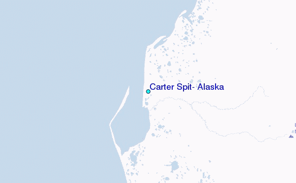
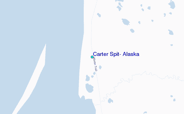
Other Nearby Locations' tide tables and tide charts to Carter Spit, Alaska:
click location name for more details
 Surf breaks close to Carter Spit, Alaska:
|
||
|---|---|---|
| Closest surf break | Monashka Bay | 358 mi |
| Second closest surf break | Termination Point | 358 mi |
| Third closest surf break | Mill Bay | 360 mi |
| Fourth closest surf break | Fossil Beach Kodiak | 371 mi |
| Fifth closest surf break | Bird Point (Tidal Bore) | 377 mi |


 Nearest
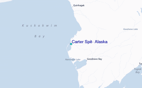