
| Distance / Altitude | Location | Report Date / Time | Live Weather | Wind | Gusts | Temp. | Visibility | Cloud |
|---|---|---|---|---|---|---|---|---|
| 86 km WSW / 34 m | Braganca (81685 -0) (Brazil) | 2026-07-10 00:00 local (2026/07/10 03:00 GMT) | no report | calm (4 km/h at 120) | 25°C | - | - | |
| 89 km SE / 42 m | Turiacu (81687 -0) (Brazil) | 2026-07-10 00:00 local (2026/07/10 03:00 GMT) | no report | calm (0 km/h at 120) | 27°C | - | - | |
| 161 km W / 22 m | Salinopolis (81660 -0) (Brazil) | 2026-07-10 00:00 local (2026/07/10 03:00 GMT) | no report | calm (4 km/h at 120) | 25°C | - | - | |
| 215 km WSW / 66 m | Castanhal (Brazil) | 2026-07-10 00:00 local (2026/07/10 03:00 GMT) | no report | calm (0 km/h at 100) | 25°C | - | - | |
| 249 km SSW / 102 m | Paragominas (Brazil) | 2026-07-10 00:00 local (2026/07/10 03:00 GMT) | no report | wind obs. (7 kph from 130 degs) was rejected (- km/h at -) | 24°C | - | - | |
| 249 km SE / 58 m | São Luís (Brazil) | 2026-07-10 00:00 local (2026/07/10 03:00 GMT) | no report | calm (4 km/h at 300) | 25°C | - | - | |
| 254 km SE / 216 m | Aeroporto Internacional de São Luís - Marechal (Brazil) | 2026-07-09 23:00 local (2026/07/10 02:00 GMT) | Dry and partly cloudy | light winds from the E (17 km/h at 80) | 27°C | 10.0 | few broken scattered | |
| 270 km WSW / 26 m | Belem (81680 -0) (Brazil) | 2026-07-10 00:00 local (2026/07/10 03:00 GMT) | no report | wind obs. (7 kph from 240 degs) was rejected (- km/h at -) | 25°C | - | - | |
| 273 km WSW / 215 m | Belém/Val de Cães International Airport (Brazil) | 2026-07-09 23:00 local (2026/07/10 02:00 GMT) | Dry and partly cloudy | light winds from the ENE (13 km/h at 60) | — | 0.0 | few scattered few | |
| 275 km WSW / 16 m | Belem (Aero) (Brazil) | 2026-07-10 00:00 local (2026/07/10 03:00 GMT) | mist | light winds from the E (13 km/h at 90) | 25°C | 9 | - - - |
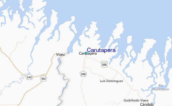
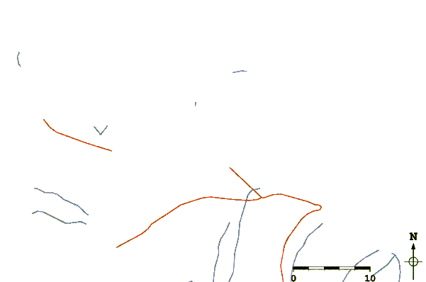
| Contours: | Roads & Rivers: | Select a
tide station / surf break / city |
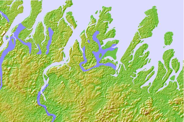
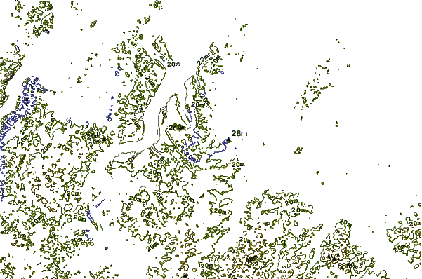
Use this relief map to navigate to tide stations, surf breaks and cities that are in the area of Carutapera.
Other Nearby Locations' tide tables and tide charts to Carutapera:
click location name for more details
 Surf breaks close to Carutapera:
|
||
|---|---|---|
| Closest surf break | Ponta d'Areia | 147 mi |
| Second closest surf break | Ponta do Farol | 149 mi |
| Third closest surf break | Praia de Sao Marcos | 149 mi |
| Fourth closest surf break | Praia do Calhau | 150 mi |
| Fifth closest surf break | Praia do Caolho | 152 mi |


 Nearest
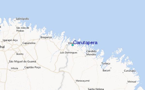