
| Distance / Altitude | Location | Report Date / Time | Live Weather | Wind | Gusts | Temp. | Visibility | Cloud |
|---|---|---|---|---|---|---|---|---|
| 361 km ENE / 232 m | Marambio Airport (Seymour Island) (Antarctica) | 2026-07-09 15:00 local (2026/07/09 18:00 GMT) | Dry and partly cloudy | strong winds from the SSW (43 km/h at 210) | -14°C | 10.0 | few scattered | |
| 406 km NE / 48 m | Centro Met. Antártico Presidente Eduardo Frei (Antarctica) | 2026-07-09 15:00 local (2026/07/09 18:00 GMT) | no report | wind obs. (115 kph from 270 degs) was rejected (- km/h at -) | -4°C | - | - | |
| 407 km NE / 45 m | Teniente R. Marsh Airport (Chile) | 2026-07-09 15:00 local (2026/07/09 18:00 GMT) | Dry and partly cloudy | strong winds from the WSW (50 km/h at 250) | -1°C | 10.0 | broken broken | |
| 414 km NE / 52 m | Dinamet (Antarctica (ay)) | 2026-07-09 15:00 local (2026/07/09 18:00 GMT) | no report | moderate winds from the WNW (22 km/h at 300) | -3°C | - | - | |
| 1146 km NW / 14 m | Guardiamarina Airport (Chile) | 2026-07-09 15:00 local (2026/07/09 18:00 GMT) | no report | wind obs. (43 kph from 260 degs) was rejected (- km/h at -) | -1°C | - | - | |
| 1146 km NW / 14 m | Puerto Williams (Chile) | 2026-07-09 15:00 local (2026/07/09 18:00 GMT) | Dry and partly cloudy | light winds from the W (13 km/h at 260) | 5°C | 10.0 | few broken broken | |
| 1170 km NW / 204 m | Ushuaia Naval Base Airport (Argentina) | 2026-07-09 15:00 local (2026/07/09 18:00 GMT) | Dry and partly cloudy | fresh winds from the WSW (33 km/h at 250) | 4°C | 10.0 | scattered | |
| 1274 km N / 102 m | Rio Grande Airport (Argentina) | 2026-07-09 15:00 local (2026/07/09 18:00 GMT) | Dry and partly cloudy | moderate winds from the W (28 km/h at 270) | — | 0.0 | few scattered - | |
| 1363 km NW / 42 m | Capitan Fuentes Martinez Airport (Chile) | 2026-07-09 15:00 local (2026/07/09 18:00 GMT) | Dry and partly cloudy | light winds from the SW (19 km/h at 230) | 5°C | 10.0 | few scattered broken | |
| 1383 km NW / 61 m | Punta Arenas Unidad Aeropolicial (Chile) | 2026-07-09 15:00 local (2026/07/09 18:00 GMT) | - | wind obs. (40 kph from 260 degs) was rejected (- km/h at -) | — | - | - |
| Contours: | Roads & Rivers: | Select a
tide station / surf break / city |
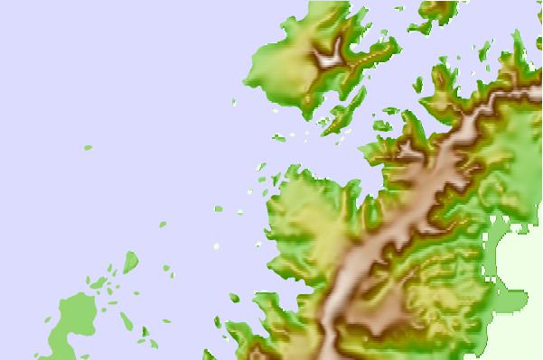
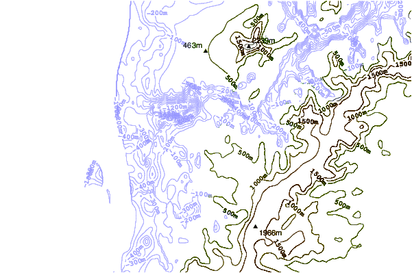
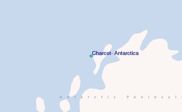
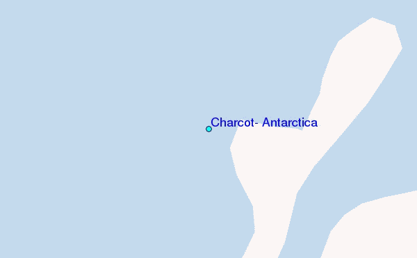
Use this relief map to navigate to tide stations, surf breaks and cities that are in the area of Charcot, Antarctica.
Other Nearby Locations' tide tables and tide charts to Charcot, Antarctica:
click location name for more details
 Surf breaks close to Charcot, Antarctica:
|
||
|---|---|---|
| Closest surf break | Río Grande | 791 mi |
| Second closest surf break | Bertha's Beach | 932 mi |
| Third closest surf break | Surf Bay | 951 mi |
| Fourth closest surf break | Elephant Beach | 965 mi |
| Fifth closest surf break | Cow Bay | 968 mi |


 Nearest
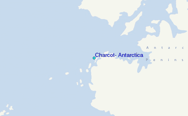