
| Distance / Altitude | Location | Report Date / Time | Live Weather | Wind | Gusts | Temp. | Visibility | Cloud |
|---|---|---|---|---|---|---|---|---|
| 22 km ENE / 216 m | Plaisance Airport (Mauritius) | 2026-07-09 22:00 local (2026/07/09 18:00 GMT) | Shower - in the vicinity | light winds from the ENE (17 km/h at 70) | 22°C | 10.0 | scattered | |
| 26 km N / 303 m | Stanley wx (Mauritius) | 2026-07-09 23:22 local (2026/07/09 19:22 GMT) | dry | calm (5 km/h at 108) | 18°C | - | - - 0 | |
| 53 km SE / 15 m | ASCATB58E21S (Marine) | 2026-07-09 21:03 local (2026/07/09 17:03 GMT) | fresh winds from the E (29 km/h at 80) | — | - km | |||
| 54 km NNE / 32 m | Petit Raffray (Oman) | 2026-07-09 23:21 local (2026/07/09 19:21 GMT) | dry | calm (5 km/h at 54) | 22°C | - | - - 0 | |
| 58 km NNE / 10 m | La Tour (Mauritius) | 2026-07-09 23:00 local (2026/07/09 19:00 GMT) | - | strong winds from the ENE (39 km/h at 77) | 23°C | - | - - 0 | |
| 65 km WSW / 15 m | ASCATB57E21S (Marine) | 2026-07-09 21:03 local (2026/07/09 17:03 GMT) | moderate winds from the E (28 km/h at 80) | — | - km | |||
| 84 km WSW / 15 m | ASCATC57E21S (Marine) | 2026-07-09 21:29 local (2026/07/09 17:29 GMT) | fresh winds from the E (30 km/h at 79) | — | - km | |||
| 104 km N / 15 m | ASCATB58E20S (Marine) | 2026-07-09 21:03 local (2026/07/09 17:03 GMT) | fresh winds from the E (35 km/h at 100) | — | - km | |||
| 107 km E / 15 m | ASCATC58E21S (Marine) | 2026-07-09 21:29 local (2026/07/09 17:29 GMT) | moderate winds from the E (27 km/h at 83) | — | - km | |||
| 110 km NNE / 15 m | ASCATC58E20S (Marine) | 2026-07-09 21:29 local (2026/07/09 17:29 GMT) | fresh winds from the E (35 km/h at 92) | — | - km |
| Contours: | Roads & Rivers: | Select a
tide station / surf break / city |
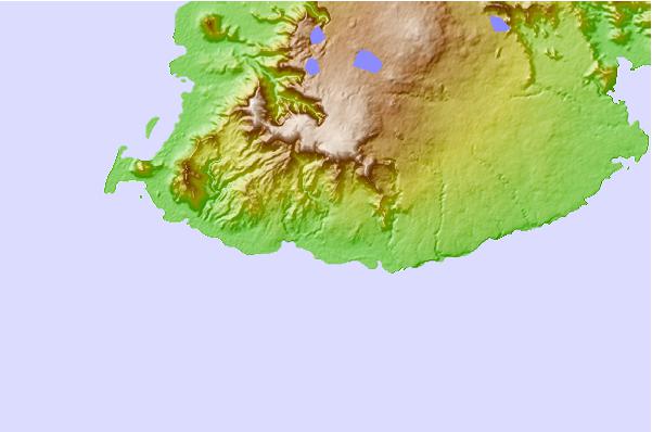
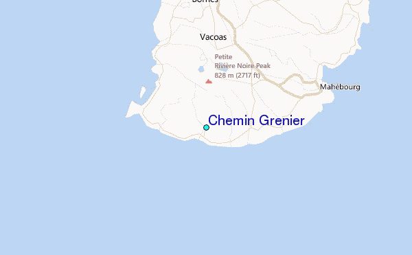
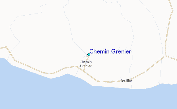
Use this relief map to navigate to tide stations, surf breaks and cities that are in the area of Chemin Grenier.
Other Nearby Locations' tide tables and tide charts to Chemin Grenier:
click location name for more details
 Surf breaks close to Chemin Grenier:
|
||
|---|---|---|
| Closest surf break | Grand Sancho | 1 mi |
| Second closest surf break | Ilot Sancho | 2 mi |
| Third closest surf break | Petit Sancho | 2 mi |
| Fourth closest surf break | Riviere de Galets | 2 mi |
| Fifth closest surf break | Graveyards / Cimetary | 4 mi |


 Nearest
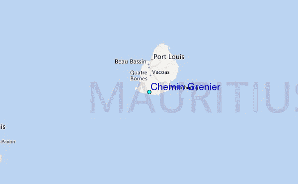