
| Distance / Altitude | Location | Report Date / Time | Live Weather | Wind | Gusts | Temp. | Visibility | Cloud |
|---|---|---|---|---|---|---|---|---|
| 58 km N / 3 m | W Prince William Sound Buoy (Marine) | 2026-06-23 18:50 local (2026/06/24 02:50 GMT) | light winds from the E (7 km/h at 90) | 10°C | - | |||
| 59 km NW / 3 m | BUOY-PPXA2 (Marine) | 2026-06-23 19:02 local (2026/06/24 03:02 GMT) | - (0 km/h at -) | 11°C | - | |||
| 63 km NW / 3 m | BUOY-WIXA2 (Marine) | 2026-06-23 19:02 local (2026/06/24 03:02 GMT) | calm (4 km/h at 70) | 11°C | - | |||
| 68 km WNW / 215 m | Portage Glacier Airport (Alaska) | 2026-06-23 17:53 local (2026/06/24 01:53 GMT) | Dry and cloudy | light winds from the E (19 km/h at 90) | 11°C | 16 | broken overcast | |
| 71 km E / 3 m | Seal Rocks Buoy (Marine) | 2026-06-23 18:50 local (2026/06/24 02:50 GMT) | - (- km/h at -) | — | - | |||
| 73 km E / 15 m | SHIP2554 (Marine) | 2026-06-23 18:00 local (2026/06/24 02:00 GMT) | moderate winds from the SE (22.32 km/h at 140) | — | - km | |||
| 73 km NE / 15 m | SHIP1749 (Marine) | 2026-06-23 17:00 local (2026/06/24 01:00 GMT) | fresh winds from the ESE (31.680000000000003 km/h at 120) | — | - km | |||
| 74 km E / 15 m | SHIP6674 (Marine) | 2026-06-23 18:00 local (2026/06/24 02:00 GMT) | light winds from the SSE (18.36 km/h at 150) | — | - km | |||
| 74 km E / 3 m | SHIP8580 (Marine) | 2026-06-23 18:00 local (2026/06/24 02:00 GMT) | light winds from the SSE (18 km/h at 150) | 9°C | - | |||
| 75 km SW / 3 m | BUOY-SWXA2 (Marine) | 2026-06-23 19:02 local (2026/06/24 03:02 GMT) | moderate winds from the SSE (26 km/h at 150) | — | - |
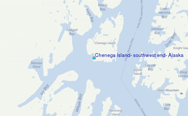
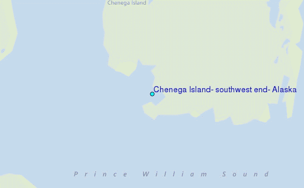
Choose Chenega Island, southwest end, Alaska Location Map Zoom:
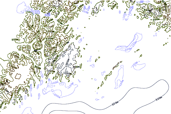
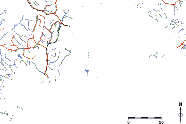
| Contours: | Roads & Rivers: | Select a
tide station / surf break / city |
Use this relief map to navigate to tide stations, surf breaks and cities that are in the area of Chenega Island, southwest end, Alaska.
Other Nearby Locations' tide tables and tide charts to Chenega Island, southwest end, Alaska:
click location name for more details
 Surf breaks close to Chenega Island, southwest end, Alaska:
|
||
|---|---|---|
| Closest surf break | Bird Point (Tidal Bore) | 115 mi |
| Second closest surf break | Mill Bay | 227 mi |
| Third closest surf break | Termination Point | 227 mi |
| Fourth closest surf break | Monashka Bay | 229 mi |
| Fifth closest surf break | Fossil Beach Kodiak | 249 mi |


 Nearest
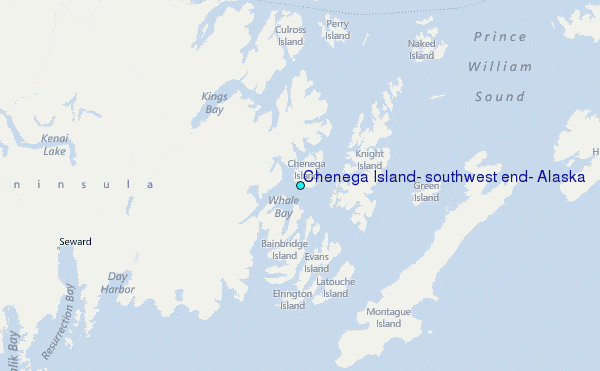