
| Distance / Altitude | Location | Report Date / Time | Live Weather | Wind | Gusts | Temp. | Visibility | Cloud |
|---|---|---|---|---|---|---|---|---|
| 1 km N / 3 m | lightning 6km E of Bellwood (United States) | 2026-06-22 20:36 local (2026/06/23 00:36 GMT) | Thunderstorm | (- km/h at -) | — | |||
| 10 km S / 19 m | thunderstorm affecting Colonial Heights (United States) | 2026-06-22 21:34 local (2026/06/23 01:34 GMT) | Thunderstorm | (- km/h at -) | — | |||
| 12 km SSW / 36 m | lightning 7km SSW of Chester (United States) | 2026-06-22 21:30 local (2026/06/23 01:30 GMT) | Thunderstorm | (- km/h at -) | — | |||
| 12 km WSW / 72 m | Richmond/Chester Airport (Virginia) | 2026-06-22 20:30 local (2026/06/23 00:30 GMT) | Thunderstorm - in the vicinity | calm (0 km/h at 0) | 24°C | 16 | few scattered | |
| 16 km SW / 57 m | lightning 6km SW of Chesterfield Court House (United States) | 2026-06-22 21:31 local (2026/06/23 01:31 GMT) | Thunderstorm | (- km/h at -) | — | |||
| 16 km NNE / 217 m | Richmond Airport (Virginia) | 2026-06-22 19:52 local (2026/06/22 23:52 GMT) | Thunderstorm light rain thunderstorm | light winds from the W (13 km/h at 270) | — | 10 | few broken | |
| 18 km NW / 61 m | lightning 5km SW of Richmond (United States) | 2026-06-22 19:16 local (2026/06/22 23:16 GMT) | Thunderstorm | (- km/h at -) | — | |||
| 20 km S / 42 m | thunderstorm affecting Matoaca (United States) | 2026-06-22 21:34 local (2026/06/23 01:34 GMT) | Thunderstorm | (- km/h at -) | — | |||
| 21 km ENE / 15 m | lightning 14km ENE of Fort Lee (United States) | 2026-06-22 21:04 local (2026/06/23 01:04 GMT) | Thunderstorm | (- km/h at -) | — | |||
| 25 km ENE / 37 m | Quinton Airport (Virginia) (Virginia) | 2026-06-22 20:35 local (2026/06/23 00:35 GMT) | Dry and cloudy | calm (0 km/h at 0) | 23°C | 16 | scattered broken overcast |
| Contours: | Roads & Rivers: | Select a
tide station / surf break / city |
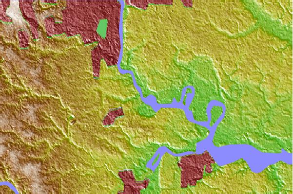
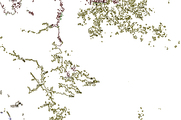
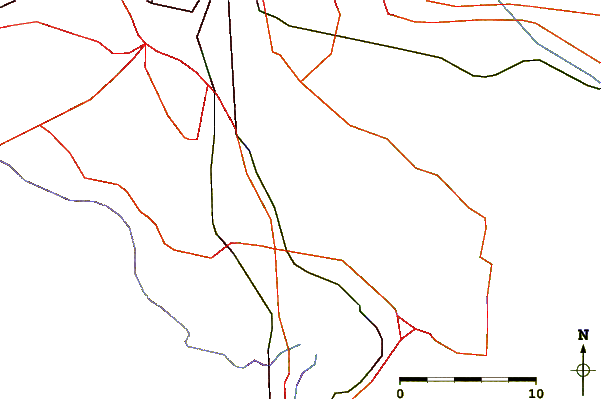
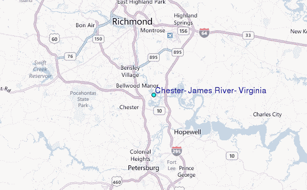
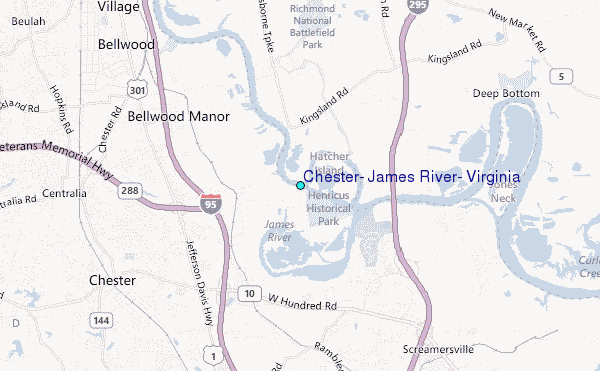
Use this relief map to navigate to tide stations, surf breaks and cities that are in the area of Chester, James River, Virginia.
Other Nearby Locations' tide tables and tide charts to Chester, James River, Virginia:
click location name for more details
 Surf breaks close to Chester, James River, Virginia:
|
||
|---|---|---|
| Closest surf break | Grandview | 65 mi |
| Second closest surf break | Fishermans Island | 81 mi |
| Third closest surf break | North End | 83 mi |
| Fourth closest surf break | 81st Street | 83 mi |
| Fifth closest surf break | 42nd St VA Beach | 85 mi |


 Nearest
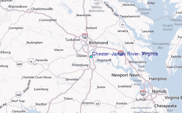