
| Distance / Altitude | Location | Report Date / Time | Live Weather | Wind | Gusts | Temp. | Visibility | Cloud |
|---|---|---|---|---|---|---|---|---|
| 10 km NW / 98 m | lightning 6km NNW of Nampo (North Korea) | 2026-07-10 04:31 local (2026/07/09 19:31 GMT) | Thunderstorm | (- km/h at -) | — | |||
| 11 km S / 94 m | lightning 14km NW of Anak (North Korea) | 2026-07-10 03:02 local (2026/07/09 18:02 GMT) | Thunderstorm | (- km/h at -) | — | |||
| 23 km NE / 10 m | lightning 12km NW of Songnim (North Korea) | 2026-07-10 05:04 local (2026/07/09 20:04 GMT) | Thunderstorm | (- km/h at -) | — | |||
| 36 km NE / 5 m | lightning 9km WNW of Chunghwa-up (North Korea) | 2026-07-10 05:16 local (2026/07/09 20:16 GMT) | Thunderstorm | (- km/h at -) | — | |||
| 38 km NNE / 28 m | lightning 18km N of Yonggang-up (North Korea) | 2026-07-10 05:16 local (2026/07/09 20:16 GMT) | Thunderstorm | (- km/h at -) | — | |||
| 47 km SSE / 211 m | lightning 14km SSW of Chaeryong-up (North Korea) | 2026-07-10 03:01 local (2026/07/09 18:01 GMT) | Thunderstorm | (- km/h at -) | — | |||
| 48 km NE / 13 m | lightning 4km WSW of Pyongyang (North Korea) | 2026-07-10 05:16 local (2026/07/09 20:16 GMT) | Thunderstorm | (- km/h at -) | — | |||
| 52 km ENE / 222 m | lightning 15km ENE of Hukkyo-ri (North Korea) | 2026-07-10 03:17 local (2026/07/09 18:17 GMT) | Thunderstorm | (- km/h at -) | — | |||
| 52 km SE / 387 m | lightning 12km N of Ayang-ni (North Korea) | 2026-07-10 04:34 local (2026/07/09 19:34 GMT) | Thunderstorm | (- km/h at -) | — | |||
| 61 km NE / 30 m | thunderstorm affecting Sungho 1-tong (North Korea) | 2026-07-10 05:02 local (2026/07/09 20:02 GMT) | Thunderstorm | (- km/h at -) | — |
| Contours: | Roads & Rivers: | Select a
tide station / surf break / city |
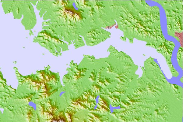
Use this relief map to navigate to tide stations, surf breaks and cities that are in the area of Chinnampo, North Korea.
Other Nearby Locations' tide tables and tide charts to Chinnampo, North Korea:
click location name for more details
 Surf breaks close to Chinnampo, North Korea:
|
||
|---|---|---|
| Closest surf break | Songdojin ni | 162 mi |
| Second closest surf break | 38 Line | 188 mi |
| Third closest surf break | Ingu Beach | 188 mi |
| Fourth closest surf break | Jumunjin | 195 mi |
| Fifth closest surf break | Gyongpo Beach | 201 mi |


 Nearest