
| Distance / Altitude | Location | Report Date / Time | Live Weather | Wind | Gusts | Temp. | Visibility | Cloud |
|---|---|---|---|---|---|---|---|---|
| 2 km NNE / 1 m | Burton wx (United Kingdom) | 2026-06-26 22:19 local (2026/06/26 21:19 GMT) | dry | calm (3 km/h at 225) | 21°C | - | - - 0 | |
| 5 km SW / 3 m | Boscombe Waverider (Marine) | 2026-06-26 21:50 local (2026/06/26 20:50 GMT) | - (- km/h at -) | — | - | |||
| 5 km WNW / 178 m | Bournemouth Airport (United Kingdom) | 2026-06-26 22:20 local (2026/06/26 21:20 GMT) | - | light winds from the W (13 km/h at 260) | — | 0.0 | ||
| 12 km SSE / 3 m | Poole Bay WaveNet Site (Marine) | 2026-06-26 22:30 local (2026/06/26 21:30 GMT) | - (- km/h at -) | — | - | |||
| 12 km ESE / 3 m | Milford Waverider (Marine) | 2026-06-26 22:01 local (2026/06/26 21:01 GMT) | - (- km/h at -) | — | - | |||
| 27 km E / 3 m | SHIP527 (Marine) | 2026-06-26 22:00 local (2026/06/26 21:00 GMT) | - (- km/h at -) | 19°C | - | |||
| 27 km E / 15 m | SHIP2853 (Marine) | 2026-06-26 21:00 local (2026/06/26 20:00 GMT) | - (- km/h at -) | — | - km | |||
| 27 km E / 3 m | SHIP427 (Marine) | 2026-06-26 22:00 local (2026/06/26 21:00 GMT) | - (- km/h at -) | 19°C | - | |||
| 27 km E / 15 m | SHIP1427 (Marine) | 2026-06-26 23:00 local (2026/06/26 22:00 GMT) | - (- km/h at -) | — | - km | |||
| 27 km E / 3 m | SHIP229 (Marine) | 2026-06-26 21:00 local (2026/06/26 20:00 GMT) | - (- km/h at -) | 21°C | - |
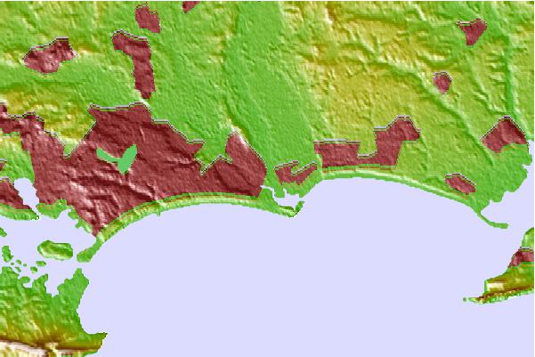
| Contours: | Roads & Rivers: | Select a
tide station / surf break / city |
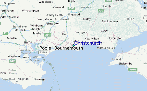
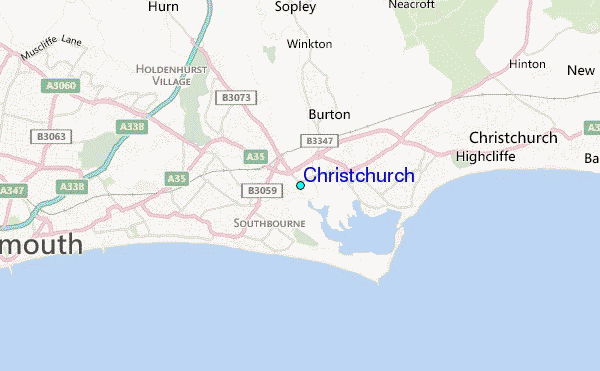
Use this relief map to navigate to tide stations, surf breaks and cities that are in the area of Christchurch.
Other Nearby Locations' tide tables and tide charts to Christchurch:
click location name for more details
 Surf breaks close to Christchurch:
|
||
|---|---|---|
| Closest surf break | Southbourne | 1 mi |
| Second closest surf break | Boscombe Pier | 3 mi |
| Third closest surf break | Highcliffe | 3 mi |
| Fourth closest surf break | Bournemouth Pier | 5 mi |
| Fifth closest surf break | Swanage | 11 mi |


 Nearest
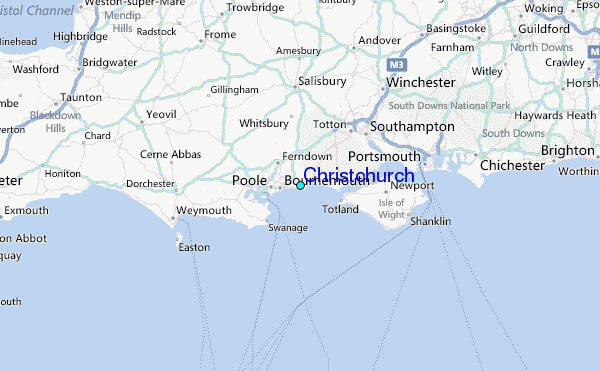