
| Distance / Altitude | Location | Report Date / Time | Live Weather | Wind | Gusts | Temp. | Visibility | Cloud |
|---|---|---|---|---|---|---|---|---|
| 6 km SW / 184 m | Christmas Island Airport (Australia) | 2026-07-26 05:40 local (2026/07/25 22:40 GMT) | Dry and partly cloudy | light winds from the SE (19 km/h at 130) | 24°C | 10.0 | broken broken broken | |
| 403 km NNE / 481 m | Genteng wx (Indonesia) | 2026-07-26 05:11 local (2026/07/25 22:11 GMT) | - | calm (0 km/h at 0) | — | - | - - 0 | |
| 438 km NNE / 796 m | Srigunting wx (Indonesia) | 2026-07-26 05:56 local (2026/07/25 22:56 GMT) | - | light winds from the SE (14 km/h at 132) | 25°C | - | - - 0 | |
| 458 km NNE / 64 m | Mampang-agung wx (Indonesia) | 2026-07-26 06:06 local (2026/07/25 23:06 GMT) | - | calm (0 km/h at 0) | — | - | - - 0 | |
| 477 km NNE / 25 m | Halim Perdanakus Airport (Indonesia) | 2026-07-26 05:30 local (2026/07/25 22:30 GMT) | Haze - | calm (0 km/h at 0) | 21°C | 5.0 | scattered | |
| 485 km NNE / 176 m | Soekarno-Hatta International Airport (Indonesia) | 2026-07-26 05:30 local (2026/07/25 22:30 GMT) | Dry and partly cloudy | light winds from the SSE (11 km/h at 150) | 24°C | 8.0 | few - - | |
| 510 km NE / 101 m | Pamijen Lor wx (Indonesia) | 2026-07-26 05:22 local (2026/07/25 22:22 GMT) | - | - (- km/h at ) | 22°C | - | - - 0 | |
| 580 km NE / 1394 m | Gunungmalang wx (Indonesia) | 2026-07-26 05:44 local (2026/07/25 22:44 GMT) | dry | calm (5 km/h at 12) | 12°C | - | - - 0 | |
| 581 km NE / 2039 m | Dieng Kulon wx (Indonesia) | 2026-07-26 05:36 local (2026/07/25 22:36 GMT) | - | wind obs. (32 kph from 92 degs) was rejected (- km/h at -) | — | - | - - 0 | |
| 637 km NE / 152 m | Bukitsari wx (Indonesia) | 2026-07-26 05:47 local (2026/07/25 22:47 GMT) | - | - (- km/h at ) | 27°C | - | - - 0 |
| Contours: | Roads & Rivers: | Select a
tide station / surf break / city |
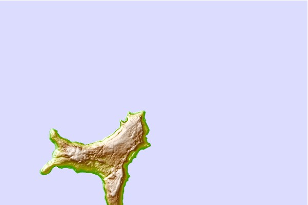
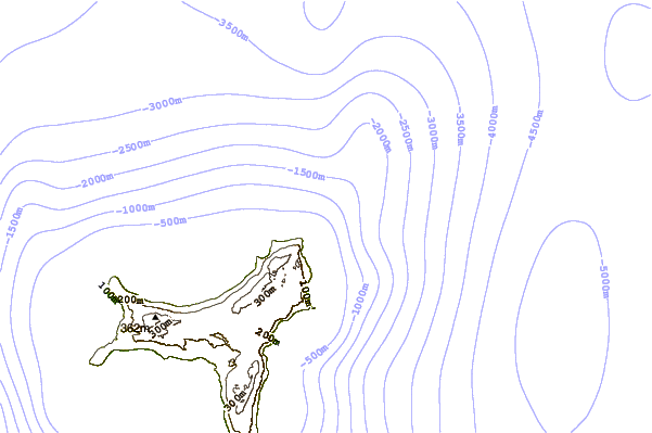
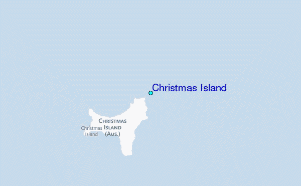
Use this relief map to navigate to tide stations, surf breaks and cities that are in the area of Christmas Island.
Other Nearby Locations' tide tables and tide charts to Christmas Island:
click location name for more details
 Surf breaks close to Christmas Island:
|
||
|---|---|---|
| Closest surf break | Jetty's | 4 mi |
| Second closest surf break | Ujung Genteng Harbour | 214 mi |
| Third closest surf break | Mama Losmen Left | 216 mi |
| Fourth closest surf break | Turtles | 219 mi |
| Fifth closest surf break | Ombak Tujuh | 221 mi |


 Nearest