
| Distance / Altitude | Location | Report Date / Time | Live Weather | Wind | Gusts | Temp. | Visibility | Cloud |
|---|---|---|---|---|---|---|---|---|
| 1 km SW / 3 m | Kiritimati Airport (Christmas Island) (Kiribati) | 2026-07-10 06:00 local (2026/07/09 18:00 GMT) | - | wind obs. (6 kph from 10 degs) was rejected (- km/h at -) | 27°C | |||
| 1220 km S / 1 m | Penrhyn Automatic Weather Station (Cook Islands) | 2026-07-10 06:00 local (2026/07/09 18:00 GMT) | no report | moderate winds from the E (28 km/h at 80) | 29°C | - | - | |
| 1390 km S / 5 m | Rakahanga Atoll Airport (Samoa/polynesia) | 2026-07-10 06:00 local (2026/07/09 18:00 GMT) | - | wind obs. (6 kph from 340 degs) was rejected (- km/h at -) | 26°C | |||
| 1422 km S / 0 m | Manihiki Island Airport (Samoa/polynesia) | 2026-07-10 06:00 local (2026/07/09 18:00 GMT) | - | calm (4 km/h at 20) | 28°C | |||
| 1428 km S / 2 m | Manihiki Automatic Weather Station (Cook Islands) | 2026-07-10 06:00 local (2026/07/09 18:00 GMT) | no report | wind obs. (9 kph from 120 degs) was rejected (- km/h at -) | 27°C | - | - | |
| 1428 km S / 2 m | Manihiki (Cook Islands) | 2026-07-10 06:00 local (2026/07/09 18:00 GMT) | no report | wind obs. (9 kph from 120 degs) was rejected (- km/h at -) | 27°C | - | - - - | |
| 1525 km ESE / 15 m | ASCATB216E1S (Marine) | 2026-07-10 06:00 local (2026/07/09 18:00 GMT) | light winds from the SE (16 km/h at 131) | — | - km | |||
| 1527 km E / 15 m | ASCATB216E0S (Marine) | 2026-07-10 06:00 local (2026/07/09 18:00 GMT) | light winds from the ESE (18 km/h at 118) | — | - km | |||
| 1530 km E / 15 m | ASCATB216E0N (Marine) | 2026-07-10 06:00 local (2026/07/09 18:00 GMT) | light winds from the ESE (19 km/h at 123) | — | - km | |||
| 1532 km ESE / 15 m | ASCATB216E2S (Marine) | 2026-07-10 06:01 local (2026/07/09 18:01 GMT) | light winds from the ESE (13 km/h at 104) | — | - km |
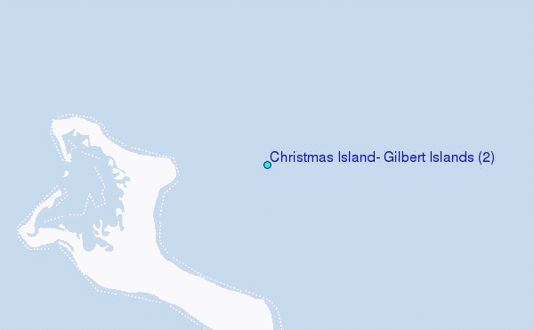
Choose Christmas Island, Gilbert Islands (2) Location Map Zoom:
| Contours: | Roads & Rivers: | Select a
tide station / surf break / city |
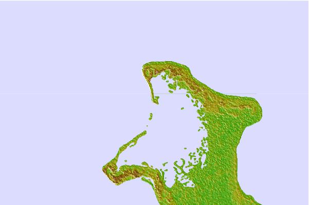

Use this relief map to navigate to tide stations, surf breaks and cities that are in the area of Christmas Island, Gilbert Islands (2).
Other Nearby Locations' tide tables and tide charts to Christmas Island, Gilbert Islands (2):
click location name for more details
 Surf breaks close to Christmas Island, Gilbert Islands (2):
|
||
|---|---|---|
| Closest surf break | English Channel Left (Fanning Island) | 185 mi |
| Second closest surf break | Kaalualu Point | 1178 mi |
| Third closest surf break | Kahuku Ranch | 1179 mi |
| Fourth closest surf break | The Point_Punaluu | 1182 mi |
| Fifth closest surf break | Punaluu | 1183 mi |


 Nearest
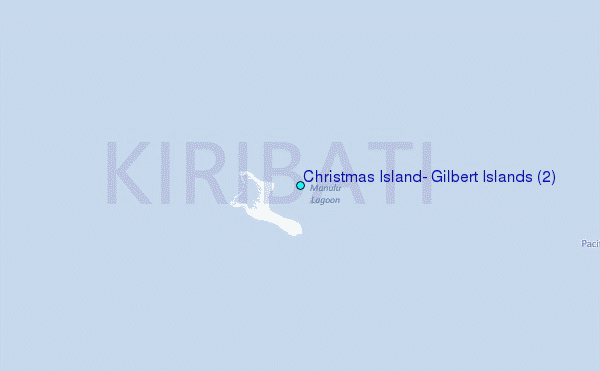